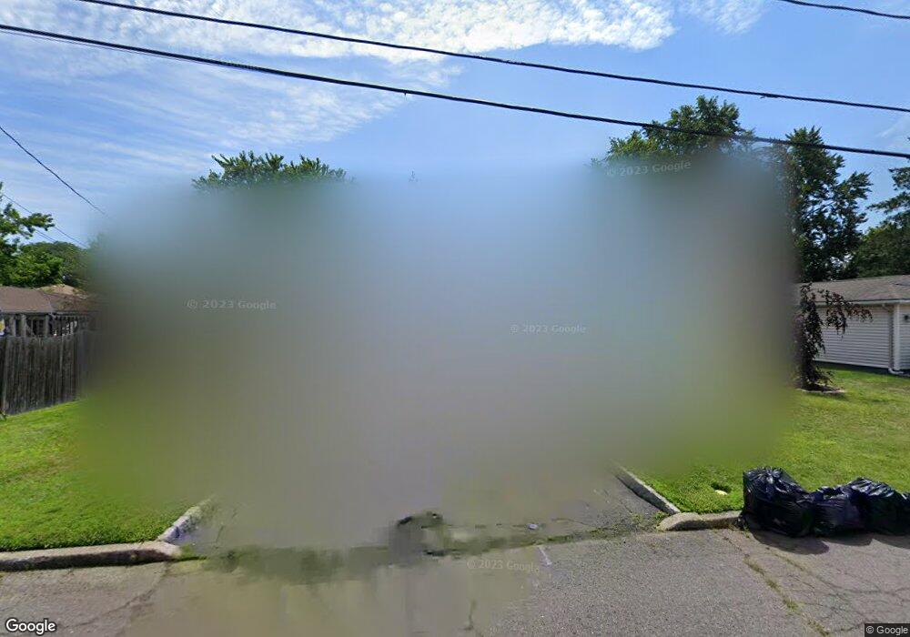
45 Maple Ln Emerson, NJ 07630
Estimated Value: $592,556 - $784,000
Studio
--
Bath
1,472
Sq Ft
$467/Sq Ft
Est. Value
About This Home
This home is located at 45 Maple Ln, Emerson, NJ 07630 and is currently estimated at $686,889, approximately $466 per square foot. 45 Maple Ln is a home located in Bergen County with nearby schools including Memorial Elementary School, Patrick M. Villano Elementary School, and Emerson Jr Sr High School.
Ownership History
Date
Name
Owned For
Owner Type
Purchase Details
Closed on
Apr 2, 2009
Sold by
Grasso Paul and Gallagher Grasso Margaret
Bought by
Auria Peter J D and Auria Dinorah D
Current Estimated Value
Purchase Details
Closed on
Mar 23, 2000
Sold by
Grasso Edna
Bought by
Grasso Paul and Grasso Margaret G
Home Financials for this Owner
Home Financials are based on the most recent Mortgage that was taken out on this home.
Original Mortgage
$95,000
Interest Rate
8.26%
Create a Home Valuation Report for This Property
The Home Valuation Report is an in-depth analysis detailing your home's value as well as a comparison with similar homes in the area
Home Values in the Area
Average Home Value in this Area
Purchase History
| Date | Buyer | Sale Price | Title Company |
|---|---|---|---|
| Auria Peter J D | $395,000 | -- | |
| Grasso Paul | $100,000 | -- |
Source: Public Records
Mortgage History
| Date | Status | Borrower | Loan Amount |
|---|---|---|---|
| Previous Owner | Grasso Paul | $95,000 |
Source: Public Records
Tax History
| Year | Tax Paid | Tax Assessment Tax Assessment Total Assessment is a certain percentage of the fair market value that is determined by local assessors to be the total taxable value of land and additions on the property. | Land | Improvement |
|---|---|---|---|---|
| 2025 | $10,444 | $316,200 | $190,000 | $126,200 |
| 2024 | $10,169 | $316,200 | $190,000 | $126,200 |
| 2023 | $9,575 | $316,200 | $190,000 | $126,200 |
| 2022 | $9,575 | $316,200 | $190,000 | $126,200 |
| 2021 | $9,388 | $316,200 | $190,000 | $126,200 |
| 2020 | $9,205 | $316,200 | $190,000 | $126,200 |
| 2019 | $8,996 | $316,200 | $190,000 | $126,200 |
| 2018 | $8,591 | $316,200 | $190,000 | $126,200 |
| 2017 | $8,417 | $316,200 | $190,000 | $126,200 |
| 2016 | $8,234 | $316,200 | $190,000 | $126,200 |
| 2015 | $8,063 | $316,200 | $190,000 | $126,200 |
| 2014 | $7,892 | $316,200 | $190,000 | $126,200 |
Source: Public Records
Map
Nearby Homes
- 27 Sullivan Dr
- 67 Emwood Dr
- 129 Sanford Ave
- 14 Lakeview Dr
- 93 Highland Ave
- 73 Seneca Ave
- 11 Belmont Ave
- 12 Belmont Ave
- 56 Jefferson Ave
- 19 Lexington Ave
- 19 Vivian Ave
- 23 John St
- 97 Wortendyke Ave
- 61 Woodmont Cir
- 8 Augusta Way
- 117 Vivian Ave
- 75 Demarest Ave
- 502 Westwood Ave
- 229 Rockland Ave
- 236 Oak Ave
Your Personal Tour Guide
Ask me questions while you tour the home.