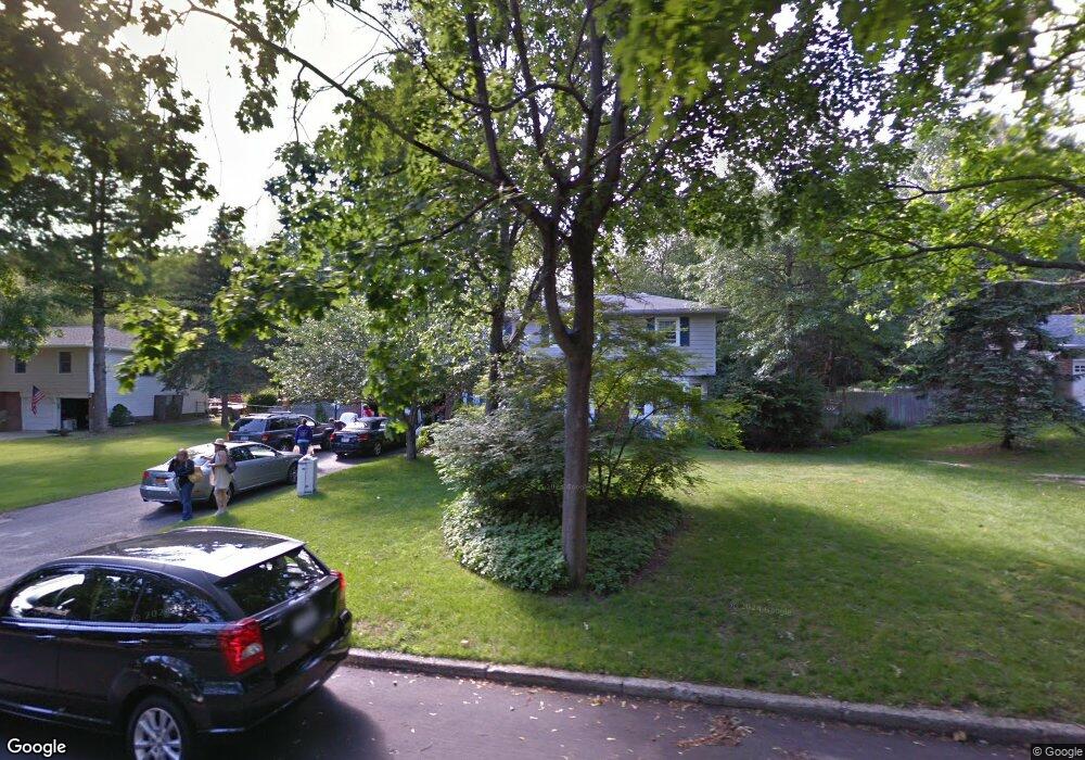
45 Mark Dr Smithtown, NY 11787
Estimated Value: $974,000 - $1,013,000
4
Beds
3
Baths
2,474
Sq Ft
$399/Sq Ft
Est. Value
About This Home
This home is located at 45 Mark Dr, Smithtown, NY 11787 and is currently estimated at $986,182, approximately $398 per square foot. 45 Mark Dr is a home located in Suffolk County with nearby schools including Smithtown Elementary School, Smithtown Christian School, and St Patrick Elementary School.
Ownership History
Date
Name
Owned For
Owner Type
Purchase Details
Closed on
Jan 22, 2015
Sold by
Olsen James E and Olsen Jacqueline Leonard
Bought by
Olivo Stephen G and Olivo Jayne E
Current Estimated Value
Home Financials for this Owner
Home Financials are based on the most recent Mortgage that was taken out on this home.
Original Mortgage
$470,250
Outstanding Balance
$359,792
Interest Rate
3.81%
Mortgage Type
New Conventional
Estimated Equity
$626,390
Create a Home Valuation Report for This Property
The Home Valuation Report is an in-depth analysis detailing your home's value as well as a comparison with similar homes in the area
Home Values in the Area
Average Home Value in this Area
Purchase History
| Date | Buyer | Sale Price | Title Company |
|---|---|---|---|
| Olivo Stephen G | $522,500 | Tradition Title |
Source: Public Records
Mortgage History
| Date | Status | Borrower | Loan Amount |
|---|---|---|---|
| Open | Olivo Stephen G | $470,250 |
Source: Public Records
Tax History
| Year | Tax Paid | Tax Assessment Tax Assessment Total Assessment is a certain percentage of the fair market value that is determined by local assessors to be the total taxable value of land and additions on the property. | Land | Improvement |
|---|---|---|---|---|
| 2024 | $16,817 | $6,900 | $475 | $6,425 |
| 2023 | $16,817 | $6,900 | $475 | $6,425 |
| 2022 | $15,195 | $6,900 | $475 | $6,425 |
| 2021 | $15,195 | $7,215 | $475 | $6,740 |
| 2020 | $16,682 | $7,215 | $475 | $6,740 |
| 2019 | $16,682 | $0 | $0 | $0 |
| 2018 | -- | $7,215 | $475 | $6,740 |
| 2017 | $15,510 | $7,215 | $475 | $6,740 |
| 2016 | $15,330 | $7,215 | $475 | $6,740 |
| 2015 | -- | $7,215 | $475 | $6,740 |
| 2014 | -- | $8,965 | $475 | $8,490 |
Source: Public Records
Map
Nearby Homes
- 7 Flamingo Dr
- 31 Brooksite Dr
- 55 Waverly Ave
- 96 Brooksite Dr
- 769 Meadow Rd
- 6 Stone Gate Ct
- 220 Larch Ln
- 27 Dillmont Dr
- 10 Manor Place
- 48 River Heights Dr
- 49 Lexington Ave
- 65 Birchbrook Dr
- 57 Birchbrook Dr
- 679A Meadow Rd
- 66 Darling Ave
- 18 Hill Ln
- 27 Rogers Ln Unit L
- 25 Rogers Ln
- 6 Keystone Ct
- 355 Route 111 Unit 6
Your Personal Tour Guide
Ask me questions while you tour the home.