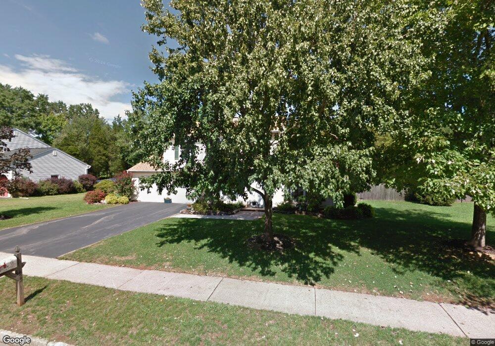
45 Marshall Rd Hillsborough, NJ 08844
Estimated Value: $623,000 - $712,000
--
Bed
--
Bath
1,410
Sq Ft
$458/Sq Ft
Est. Value
About This Home
This home is located at 45 Marshall Rd, Hillsborough, NJ 08844 and is currently estimated at $646,322, approximately $458 per square foot. 45 Marshall Rd is a home located in Somerset County with nearby schools including Hillsborough High School, Brighthorizons at Hillsborough, and Cherry Blossom Montessori School.
Ownership History
Date
Name
Owned For
Owner Type
Purchase Details
Closed on
Sep 30, 1991
Sold by
Galle James and Galle Linda
Bought by
Galle James and L G
Current Estimated Value
Purchase Details
Closed on
Apr 25, 1991
Sold by
Citicorp Mortgage Inc
Bought by
Galle James and Galle Lowande,Linda
Purchase Details
Closed on
Aug 2, 1990
Sold by
Baker Kris and Baker Annette
Bought by
Citicorp Mtge Inc
Create a Home Valuation Report for This Property
The Home Valuation Report is an in-depth analysis detailing your home's value as well as a comparison with similar homes in the area
Home Values in the Area
Average Home Value in this Area
Purchase History
| Date | Buyer | Sale Price | Title Company |
|---|---|---|---|
| Galle James | -- | -- | |
| Galle James | $158,000 | -- | |
| Citicorp Mtge Inc | -- | -- |
Source: Public Records
Tax History Compared to Growth
Tax History
| Year | Tax Paid | Tax Assessment Tax Assessment Total Assessment is a certain percentage of the fair market value that is determined by local assessors to be the total taxable value of land and additions on the property. | Land | Improvement |
|---|---|---|---|---|
| 2025 | $11,309 | $554,600 | $387,200 | $167,400 |
| 2024 | $11,309 | $527,700 | $372,200 | $155,500 |
| 2023 | $10,087 | $468,500 | $312,200 | $156,300 |
| 2022 | $9,843 | $440,800 | $307,200 | $133,600 |
| 2021 | $9,639 | $410,500 | $252,200 | $158,300 |
| 2020 | $9,641 | $404,400 | $247,200 | $157,200 |
| 2019 | $9,503 | $395,300 | $237,200 | $158,100 |
| 2018 | $8,977 | $371,100 | $212,200 | $158,900 |
| 2017 | $8,916 | $369,200 | $207,200 | $162,000 |
| 2016 | $8,881 | $367,900 | $208,100 | $159,800 |
| 2015 | $8,435 | $353,800 | $193,100 | $160,700 |
| 2014 | $8,136 | $348,600 | $178,100 | $170,500 |
Source: Public Records
Map
Nearby Homes
- 7 Monfort Dr
- 902 Merritt Dr Unit E
- 912 Merritt Dr Unit D
- 195 Beekman Ln
- 911 Merritt Dr Unit B2
- 710 Whitenack Ct
- 104 Devonshire Ct
- 303 Gemini Dr Unit 2B
- 807 Eves Dr Unit 1B
- 806 Eves Dr Unit 1B
- 911 Renate Dr Unit 1
- 790 Eves Dr
- 118 Bluebird Dr Unit 3
- 3120 Revere Ct
- 3204 Revere Ct
- 107 Bluebird Dr Unit 1D
- 61 Wallace Blvd
- 3011 Revere Ct
- 3014 Revere Ct
- 3007 Revere Ct