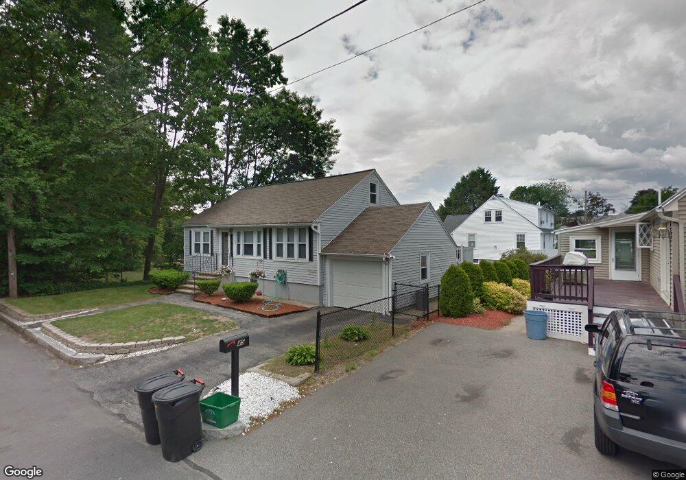
45 Meadowbrook Rd Methuen, MA 01844
The East End NeighborhoodEstimated Value: $516,000 - $547,000
2
Beds
2
Baths
1,193
Sq Ft
$442/Sq Ft
Est. Value
About This Home
This home is located at 45 Meadowbrook Rd, Methuen, MA 01844 and is currently estimated at $527,572, approximately $442 per square foot. 45 Meadowbrook Rd is a home located in Essex County with nearby schools including Timony Grammar School, Methuen High School, and Community Day Charter Public School - Gateway.
Ownership History
Date
Name
Owned For
Owner Type
Purchase Details
Closed on
Nov 8, 2019
Sold by
Daloia Laurie A and Daloia Steven J
Bought by
Daloia Steven J
Current Estimated Value
Home Financials for this Owner
Home Financials are based on the most recent Mortgage that was taken out on this home.
Original Mortgage
$268,000
Outstanding Balance
$234,209
Interest Rate
3.7%
Mortgage Type
New Conventional
Estimated Equity
$293,363
Purchase Details
Closed on
Dec 1, 2004
Sold by
Stlouis Deborah A and Stlouis William P
Bought by
Daloia Laurie A and Daloia Steven J
Home Financials for this Owner
Home Financials are based on the most recent Mortgage that was taken out on this home.
Original Mortgage
$240,000
Interest Rate
5.69%
Mortgage Type
Purchase Money Mortgage
Create a Home Valuation Report for This Property
The Home Valuation Report is an in-depth analysis detailing your home's value as well as a comparison with similar homes in the area
Home Values in the Area
Average Home Value in this Area
Purchase History
| Date | Buyer | Sale Price | Title Company |
|---|---|---|---|
| Daloia Steven J | -- | None Available | |
| Daloia Steven J | -- | None Available | |
| Daloia Steven J | -- | None Available | |
| Daloia Laurie A | $300,000 | -- | |
| Daloia Laurie A | $300,000 | -- | |
| Daloia Laurie A | $300,000 | -- |
Source: Public Records
Mortgage History
| Date | Status | Borrower | Loan Amount |
|---|---|---|---|
| Open | Daloia Steven J | $268,000 | |
| Closed | Daloia Steven J | $268,000 | |
| Previous Owner | Daloia Laurie A | $240,000 |
Source: Public Records
Tax History
| Year | Tax Paid | Tax Assessment Tax Assessment Total Assessment is a certain percentage of the fair market value that is determined by local assessors to be the total taxable value of land and additions on the property. | Land | Improvement |
|---|---|---|---|---|
| 2025 | $4,819 | $455,500 | $191,400 | $264,100 |
| 2024 | $4,765 | $438,800 | $174,600 | $264,200 |
| 2023 | $4,515 | $385,900 | $155,200 | $230,700 |
| 2022 | $4,363 | $334,300 | $129,300 | $205,000 |
| 2021 | $4,105 | $311,200 | $122,900 | $188,300 |
| 2020 | $4,095 | $304,700 | $122,900 | $181,800 |
| 2019 | $3,803 | $268,000 | $109,900 | $158,100 |
| 2018 | $3,723 | $260,900 | $109,900 | $151,000 |
| 2017 | $3,614 | $246,700 | $109,900 | $136,800 |
| 2016 | $3,464 | $233,900 | $103,500 | $130,400 |
| 2015 | $3,298 | $225,900 | $103,500 | $122,400 |
Source: Public Records
Map
Nearby Homes
- 18 Erhardt Terrace
- 7 Erhardt Terrace
- 32 Josephine Ave
- 106 Leroy Ave
- 39 Swan Ave
- 264 E Haverhill St Unit 2
- 12 Annette St
- 14 Court St
- 68 Ashford St
- 109 Ferry St
- 2 Leslie St
- 1 Riverview Blvd Unit 8-203
- 65 Arthur St
- 25-27 Bicknell Ave
- 5 Kendrick St
- 37 Albion St
- 192 Union St
- 27 Woodland Ct
- 173 Jackson St
- 80-82 Haverhill St
Your Personal Tour Guide
Ask me questions while you tour the home.