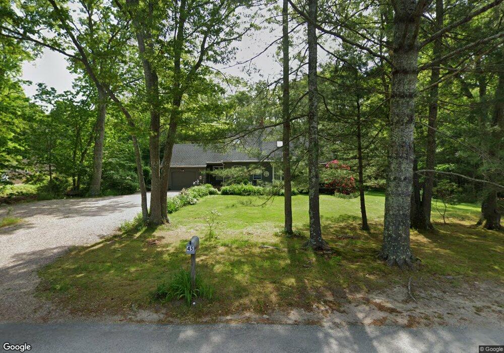
45 Mohawk Trail Charlestown, RI 02813
Estimated Value: $744,143 - $893,000
3
Beds
2
Baths
1,600
Sq Ft
$499/Sq Ft
Est. Value
About This Home
This home is located at 45 Mohawk Trail, Charlestown, RI 02813 and is currently estimated at $798,036, approximately $498 per square foot. 45 Mohawk Trail is a home located in Washington County with nearby schools including Chariho Regional Middle School and Chariho High School.
Ownership History
Date
Name
Owned For
Owner Type
Purchase Details
Closed on
Feb 25, 2022
Sold by
Barbera Enterprises Ltd
Bought by
Olbres Courtney and Olbres Jarrod
Current Estimated Value
Purchase Details
Closed on
Jul 21, 1999
Sold by
Cesaroni Daniel A and Cesaroni Beverly J
Bought by
Cummings Brian E and Cummings Dorothy A
Create a Home Valuation Report for This Property
The Home Valuation Report is an in-depth analysis detailing your home's value as well as a comparison with similar homes in the area
Home Values in the Area
Average Home Value in this Area
Purchase History
| Date | Buyer | Sale Price | Title Company |
|---|---|---|---|
| Olbres Courtney | $150,000 | None Available | |
| Cummings Brian E | $175,000 | -- |
Source: Public Records
Mortgage History
| Date | Status | Borrower | Loan Amount |
|---|---|---|---|
| Previous Owner | Cummings Brian E | $196,000 | |
| Previous Owner | Cummings Brian E | $199,000 | |
| Previous Owner | Cummings Brian E | $213,000 | |
| Previous Owner | Cummings Brian E | $130,000 |
Source: Public Records
Tax History
| Year | Tax Paid | Tax Assessment Tax Assessment Total Assessment is a certain percentage of the fair market value that is determined by local assessors to be the total taxable value of land and additions on the property. | Land | Improvement |
|---|---|---|---|---|
| 2025 | $3,455 | $582,600 | $207,900 | $374,700 |
| 2024 | $3,367 | $582,600 | $207,900 | $374,700 |
| 2023 | $3,344 | $582,600 | $207,900 | $374,700 |
| 2022 | $2,927 | $358,300 | $100,800 | $257,500 |
| 2021 | $2,931 | $358,300 | $100,800 | $257,500 |
| 2020 | $2,949 | $358,300 | $100,800 | $257,500 |
| 2019 | $2,775 | $300,700 | $100,800 | $199,900 |
| 2018 | $2,899 | $300,700 | $100,800 | $199,900 |
| 2017 | $2,884 | $300,700 | $100,800 | $199,900 |
| 2016 | $3,020 | $295,800 | $91,600 | $204,200 |
| 2015 | $2,991 | $295,800 | $91,600 | $204,200 |
| 2014 | $2,928 | $295,800 | $91,600 | $204,200 |
Source: Public Records
Map
Nearby Homes
- 45 Elizabeth Cooper Dr
- 120 Narrow Ln
- 0 Old Post Rd
- 10 Josephine Dr Unit 1C
- 10 Josephine Dr Unit 2D
- 350 Narrow Ln
- 12 Mautucket Rd
- 197 Old Coach Rd
- 15 Charlestown Rd
- 14 Charlestown Rd
- 1935 Matunuck School House Rd
- 5 Shadberry Trail
- 20 Auburn Dr
- 4459 Old Post Rd
- 38 Beach Dr
- 19 Traymore St
- 130 Pequot Dr
- 61 Slope Ave
- 11 Wendy Ln
- 209 Carpenter Dr
- 0 Mohawk Trail
- 197 Mohawk Trail
- 244 Mohawk Trail
- 51 Mohawk Trail
- 39 Mohawk Trail
- 88 Mohawk Trail
- 25 W Castle Way Unit D
- 25 W Castle Way Unit C
- 25 W Castle Way Unit B
- 25 W Castle Way Unit A
- 25 W Castle Way Unit 25D
- 25 W Castle Way Unit 25 A
- 40 Mohawk Trail
- 26 W Castle Way Unit A
- 26 W Castle Way Unit D
- 26 W Castle Way Unit C
- 26 W Castle Way Unit B
- 26 W Castle Way Unit 26-A
- 26 W Castle Way Unit 26D
- 26 W Castle Way Unit 26C
Your Personal Tour Guide
Ask me questions while you tour the home.