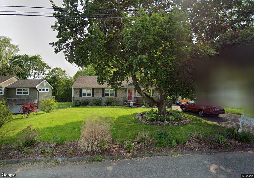
45 Moorland Rd Trumbull, CT 06611
Trumbull Center NeighborhoodEstimated Value: $507,904 - $610,000
3
Beds
2
Baths
1,196
Sq Ft
$464/Sq Ft
Est. Value
About This Home
This home is located at 45 Moorland Rd, Trumbull, CT 06611 and is currently estimated at $555,226, approximately $464 per square foot. 45 Moorland Rd is a home located in Fairfield County with nearby schools including Frenchtown Elementary School, Hillcrest Middle School, and Trumbull High School.
Ownership History
Date
Name
Owned For
Owner Type
Purchase Details
Closed on
Sep 10, 2003
Sold by
Gennarini Mary
Bought by
Tsocanos Anthony
Current Estimated Value
Home Financials for this Owner
Home Financials are based on the most recent Mortgage that was taken out on this home.
Original Mortgage
$247,500
Outstanding Balance
$94,298
Interest Rate
3.67%
Estimated Equity
$460,928
Create a Home Valuation Report for This Property
The Home Valuation Report is an in-depth analysis detailing your home's value as well as a comparison with similar homes in the area
Home Values in the Area
Average Home Value in this Area
Purchase History
| Date | Buyer | Sale Price | Title Company |
|---|---|---|---|
| Tsocanos Anthony | $330,000 | -- |
Source: Public Records
Mortgage History
| Date | Status | Borrower | Loan Amount |
|---|---|---|---|
| Open | Tsocanos Anthony | $247,500 |
Source: Public Records
Tax History Compared to Growth
Tax History
| Year | Tax Paid | Tax Assessment Tax Assessment Total Assessment is a certain percentage of the fair market value that is determined by local assessors to be the total taxable value of land and additions on the property. | Land | Improvement |
|---|---|---|---|---|
| 2025 | $8,919 | $241,570 | $156,100 | $85,470 |
| 2024 | $8,675 | $241,570 | $156,100 | $85,470 |
| 2023 | $8,535 | $241,570 | $156,100 | $85,470 |
| 2022 | $8,398 | $241,570 | $156,100 | $85,470 |
| 2021 | $7,227 | $197,750 | $130,130 | $67,620 |
| 2020 | $7,089 | $197,750 | $130,130 | $67,620 |
| 2018 | $5,192 | $197,750 | $130,130 | $67,620 |
| 2017 | $6,775 | $197,750 | $130,130 | $67,620 |
| 2016 | $6,638 | $197,750 | $130,130 | $67,620 |
| 2015 | $6,724 | $198,000 | $130,100 | $67,900 |
| 2014 | $6,580 | $198,000 | $130,100 | $67,900 |
Source: Public Records
Map
Nearby Homes
- 8 Moorland Rd
- 122 Paugusett Cir
- 58 Daniels Farm Rd
- 121 Paugusett Cir
- 7 Manor Dr
- 11 Laurel St
- 33 Enclave Dr Unit 33
- 60 Lillian Dr
- Lot 31 Valley View Rd
- 1 Village Dr
- 1675 Old Town Rd
- 26 Grove St
- 1800 Chopsey Hill Rd
- 715 Frenchtown Rd Unit 31
- 253 Mayfield Dr Unit 253
- 283 Mayfield Dr
- 401 Unity Rd
- 87 Parkway Dr
- 90 Sequoia Rd
- 17 Rainbow Dr
- 41 Moorland Rd
- 49 Moorland Rd
- 37 Moorland Rd
- 129 Suzanne Cir
- 55 Moorland Rd
- 117 Suzanne Cir
- 43 Grandview Dr
- 44 Moorland Rd
- 103 Suzanne Cir
- 50 Moorland Rd
- 40 Moorland Rd
- 35 Grandview Dr
- 139 Suzanne Cir
- 54 Moorland Rd
- 31 Moorland Rd
- 34 Moorland Rd
- 35 Arden Rd
- 126 Suzanne Cir
- 42 Grandview Dr
- 58 Moorland Rd