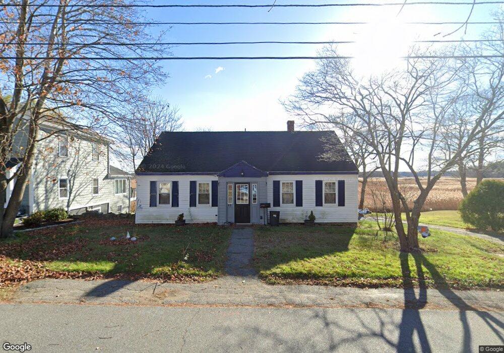
45 Mudnock Rd Salisbury, MA 01952
Estimated Value: $529,000 - $685,000
2
Beds
1
Bath
2,610
Sq Ft
$229/Sq Ft
Est. Value
About This Home
This home is located at 45 Mudnock Rd, Salisbury, MA 01952 and is currently estimated at $598,675, approximately $229 per square foot. 45 Mudnock Rd is a home located in Essex County with nearby schools including Triton Regional High School and River Valley Charter School.
Ownership History
Date
Name
Owned For
Owner Type
Purchase Details
Closed on
Feb 4, 2021
Sold by
Mcnulty Keith
Bought by
Triglione Anthony
Current Estimated Value
Purchase Details
Closed on
Sep 9, 2020
Sold by
Wells Fargo Bank Na Tr
Bought by
Mcnulty Keith M
Purchase Details
Closed on
Sep 26, 2018
Sold by
Nock Erik C
Bought by
Wells Fargo Bank Na Tr
Purchase Details
Closed on
Jun 6, 2016
Sold by
Nock Alyssa
Bought by
Nock Erik
Purchase Details
Closed on
Jul 30, 2001
Sold by
Andriotakis Nancy
Bought by
Rogers Mark and Rogers Kimberly
Purchase Details
Closed on
Nov 26, 1997
Sold by
Fnma
Bought by
Nock Erik and Nock Alyssa M
Purchase Details
Closed on
Oct 8, 1997
Sold by
Manock Gary E
Bought by
Federal National Mortgage Association
Create a Home Valuation Report for This Property
The Home Valuation Report is an in-depth analysis detailing your home's value as well as a comparison with similar homes in the area
Home Values in the Area
Average Home Value in this Area
Purchase History
| Date | Buyer | Sale Price | Title Company |
|---|---|---|---|
| Triglione Anthony | $624,600 | None Available | |
| Mcnulty Keith M | $301,551 | None Available | |
| Wells Fargo Bank Na Tr | $326,609 | -- | |
| Nock Erik | -- | -- | |
| Rogers Mark | $180,000 | -- | |
| Nock Erik | $90,155 | -- | |
| Federal National Mortgage Association | $83,000 | -- |
Source: Public Records
Mortgage History
| Date | Status | Borrower | Loan Amount |
|---|---|---|---|
| Previous Owner | Federal National Mortgage Association | $238,705 | |
| Previous Owner | Federal National Mortgage Association | $256,000 |
Source: Public Records
Tax History
| Year | Tax Paid | Tax Assessment Tax Assessment Total Assessment is a certain percentage of the fair market value that is determined by local assessors to be the total taxable value of land and additions on the property. | Land | Improvement |
|---|---|---|---|---|
| 2025 | $4,239 | $420,500 | $192,500 | $228,000 |
| 2024 | $4,080 | $390,400 | $182,400 | $208,000 |
| 2023 | $5,739 | $369,000 | $182,400 | $186,600 |
| 2022 | $4,915 | $334,400 | $162,100 | $172,300 |
| 2021 | $4,057 | $340,400 | $162,100 | $178,300 |
| 2020 | $3,730 | $325,500 | $170,200 | $155,300 |
| 2019 | $3,813 | $307,300 | $162,100 | $145,200 |
| 2018 | $3,632 | $294,000 | $152,000 | $142,000 |
| 2017 | $3,282 | $261,900 | $131,700 | $130,200 |
| 2016 | $2,985 | $255,800 | $125,600 | $130,200 |
| 2015 | $2,935 | $249,800 | $126,100 | $123,700 |
Source: Public Records
Map
Nearby Homes
- 48 Beach Rd Unit C
- 9 Meadowview Ln Unit A
- 14 Meadowview Ln Unit B
- 16 Meadowview Ln Unit B
- 2 True Rd
- 3 Lighthouse Cir Unit A
- 86 Ferry Rd
- 14 Partridge Ln Unit C
- 157 Bridge Rd
- 14 Seabrook Rd
- 175 Bridge Rd
- 1 Jefferson St
- 297 Merrimac St
- 191 Elm St
- 1 Oakland St Unit 2
- 57 Baker Rd
- 42 Kendell Ln
- 34 Dock Ln
- 215 Merrimac St Unit 2
- 1 Beacon St
- 43 Mudnock Rd
- 47 Mudnock Rd
- 44 Mudnock Rd
- 41 Mudnock Rd
- 49 Mudnock Rd
- 40 Mudnock Rd
- 39 Mudnock Rd
- 1 Ferry Lots Ln
- 36 Mudnock Rd
- 48 Mudnock Rd
- 3 Ferry Lots Ln
- 38 Mudnock Rd
- 51 Mudnock Rd
- 35 Mudnock Rd
- 50 Mudnock Rd
- 34 Mudnock Rd
- 2 Ferry Lots Ln
- 5 Ferry Lots Ln
- 2 Ferry Rd Unit B
- 2 Ferry Rd Unit B (Left)
Your Personal Tour Guide
Ask me questions while you tour the home.