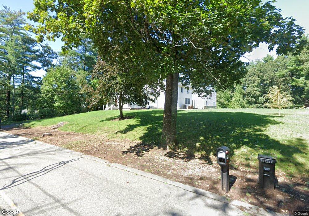
45 Myrtle St Wrentham, MA 02093
Estimated Value: $752,468 - $868,000
4
Beds
3
Baths
3,478
Sq Ft
$233/Sq Ft
Est. Value
About This Home
This home is located at 45 Myrtle St, Wrentham, MA 02093 and is currently estimated at $810,117, approximately $232 per square foot. 45 Myrtle St is a home located in Norfolk County with nearby schools including Delaney Elementary School, Charles E Roderick, and Foxborough Regional Charter School.
Ownership History
Date
Name
Owned For
Owner Type
Purchase Details
Closed on
Jul 31, 1998
Sold by
Bogdanyi Francis J and Bogdanyi Susan J
Bought by
Bartle Joan Q
Current Estimated Value
Home Financials for this Owner
Home Financials are based on the most recent Mortgage that was taken out on this home.
Original Mortgage
$180,000
Interest Rate
6.9%
Purchase Details
Closed on
Jul 8, 1993
Sold by
Freeman Louise M
Bought by
Bogdanyi Francis J and Bogdanyi Susan J
Create a Home Valuation Report for This Property
The Home Valuation Report is an in-depth analysis detailing your home's value as well as a comparison with similar homes in the area
Home Values in the Area
Average Home Value in this Area
Purchase History
| Date | Buyer | Sale Price | Title Company |
|---|---|---|---|
| Bartle Joan Q | $200,000 | -- | |
| Bogdanyi Francis J | $148,000 | -- |
Source: Public Records
Mortgage History
| Date | Status | Borrower | Loan Amount |
|---|---|---|---|
| Open | Bogdanyi Francis J | $315,000 | |
| Closed | Bogdanyi Francis J | $320,000 | |
| Closed | Bogdanyi Francis J | $180,000 |
Source: Public Records
Tax History Compared to Growth
Tax History
| Year | Tax Paid | Tax Assessment Tax Assessment Total Assessment is a certain percentage of the fair market value that is determined by local assessors to be the total taxable value of land and additions on the property. | Land | Improvement |
|---|---|---|---|---|
| 2025 | $7,237 | $624,400 | $309,000 | $315,400 |
| 2024 | $7,450 | $620,800 | $309,000 | $311,800 |
| 2023 | $7,509 | $595,000 | $281,400 | $313,600 |
| 2022 | $7,022 | $513,700 | $262,900 | $250,800 |
| 2021 | $6,924 | $492,100 | $230,300 | $261,800 |
| 2020 | $5,887 | $413,100 | $205,500 | $207,600 |
| 2019 | $5,833 | $413,100 | $205,500 | $207,600 |
| 2018 | $6,471 | $454,400 | $205,600 | $248,800 |
| 2017 | $6,045 | $424,200 | $201,700 | $222,500 |
| 2016 | $5,958 | $417,200 | $195,800 | $221,400 |
| 2015 | $5,731 | $382,600 | $188,300 | $194,300 |
| 2014 | $5,190 | $339,000 | $151,900 | $187,100 |
Source: Public Records
Map
Nearby Homes
- 362 East St
- 65 Pond St
- 1 Lorraine Metcalf Dr
- 270 Dedham St
- 120 Hawes St
- 483 Thurston St
- 10 Nature View Dr
- 15 Nature View Dr
- 319 Taunton St
- 25 Foxboro Rd
- 11 Goodwin Dr
- 131 Creek St Unit 7
- 11 Earle Stewart Ln
- Lot 3 - 14 Earle Stewart Ln
- Lot 1 - Blueberry 2 Car Plan at King Philip Estates
- Lot 8 - Blueberry 2 Car Plan at King Philip Estates
- Lot 5 - Hughes 2 car Plan at King Philip Estates
- Lot 6 - Blueberry 3 Car Plan at King Philip Estates
- Lot 2 - Camden 2 Car Plan at King Philip Estates
- Lot 7 - Cedar Plan at King Philip Estates