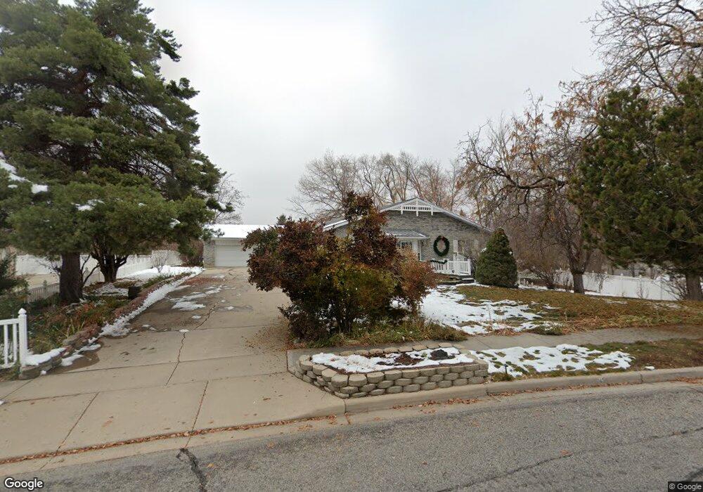
45 N Lone Peak Dr Alpine, UT 84004
Estimated Value: $1,079,606 - $1,432,000
4
Beds
4
Baths
3,151
Sq Ft
$406/Sq Ft
Est. Value
About This Home
This home is located at 45 N Lone Peak Dr, Alpine, UT 84004 and is currently estimated at $1,278,902, approximately $405 per square foot. 45 N Lone Peak Dr is a home located in Utah County with nearby schools including Alpine School, Timberline Middle School, and Lone Peak High School.
Ownership History
Date
Name
Owned For
Owner Type
Purchase Details
Closed on
Dec 15, 2009
Sold by
Kelsch Raymond M and Kelsch Josephine B
Bought by
Kelsch Raymond M and Kelsch Josephine A Bullock
Current Estimated Value
Purchase Details
Closed on
Jan 26, 2005
Sold by
Kelsch Raymond M and Kelsch Josephine B
Bought by
Kelsch Raymond M and Kelsch Josephine A Bullock
Create a Home Valuation Report for This Property
The Home Valuation Report is an in-depth analysis detailing your home's value as well as a comparison with similar homes in the area
Home Values in the Area
Average Home Value in this Area
Purchase History
| Date | Buyer | Sale Price | Title Company |
|---|---|---|---|
| Kelsch Raymond M | -- | Greenbrier Title Insurance | |
| Kelsch Raymond M | -- | Greenbrier Title Insurance | |
| Kelsch Raymond M | -- | -- |
Source: Public Records
Tax History Compared to Growth
Tax History
| Year | Tax Paid | Tax Assessment Tax Assessment Total Assessment is a certain percentage of the fair market value that is determined by local assessors to be the total taxable value of land and additions on the property. | Land | Improvement |
|---|---|---|---|---|
| 2025 | $4,382 | $540,485 | $411,100 | $571,600 |
| 2024 | $4,382 | $510,675 | $0 | $0 |
| 2023 | $4,269 | $534,160 | $0 | $0 |
| 2022 | $4,190 | $509,135 | $0 | $0 |
| 2021 | $3,716 | $701,500 | $233,100 | $468,400 |
| 2020 | $3,583 | $661,900 | $202,700 | $459,200 |
| 2019 | $3,119 | $601,500 | $202,700 | $398,800 |
| 2018 | $3,157 | $601,500 | $202,700 | $398,800 |
| 2017 | $2,889 | $292,930 | $0 | $0 |
| 2016 | $2,740 | $259,050 | $0 | $0 |
| 2015 | $2,897 | $259,050 | $0 | $0 |
| 2014 | $2,594 | $229,515 | $0 | $0 |
Source: Public Records
Map
Nearby Homes
- 19 N Lone Peak Dr
- 1063 E Alpine Dr
- 76 N Bald Mountain Dr
- 196 Holly Dr
- 1450 E Golden Eagle Cir Unit 10
- 870 Quail Hollow Cir
- 546 River Meadow Dr
- 1131 E Fox Meadow Ln Unit 5
- 653 Hampton Ct
- 667 E 770 N
- 475 Grove Dr
- 201 E Red Pine Dr Unit 17
- 48 N 100 E
- 1292 E 810 S
- 1263 E Chapman Ct
- 659 E Pioneer Rd
- 1249 E Pioneer Rd
- 629 S Pheasant Ridge Cir
- 1116 Birch Cir
- 30 S Main St
- 65 N Lone Peak Dr
- 1052 E Meadow Cir
- 28 N Lone Peak Dr
- 8 S Lone Peak Dr
- 2 N Village Ct
- 1070 E Meadow Cir
- 7 S Lone Peak Dr
- 1139 E Lone Peak Dr
- 1012 E Meadow Cir
- 7 N Village Ct
- 1055 E Meadow Cir Unit 14A
- 1055 E Meadow Cir
- 1165 E Lone Peak Dr
- 16 S Country Manor Ln
- 45 S Lone Peak Dr
- 110 N Meadowbrook Dr
- 158 N Meadowbrook Dr
- 14 S Village Ct
- 125 N Country Manor Ln
- 1076 E Brook Cir