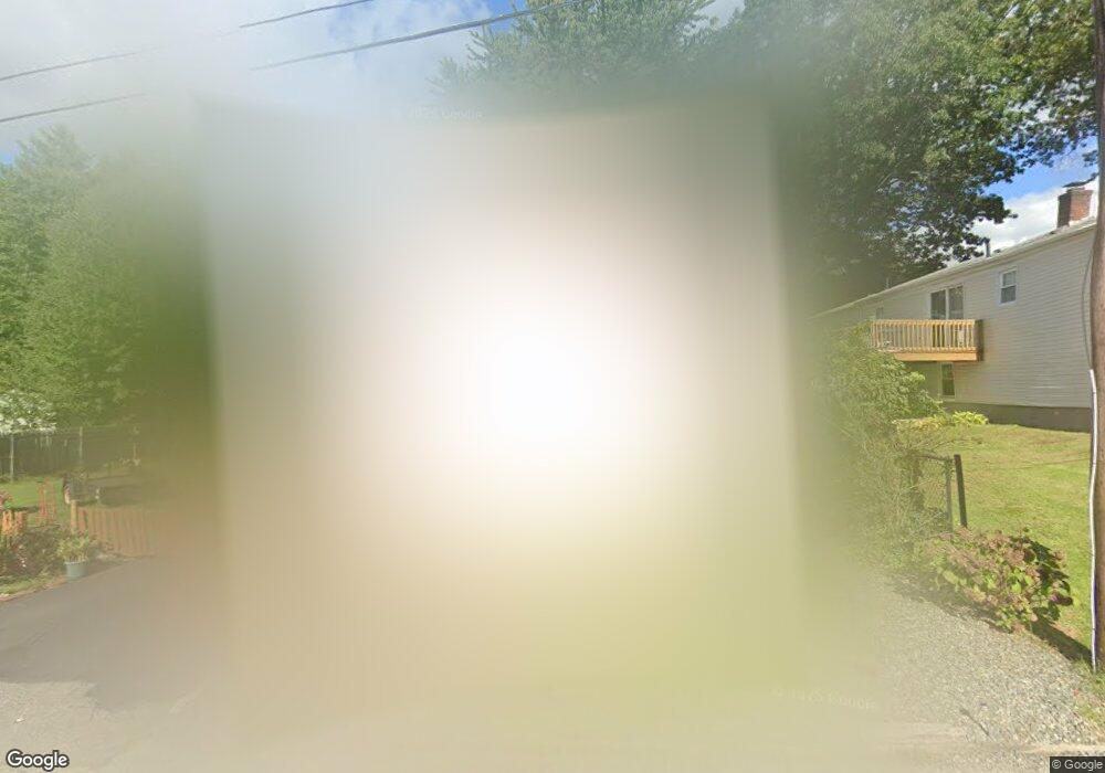
45 Nevada Ave Rumford, RI 02916
Phillipsdale NeighborhoodEstimated Value: $428,602 - $517,000
3
Beds
2
Baths
1,928
Sq Ft
$240/Sq Ft
Est. Value
About This Home
This home is located at 45 Nevada Ave, Rumford, RI 02916 and is currently estimated at $462,401, approximately $239 per square foot. 45 Nevada Ave is a home located in Providence County with nearby schools including East Providence High School, St Margaret School, and Saint Teresa Catholic Elementary School.
Ownership History
Date
Name
Owned For
Owner Type
Purchase Details
Closed on
Nov 27, 2022
Sold by
Melo Bernadette O
Bought by
Melo Joao G
Current Estimated Value
Purchase Details
Closed on
Mar 12, 1996
Sold by
Gaipo Eugene
Bought by
Cabral James M and Melo Bernadette O
Create a Home Valuation Report for This Property
The Home Valuation Report is an in-depth analysis detailing your home's value as well as a comparison with similar homes in the area
Home Values in the Area
Average Home Value in this Area
Purchase History
| Date | Buyer | Sale Price | Title Company |
|---|---|---|---|
| Melo Joao G | -- | None Available | |
| Melo Joao G | -- | None Available | |
| Cabral James M | $52,000 | -- | |
| Cabral James M | $52,000 | -- |
Source: Public Records
Mortgage History
| Date | Status | Borrower | Loan Amount |
|---|---|---|---|
| Previous Owner | Cabral James M | $140,000 | |
| Previous Owner | Cabral James M | $20,000 | |
| Previous Owner | Cabral James M | $10,000 | |
| Previous Owner | Cabral James M | $70,000 |
Source: Public Records
Tax History
| Year | Tax Paid | Tax Assessment Tax Assessment Total Assessment is a certain percentage of the fair market value that is determined by local assessors to be the total taxable value of land and additions on the property. | Land | Improvement |
|---|---|---|---|---|
| 2025 | $5,272 | $403,400 | $124,000 | $279,400 |
| 2024 | $5,077 | $331,200 | $103,300 | $227,900 |
| 2023 | $4,889 | $331,200 | $103,300 | $227,900 |
| 2022 | $4,256 | $194,700 | $73,600 | $121,100 |
| 2021 | $4,186 | $194,700 | $71,000 | $123,700 |
| 2020 | $4,009 | $194,700 | $71,000 | $123,700 |
| 2019 | $3,898 | $194,700 | $71,000 | $123,700 |
| 2018 | $3,878 | $169,500 | $56,900 | $112,600 |
| 2017 | $3,792 | $169,500 | $56,900 | $112,600 |
| 2016 | $3,773 | $169,500 | $56,900 | $112,600 |
| 2015 | $3,250 | $141,600 | $55,200 | $86,400 |
| 2014 | $3,250 | $141,600 | $55,200 | $86,400 |
Source: Public Records
Map
Nearby Homes
- 176 Campbell Ave
- 88 Pawtucket Ave
- 115 Campbell Ave
- 18 Anama Ave
- 339 Beverage Hill Ave
- 261 263 Roger Williams Ave
- 14 Jones Ave
- 5 Nelson St
- 40 E Point Dr Unit 6
- 38 E Point Dr Unit 5
- 36 E Point Dr Unit 4
- 34 E Point Dr Unit 3
- 23 Fortin Ave
- 62 York Ave
- 359 Williston Way
- 70 Manistee St
- 60 Nassau St
- 38 Lowell Ave
- 200 Roger Williams Ave Unit 201
- 1 Little St
- 19 Webster Ave
- 33 Nevada Ave
- 211 Pawtucket Ave
- 44 Nevada Ave
- 217 Pawtucket Ave
- 215 Pawtucket Ave
- 34 Nevada Ave
- 40 Nevada Ave
- 31 Nevada Ave
- 219 Pawtucket Ave
- 50 Nevada Ave
- 33 Orange St
- 20 Nevada Ave Unit 22
- 23 Orange St
- 57 Orange St
- 25 Nevada Ave
- 32 Nevada Ave
- 211 Campbell Ave
- 235 Campbell Ave
- 15 Nevada Ave
Your Personal Tour Guide
Ask me questions while you tour the home.