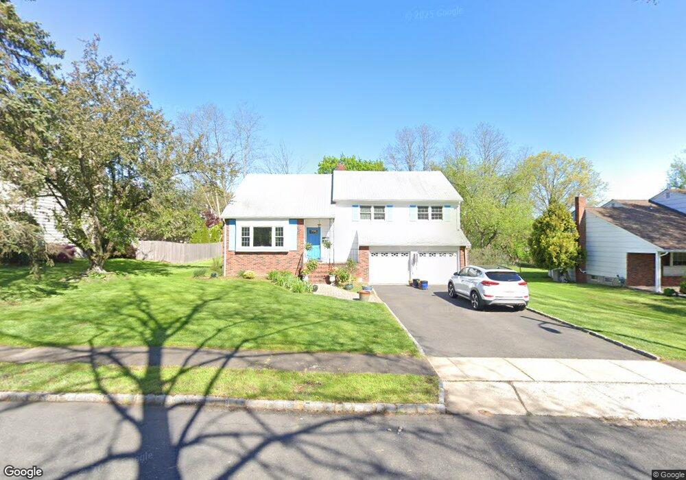
45 Nomahegan Dr Westfield, NJ 07090
Estimated Value: $946,000 - $1,074,000
--
Bed
--
Bath
2,239
Sq Ft
$457/Sq Ft
Est. Value
About This Home
This home is located at 45 Nomahegan Dr, Westfield, NJ 07090 and is currently estimated at $1,023,053, approximately $456 per square foot. 45 Nomahegan Dr is a home located in Union County with nearby schools including Washington Elementary School, Westfield Senior High School, and St Michael School.
Ownership History
Date
Name
Owned For
Owner Type
Purchase Details
Closed on
Dec 31, 1998
Sold by
Messina Angelo and Messina Mary C
Bought by
Messina James J and Petz Gail A
Current Estimated Value
Home Financials for this Owner
Home Financials are based on the most recent Mortgage that was taken out on this home.
Original Mortgage
$137,600
Interest Rate
6.7%
Create a Home Valuation Report for This Property
The Home Valuation Report is an in-depth analysis detailing your home's value as well as a comparison with similar homes in the area
Home Values in the Area
Average Home Value in this Area
Purchase History
| Date | Buyer | Sale Price | Title Company |
|---|---|---|---|
| Messina James J | $232,800 | First American Title Ins Co |
Source: Public Records
Mortgage History
| Date | Status | Borrower | Loan Amount |
|---|---|---|---|
| Closed | Messina James J | $137,600 |
Source: Public Records
Tax History Compared to Growth
Tax History
| Year | Tax Paid | Tax Assessment Tax Assessment Total Assessment is a certain percentage of the fair market value that is determined by local assessors to be the total taxable value of land and additions on the property. | Land | Improvement |
|---|---|---|---|---|
| 2025 | $15,615 | $693,400 | $443,200 | $250,200 |
| 2024 | $15,296 | $693,400 | $443,200 | $250,200 |
| 2023 | $15,296 | $693,400 | $443,200 | $250,200 |
| 2022 | $14,977 | $693,400 | $443,200 | $250,200 |
| 2021 | $14,998 | $693,400 | $443,200 | $250,200 |
| 2020 | $14,964 | $693,400 | $443,200 | $250,200 |
| 2019 | $14,908 | $693,400 | $443,200 | $250,200 |
| 2018 | $18,427 | $198,200 | $91,600 | $106,600 |
| 2017 | $18,326 | $198,200 | $91,600 | $106,600 |
| 2016 | $17,895 | $198,200 | $91,600 | $106,600 |
| 2015 | $17,539 | $198,200 | $91,600 | $106,600 |
| 2014 | $16,960 | $198,200 | $91,600 | $106,600 |
Source: Public Records
Map
Nearby Homes
- 58 B Sandra Cir Unit 1
- 41 C Sandra Cir Unit C3
- 1102 Park Place
- 1906 Park Place
- 3702 Park Place
- 5 Penn Rd
- 820 E Broad St
- 131 Wells St
- 874 Mountain Ave
- 3 Doering Way
- 28 S Derby Rd
- 766 Oak Ave
- 1256 Poplar Ave
- 33 Park Dr
- 8 Cedar St
- 529 Benson Place
- 484 4th Ave Unit 9
- 701 Mountain Ave
- 401 Brookside Place
- 508 N Chestnut St
- 41 Nomahegan Dr
- 49 Nomahegan Dr
- 412 Springfield Ave
- 56 C-1 Sandra Cir Unit 1
- 400 Springfield Ave
- 410 Springfield Ave
- 52 Mohican Dr
- 53 Nomahegan Dr
- 56 Mohican Dr
- 48 Mohican Dr
- 44 Mohican Dr
- 54 Nomahegan Dr
- 57 Nomahegan Dr
- 53 Mohican Dr
- 58 Nomahegan Dr
- 364 Springfield Ave
- 47 Mohican Dr
- 61 Nomahegan Dr
- 43 Mohican Dr
- 43 Unami Terrace