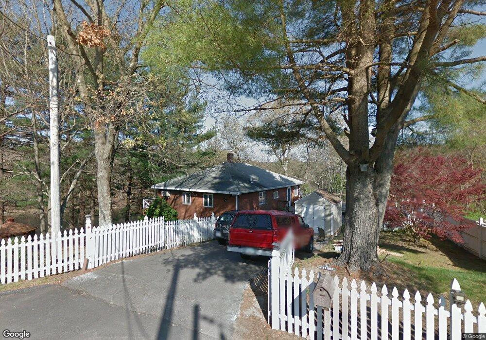
45 Norman Ave Taunton, MA 02780
Whittenton NeighborhoodEstimated Value: $470,000 - $490,000
2
Beds
2
Baths
1,260
Sq Ft
$382/Sq Ft
Est. Value
About This Home
This home is located at 45 Norman Ave, Taunton, MA 02780 and is currently estimated at $480,871, approximately $381 per square foot. 45 Norman Ave is a home located in Bristol County with nearby schools including Benjamin Friedman Middle School, Joseph C. Chamberlain Elementary School, and Taunton High School.
Ownership History
Date
Name
Owned For
Owner Type
Purchase Details
Closed on
Nov 20, 1985
Bought by
Proulx David W
Current Estimated Value
Create a Home Valuation Report for This Property
The Home Valuation Report is an in-depth analysis detailing your home's value as well as a comparison with similar homes in the area
Home Values in the Area
Average Home Value in this Area
Purchase History
| Date | Buyer | Sale Price | Title Company |
|---|---|---|---|
| Proulx David W | -- | -- |
Source: Public Records
Mortgage History
| Date | Status | Borrower | Loan Amount |
|---|---|---|---|
| Open | Proulx David W | $75,000 | |
| Closed | Proulx David W | $50,000 | |
| Closed | Proulx David W | $38,000 | |
| Closed | Proulx David W | $50,000 |
Source: Public Records
Tax History Compared to Growth
Tax History
| Year | Tax Paid | Tax Assessment Tax Assessment Total Assessment is a certain percentage of the fair market value that is determined by local assessors to be the total taxable value of land and additions on the property. | Land | Improvement |
|---|---|---|---|---|
| 2025 | $4,794 | $438,200 | $121,300 | $316,900 |
| 2024 | $4,448 | $397,500 | $121,300 | $276,200 |
| 2023 | $4,340 | $360,200 | $121,300 | $238,900 |
| 2022 | $4,137 | $313,900 | $101,100 | $212,800 |
| 2021 | $3,980 | $280,300 | $91,900 | $188,400 |
| 2020 | $3,929 | $264,400 | $91,900 | $172,500 |
| 2019 | $3,915 | $248,400 | $91,900 | $156,500 |
| 2018 | $3,636 | $231,300 | $92,900 | $138,400 |
| 2017 | $3,502 | $222,900 | $88,000 | $134,900 |
| 2016 | $3,379 | $215,500 | $85,500 | $130,000 |
| 2015 | $3,232 | $215,300 | $83,900 | $131,400 |
| 2014 | $3,094 | $211,800 | $83,900 | $127,900 |
Source: Public Records
Map
Nearby Homes
- 0 Montclair Ave Unit 72130752
- 68 Sabbatia Ln
- 59 Edgehill Rd
- 86 Lakeview Ave
- 0 Whittenton St
- 8 Spinnaker Ln Unit B
- 750 Whittenton St Unit 523
- 750 Whittenton St Unit 1021
- 22 Garfield St
- 3 4th Ave
- 3 4th Ave Unit 1
- 3 4th Ave Unit 2
- 9 Abbey Ln
- 12 Lisa Dr
- 17 Lisa Dr
- 43 Avon St
- 16 Hunter St Unit A
- 12 Oxford St
- 214 Eldridge St
- 113 Scadding St