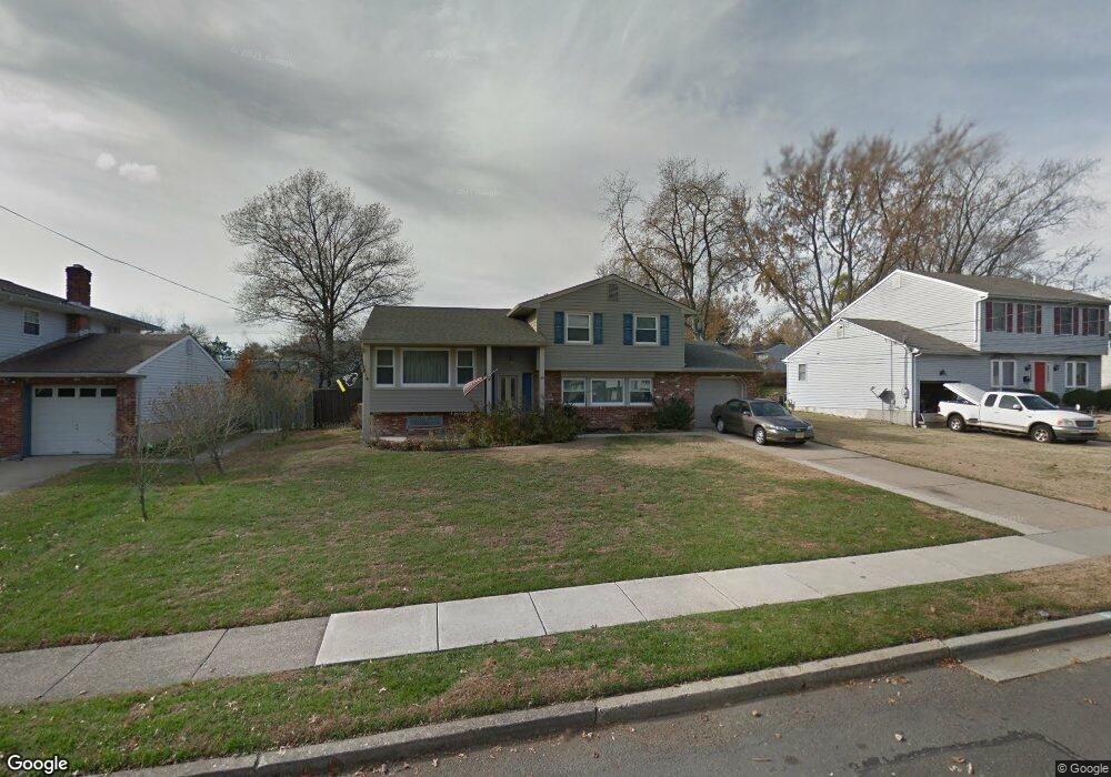
45 Notre Dame Dr Delran, NJ 08075
Estimated Value: $428,263 - $464,000
--
Bed
--
Bath
1,736
Sq Ft
$258/Sq Ft
Est. Value
About This Home
This home is located at 45 Notre Dame Dr, Delran, NJ 08075 and is currently estimated at $448,566, approximately $258 per square foot. 45 Notre Dame Dr is a home located in Burlington County with nearby schools including Millbridge Elementary School, Delran Intermediate School, and Delran Middle School.
Ownership History
Date
Name
Owned For
Owner Type
Purchase Details
Closed on
Dec 28, 2000
Sold by
Vaiarelli Anna M and Henry Linda
Bought by
Stillwell Edward and Stillwell Stacy J
Current Estimated Value
Home Financials for this Owner
Home Financials are based on the most recent Mortgage that was taken out on this home.
Original Mortgage
$114,800
Interest Rate
6.89%
Create a Home Valuation Report for This Property
The Home Valuation Report is an in-depth analysis detailing your home's value as well as a comparison with similar homes in the area
Home Values in the Area
Average Home Value in this Area
Purchase History
| Date | Buyer | Sale Price | Title Company |
|---|---|---|---|
| Stillwell Edward | $143,500 | Lawyers Title Insurance Corp | |
| Stillwell Edward | $143,500 | Lawyers Title Insurance Corp |
Source: Public Records
Mortgage History
| Date | Status | Borrower | Loan Amount |
|---|---|---|---|
| Previous Owner | Stillwell Edward | $114,800 |
Source: Public Records
Tax History Compared to Growth
Tax History
| Year | Tax Paid | Tax Assessment Tax Assessment Total Assessment is a certain percentage of the fair market value that is determined by local assessors to be the total taxable value of land and additions on the property. | Land | Improvement |
|---|---|---|---|---|
| 2025 | $8,099 | $203,700 | $52,000 | $151,700 |
| 2024 | $8,026 | $203,700 | $52,000 | $151,700 |
| 2023 | $8,026 | $203,700 | $52,000 | $151,700 |
| 2022 | $7,922 | $203,700 | $52,000 | $151,700 |
| 2021 | $7,926 | $203,700 | $52,000 | $151,700 |
| 2020 | $7,910 | $203,700 | $52,000 | $151,700 |
| 2019 | $7,836 | $203,700 | $52,000 | $151,700 |
| 2018 | $7,706 | $203,700 | $52,000 | $151,700 |
| 2017 | $7,584 | $203,700 | $52,000 | $151,700 |
| 2016 | $7,472 | $203,700 | $52,000 | $151,700 |
| 2015 | $7,347 | $203,700 | $52,000 | $151,700 |
| 2014 | $7,028 | $203,700 | $52,000 | $151,700 |
Source: Public Records
Map
Nearby Homes
- 60 Notre Dame Dr
- 29 Haines Mill Rd
- 53 Princeton Dr
- 31 Cornell Dr
- 128 Dorado Dr
- 228 Aqua Ln
- 139 Patricia Ave
- 53 Hartford Rd
- 110 Kathleen Ave
- 164 Fox Chase Dr
- 4327 Bridgeboro Rd
- 0 0 Swarthmore Dr
- 142 Fox Chase Dr
- 820 S Chester Ave
- 7016 Route 130
- 2204 New Albany Rd
- 2209 New Albany Rd
- 342 Huntington Dr Unit 342
- 810 Colby Ave
- 1122 S Fairview St
- 43 Notre Dame Dr
- 47 Notre Dame Dr
- 60 Haines Mill Rd
- 41 Notre Dame Dr
- 62 Haines Mill Rd
- 49 Notre Dame Dr
- 58 Haines Mill Rd
- 64 Haines Mill Rd
- 48 Notre Dame Dr
- 48 Notre Dame Ct
- 39 Notre Dame Dr
- 1 Notre Dame Ct
- 56 Haines Mill Rd
- 51 Notre Dame Dr
- 42 Notre Dame Dr
- 50 Notre Dame Dr
- 68 Haines Mill Rd
- 40 Notre Dame Dr
- 9 Notre Dame Ct
- 37 Notre Dame Dr