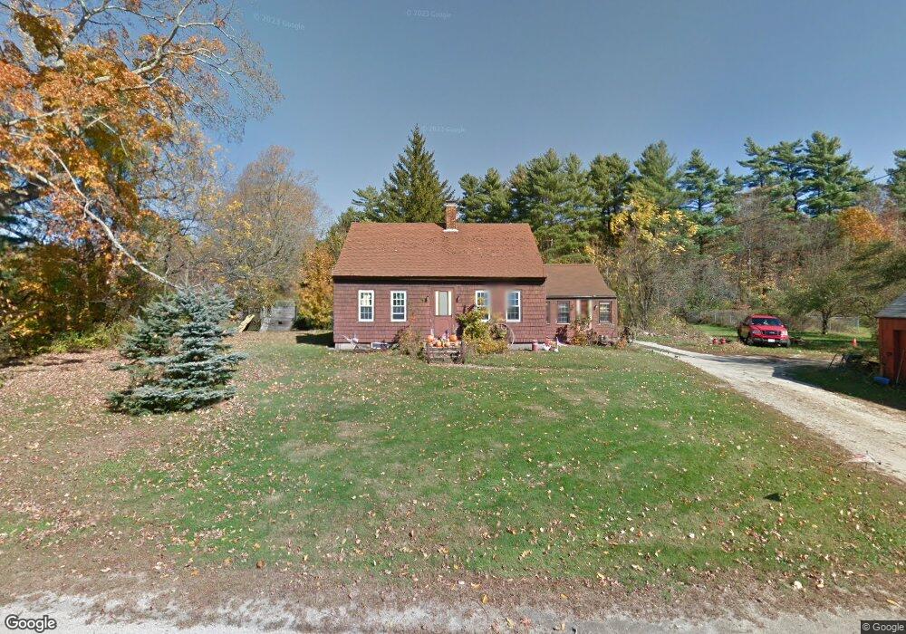
45 Oak St Douglas, MA 01516
Estimated Value: $778,000 - $958,000
4
Beds
3
Baths
3,220
Sq Ft
$275/Sq Ft
Est. Value
About This Home
This home is located at 45 Oak St, Douglas, MA 01516 and is currently estimated at $885,574, approximately $275 per square foot. 45 Oak St is a home located in Worcester County with nearby schools including Douglas Primary School, Douglas Middle School, and Douglas High School.
Ownership History
Date
Name
Owned For
Owner Type
Purchase Details
Closed on
Sep 22, 2020
Sold by
Tsimgiannis Odisefs
Bought by
Deter Jonathan L and Abasciano Melissa
Current Estimated Value
Home Financials for this Owner
Home Financials are based on the most recent Mortgage that was taken out on this home.
Original Mortgage
$496,000
Interest Rate
2.8%
Mortgage Type
New Conventional
Purchase Details
Closed on
Jul 8, 2016
Sold by
Mosczynski Susan G
Bought by
Tsimogiannis Odisef
Create a Home Valuation Report for This Property
The Home Valuation Report is an in-depth analysis detailing your home's value as well as a comparison with similar homes in the area
Home Values in the Area
Average Home Value in this Area
Purchase History
| Date | Buyer | Sale Price | Title Company |
|---|---|---|---|
| Deter Jonathan L | $622,000 | None Available | |
| Tsimogiannis Odisef | $42,000 | -- |
Source: Public Records
Mortgage History
| Date | Status | Borrower | Loan Amount |
|---|---|---|---|
| Previous Owner | Deter Jonathan L | $496,000 |
Source: Public Records
Tax History Compared to Growth
Tax History
| Year | Tax Paid | Tax Assessment Tax Assessment Total Assessment is a certain percentage of the fair market value that is determined by local assessors to be the total taxable value of land and additions on the property. | Land | Improvement |
|---|---|---|---|---|
| 2025 | $103 | $785,800 | $124,800 | $661,000 |
| 2024 | $10,185 | $753,300 | $113,500 | $639,800 |
| 2023 | $9,884 | $688,300 | $113,500 | $574,800 |
| 2022 | $10,605 | $649,000 | $102,200 | $546,800 |
| 2021 | $8,696 | $520,100 | $97,300 | $422,800 |
| 2020 | $5,490 | $323,300 | $97,300 | $226,000 |
| 2019 | $1,703 | $97,300 | $97,300 | $0 |
| 2018 | $1,564 | $97,300 | $97,300 | $0 |
| 2017 | $1,707 | $102,100 | $102,100 | $0 |
| 2016 | $4 | $212 | $212 | $0 |
| 2015 | $3 | $212 | $212 | $0 |
Source: Public Records
Map
Nearby Homes
- 19 Laurel Glades
- 18 Lakeshore Dr
- 2 Ledgestone Rd
- 223 West St
- 14 Whitin Heights
- 2 W Second St
- 4 1st St
- 108 Mumford St
- 182 Manchaug Rd
- 30 Mumford Rd
- 34R Tucker Ln
- 3 Ledge St
- 8 Whitins Rd Unit A
- 8A Whitins Rd
- Lot 27 Cedar St
- 31 Douglas Rd
- 244 Putnam Hill Rd
- 24 Manchaug Rd
- 9 Webster St Unit 9
- 7 Tower Hill Rd