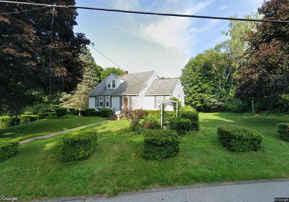
45 Pilgrim Rd Haverhill, MA 01832
Broad Hill NeighborhoodEstimated Value: $582,502 - $608,000
3
Beds
2
Baths
1,925
Sq Ft
$307/Sq Ft
Est. Value
About This Home
This home is located at 45 Pilgrim Rd, Haverhill, MA 01832 and is currently estimated at $591,876, approximately $307 per square foot. 45 Pilgrim Rd is a home located in Essex County with nearby schools including Tilton Elementary School, Consentino Middle School, and Haverhill High School.
Ownership History
Date
Name
Owned For
Owner Type
Purchase Details
Closed on
Nov 10, 2016
Sold by
Bouvier Shirley M
Bought by
Igoe Edward F
Current Estimated Value
Home Financials for this Owner
Home Financials are based on the most recent Mortgage that was taken out on this home.
Original Mortgage
$244,000
Outstanding Balance
$194,835
Interest Rate
3.42%
Mortgage Type
New Conventional
Estimated Equity
$397,041
Purchase Details
Closed on
Sep 16, 2016
Sold by
Bouvier Francis L and Bouvier Shirley M
Bought by
Bouvier Shirley M
Home Financials for this Owner
Home Financials are based on the most recent Mortgage that was taken out on this home.
Original Mortgage
$244,000
Outstanding Balance
$194,835
Interest Rate
3.42%
Mortgage Type
New Conventional
Estimated Equity
$397,041
Purchase Details
Closed on
Feb 6, 1963
Bought by
Bouvier Francis L and Bouvier Shirley M
Create a Home Valuation Report for This Property
The Home Valuation Report is an in-depth analysis detailing your home's value as well as a comparison with similar homes in the area
Home Values in the Area
Average Home Value in this Area
Purchase History
| Date | Buyer | Sale Price | Title Company |
|---|---|---|---|
| Igoe Edward F | $310,000 | -- | |
| Bouvier Shirley M | -- | -- | |
| Bouvier Francis L | -- | -- |
Source: Public Records
Mortgage History
| Date | Status | Borrower | Loan Amount |
|---|---|---|---|
| Open | Igoe Edward F | $244,000 |
Source: Public Records
Tax History
| Year | Tax Paid | Tax Assessment Tax Assessment Total Assessment is a certain percentage of the fair market value that is determined by local assessors to be the total taxable value of land and additions on the property. | Land | Improvement |
|---|---|---|---|---|
| 2025 | $5,650 | $527,500 | $206,300 | $321,200 |
| 2024 | $5,126 | $481,800 | $188,200 | $293,600 |
| 2023 | $4,980 | $446,600 | $188,200 | $258,400 |
| 2022 | $4,785 | $376,200 | $171,900 | $204,300 |
| 2021 | $4,673 | $347,700 | $161,000 | $186,700 |
| 2020 | $4,631 | $340,500 | $153,800 | $186,700 |
| 2019 | $4,472 | $320,600 | $133,900 | $186,700 |
| 2018 | $4,294 | $301,100 | $126,700 | $174,400 |
| 2017 | $4,257 | $284,000 | $123,000 | $161,000 |
| 2016 | $4,124 | $268,500 | $112,200 | $156,300 |
| 2015 | $4,121 | $268,500 | $112,200 | $156,300 |
Source: Public Records
Map
Nearby Homes
- 201 Broadway Unit 2
- 2 N Broadway
- 110 Pilling St
- 145 Warrenton Rd
- 108 Harrison St
- 54 Observatory Ave
- 64 Harrison St
- 53 Garden St
- 70 Casablanca Ct Unit 70
- 335 Washington St Unit 335
- 64 6th Ave
- 411 Washington St
- 192 Franklin St
- 21 Eudora St
- 2 Marion St
- 105 Hunters Run Place
- 36 Steeplechase Ct Unit B36
- 3 Grand Ave Unit 2
- 80 Wingate St Unit 2F
- 21 Wingate St Unit 303