Estimated Value: $336,975 - $475,000
2
Beds
1
Bath
630
Sq Ft
$606/Sq Ft
Est. Value
About This Home
This home is located at 45 Post Rd Unit 5, Wells, ME 04090 and is currently estimated at $381,994, approximately $606 per square foot. 45 Post Rd Unit 5 is a home located in York County with nearby schools including Wells Junior High School, Wells Elementary School, and Wells High School.
Ownership History
Date
Name
Owned For
Owner Type
Purchase Details
Closed on
May 23, 2017
Sold by
Seal Harbor Llc
Bought by
Behmke Christopher B and Behmke Brian E
Current Estimated Value
Home Financials for this Owner
Home Financials are based on the most recent Mortgage that was taken out on this home.
Original Mortgage
$172,000
Outstanding Balance
$141,663
Interest Rate
4.1%
Mortgage Type
New Conventional
Estimated Equity
$240,331
Create a Home Valuation Report for This Property
The Home Valuation Report is an in-depth analysis detailing your home's value as well as a comparison with similar homes in the area
Home Values in the Area
Average Home Value in this Area
Purchase History
| Date | Buyer | Sale Price | Title Company |
|---|---|---|---|
| Behmke Christopher B | -- | -- | |
| Behmke Christopher B | -- | -- | |
| Behmke Christopher B | -- | -- |
Source: Public Records
Mortgage History
| Date | Status | Borrower | Loan Amount |
|---|---|---|---|
| Open | Behmke Christopher B | $172,000 | |
| Closed | Behmke Christopher B | $172,000 |
Source: Public Records
Tax History
| Year | Tax Paid | Tax Assessment Tax Assessment Total Assessment is a certain percentage of the fair market value that is determined by local assessors to be the total taxable value of land and additions on the property. | Land | Improvement |
|---|---|---|---|---|
| 2024 | $2,123 | $349,230 | $300,230 | $49,000 |
| 2023 | $2,081 | $349,230 | $300,230 | $49,000 |
| 2022 | $2,304 | $220,260 | $136,600 | $83,660 |
| 2021 | $2,317 | $220,260 | $136,600 | $83,660 |
| 2020 | $2,308 | $220,260 | $136,600 | $83,660 |
| 2019 | $2,295 | $220,260 | $136,600 | $83,660 |
| 2018 | $2,318 | $224,660 | $136,600 | $88,060 |
| 2017 | $2,283 | $224,660 | $136,600 | $88,060 |
| 2016 | $285 | $28,360 | $0 | $28,360 |
Source: Public Records
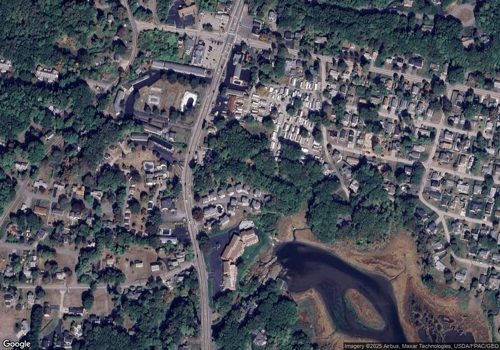
Map
Nearby Homes
- 76 Post Rd Unit 21M
- 9 Bourne Ave Unit B6
- 31 Rebecca Rd
- 1 Old County Rd Unit 165
- 1 Old County Rd Unit 155
- 191 Tatnic Rd Unit 73
- 168 Ocean Ave
- 412 Post Rd Unit 304
- 412 Post Rd Unit 145
- 430 Post Rd Unit 320
- 430 Post Rd Unit 181
- 430 Post Rd Unit 256
- 430 Post Rd Unit 177
- 430 Post Rd Unit 40
- 430 Post Rd Unit 184
- 430 Post Rd Unit 186
- 430 Post Rd Unit 55
- 430 Post Rd Unit 323
- 430 Post Rd Unit 327
- 430 Post Rd Unit 325
- 45 Post Rd Unit 19
- 45 Post Rd Unit 13
- 85 Post Rd
- 45 Post Rd Unit 15
- 45 Post Rd Unit 23
- 45 Post Rd Unit 14
- 45 Post Rd Unit 24
- 45 Post Rd Unit 8
- 45 Post Rd Unit Q1
- 45 Post Rd Unit Q2
- 45 Post Rd Unit Q5
- 45 Post Rd Unit S2
- 45 Post Rd Unit 11
- 45 Post Rd Unit 7
- 45 Post Rd Unit 4
- 45 Post Rd Unit 22
- 45 Post Rd Unit 3
- 45 Post Rd Unit 21
- 45 Post Rd Unit S1
- 45 Post Rd Unit S-5
Your Personal Tour Guide
Ask me questions while you tour the home.