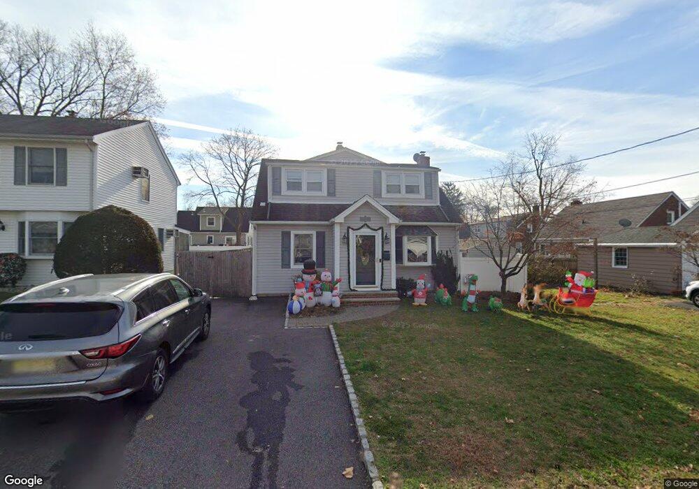
45 Ranger Rd Dumont, NJ 07628
Estimated Value: $762,000 - $786,000
4
Beds
3
Baths
2,019
Sq Ft
$383/Sq Ft
Est. Value
About This Home
This home is located at 45 Ranger Rd, Dumont, NJ 07628 and is currently estimated at $773,312, approximately $383 per square foot. 45 Ranger Rd is a home located in Bergen County with nearby schools including Dumont High School and Institute For Educational Achievement.
Ownership History
Date
Name
Owned For
Owner Type
Purchase Details
Closed on
Apr 30, 2021
Sold by
Spiga Michael and Spiga Amanda
Bought by
Duarte Juan Pablo and Duarte Nathali
Current Estimated Value
Home Financials for this Owner
Home Financials are based on the most recent Mortgage that was taken out on this home.
Original Mortgage
$548,100
Outstanding Balance
$495,154
Interest Rate
2.9%
Mortgage Type
New Conventional
Estimated Equity
$278,158
Purchase Details
Closed on
May 2, 2017
Sold by
Dore Joseph and Dore Tina
Bought by
Spiga Michael and Spiga Amanda
Home Financials for this Owner
Home Financials are based on the most recent Mortgage that was taken out on this home.
Original Mortgage
$424,100
Interest Rate
4.14%
Mortgage Type
New Conventional
Create a Home Valuation Report for This Property
The Home Valuation Report is an in-depth analysis detailing your home's value as well as a comparison with similar homes in the area
Home Values in the Area
Average Home Value in this Area
Purchase History
| Date | Buyer | Sale Price | Title Company |
|---|---|---|---|
| Duarte Juan Pablo | $609,000 | First American Title | |
| Spiga Michael | $455,000 | None Available |
Source: Public Records
Mortgage History
| Date | Status | Borrower | Loan Amount |
|---|---|---|---|
| Open | Duarte Juan Pablo | $548,100 | |
| Previous Owner | Spiga Michael | $424,100 |
Source: Public Records
Tax History
| Year | Tax Paid | Tax Assessment Tax Assessment Total Assessment is a certain percentage of the fair market value that is determined by local assessors to be the total taxable value of land and additions on the property. | Land | Improvement |
|---|---|---|---|---|
| 2025 | $13,475 | $600,000 | $285,000 | $315,000 |
| 2024 | $13,144 | $331,500 | $160,000 | $171,500 |
| 2023 | $12,872 | $331,500 | $160,000 | $171,500 |
| 2022 | $12,872 | $331,500 | $160,000 | $171,500 |
| 2021 | $12,809 | $331,500 | $160,000 | $171,500 |
| 2020 | $12,461 | $331,500 | $160,000 | $171,500 |
| 2019 | $12,163 | $331,500 | $160,000 | $171,500 |
| 2018 | $11,914 | $331,500 | $160,000 | $171,500 |
| 2017 | $11,685 | $331,500 | $160,000 | $171,500 |
| 2016 | $11,414 | $331,500 | $160,000 | $171,500 |
| 2015 | $11,152 | $331,500 | $160,000 | $171,500 |
| 2014 | $10,933 | $331,500 | $160,000 | $171,500 |
Source: Public Records
Map
Nearby Homes
- 19 Bedford Rd
- 144 New Milford Ave
- 211 Bedford Rd
- 496 Prospect Ave
- 502 Prospect Ave
- 627 Concord St
- 592 Fermery Dr
- 95 W Shore Ave
- 16 Seminole Ave
- 201 Dixon Ave
- 158 W Madison Ave
- 28 Park Ave
- 79 Blauvelt Ave
- 112 Oxford Place
- 57 Johnson Ave
- 455 Sunset Ave
- 42 Lenox Ave
- 74 Shadyside Ave
- 40 Depew St
- 9 New York Ave
Your Personal Tour Guide
Ask me questions while you tour the home.