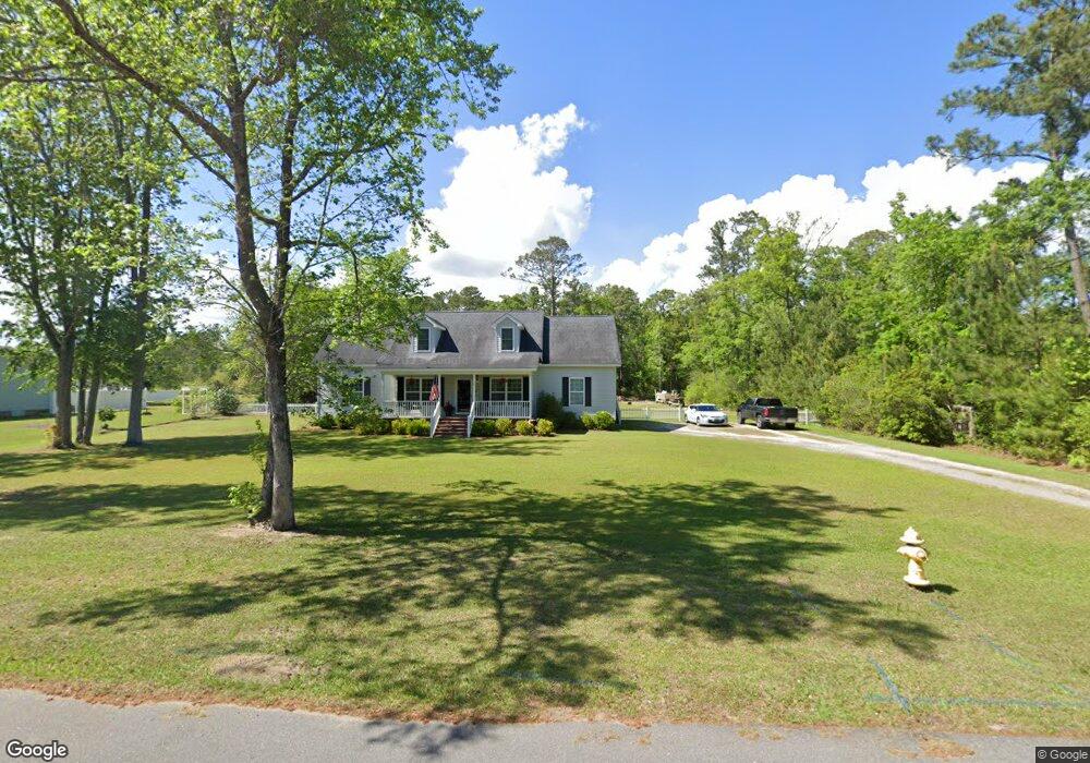
45 Robin Dr Georgetown, SC 29440
Estimated Value: $342,000 - $412,000
Studio
--
Bath
2,394
Sq Ft
$156/Sq Ft
Est. Value
About This Home
This home is located at 45 Robin Dr, Georgetown, SC 29440 and is currently estimated at $374,279, approximately $156 per square foot. 45 Robin Dr is a home located in Georgetown County with nearby schools including Maryville Elementary School, Georgetown Middle School, and Georgetown High School.
Ownership History
Date
Name
Owned For
Owner Type
Purchase Details
Closed on
Dec 28, 2010
Sold by
Welde John L
Bought by
Poston David L
Current Estimated Value
Home Financials for this Owner
Home Financials are based on the most recent Mortgage that was taken out on this home.
Original Mortgage
$32,500
Interest Rate
5%
Mortgage Type
Purchase Money Mortgage
Purchase Details
Closed on
Jun 29, 2010
Sold by
Reuben Goude Llc
Bought by
Welde John L
Create a Home Valuation Report for This Property
The Home Valuation Report is an in-depth analysis detailing your home's value as well as a comparison with similar homes in the area
Purchase History
| Date | Buyer | Sale Price | Title Company |
|---|---|---|---|
| Poston David L | $34,000 | -- | |
| Welde John L | $32,500 | -- |
Source: Public Records
Mortgage History
| Date | Status | Borrower | Loan Amount |
|---|---|---|---|
| Closed | Poston David L | $32,500 |
Source: Public Records
Tax History
| Year | Tax Paid | Tax Assessment Tax Assessment Total Assessment is a certain percentage of the fair market value that is determined by local assessors to be the total taxable value of land and additions on the property. | Land | Improvement |
|---|---|---|---|---|
| 2025 | $1,348 | $9,390 | $1,438 | $7,952 |
| 2024 | $1,348 | $8,165 | $1,136 | $7,029 |
| 2023 | $1,273 | $8,165 | $1,136 | $7,029 |
| 2022 | $1,180 | $8,165 | $1,136 | $7,029 |
| 2021 | $1,148 | $8,165 | $1,136 | $7,029 |
| 2020 | $1,059 | $7,488 | $1,400 | $6,088 |
| 2019 | $1,004 | $7,100 | $1,252 | $5,848 |
| 2018 | $1,025 | $71,000 | $0 | $0 |
| 2017 | $860 | $71,000 | $0 | $0 |
| 2016 | $848 | $7,100 | $0 | $0 |
| 2015 | $846 | $0 | $0 | $0 |
| 2014 | $846 | $180,200 | $34,000 | $146,200 |
| 2012 | -- | $180,200 | $34,000 | $146,200 |
Source: Public Records
Map
Nearby Homes
- 133 Thrush Ct
- 528 George Washington Trail
- 669 George Washington Trail
- 68 Mallard Cir
- 43 Pheasant Loop Unit 304
- 43 Pheasant Loop Unit 302
- 30 Little Point Ln Unit 32
- 27 Pheasant Loop Unit 293
- 117 Finch Dr Unit 272
- 64 Bamboo Loop Unit 161
- 204 Bamboo Loop Unit 202
- 31 Battery White Ct Unit 1005
- 63 Battery White Ct Unit 2005
- 408 Whitehall Ave Unit Lot 626-5B Indigo C
- 825 Commanders Island Rd
- 813 Commanders Island Rd
- Lot 178 Commanders Island Rd
- 159 Commanders Island Rd
- 663 Millbrook Rd Unit Lot 145 Custom Plan
- 719 Daisy Bank Cir
Your Personal Tour Guide
Ask me questions while you tour the home.