45 Robin Ln Bay Shore, NY 11706
Western Fire Island NeighborhoodEstimated Value: $713,900 - $1,360,000
--
Bed
--
Bath
--
Sq Ft
5,663
Sq Ft Lot
About This Home
This home is located at 45 Robin Ln, Bay Shore, NY 11706 and is currently estimated at $1,019,225. 45 Robin Ln is a home located in Suffolk County.
Ownership History
Date
Name
Owned For
Owner Type
Purchase Details
Closed on
Dec 28, 2016
Sold by
Marciante Agnes R
Bought by
Felder Maxwell E and Ryan-Felder Kathleen J
Current Estimated Value
Home Financials for this Owner
Home Financials are based on the most recent Mortgage that was taken out on this home.
Original Mortgage
$63,000
Outstanding Balance
$51,985
Interest Rate
4.08%
Mortgage Type
Credit Line Revolving
Estimated Equity
$967,240
Purchase Details
Closed on
Oct 5, 2015
Sold by
Marciante Agnes R
Bought by
Marciante Agnes R and Agnes R Marciante Trust
Purchase Details
Closed on
Dec 15, 2011
Sold by
Marciante Agnes R and Marciante Stephen
Bought by
Marciante Agnes R and Agnes R Marciante Trust
Create a Home Valuation Report for This Property
The Home Valuation Report is an in-depth analysis detailing your home's value as well as a comparison with similar homes in the area
Home Values in the Area
Average Home Value in this Area
Purchase History
| Date | Buyer | Sale Price | Title Company |
|---|---|---|---|
| Felder Maxwell E | $600,000 | None Available | |
| Marciante Agnes R | -- | Safe Harbor Title Agency Ltd | |
| Marciante Agnes R | -- | -- |
Source: Public Records
Mortgage History
| Date | Status | Borrower | Loan Amount |
|---|---|---|---|
| Open | Felder Maxwell E | $63,000 | |
| Open | Felder Maxwell E | $417,000 |
Source: Public Records
Tax History Compared to Growth
Tax History
| Year | Tax Paid | Tax Assessment Tax Assessment Total Assessment is a certain percentage of the fair market value that is determined by local assessors to be the total taxable value of land and additions on the property. | Land | Improvement |
|---|---|---|---|---|
| 2024 | $4,748 | $55,500 | $15,200 | $40,300 |
| 2023 | $4,748 | $55,500 | $15,200 | $40,300 |
| 2022 | $4,390 | $55,500 | $15,200 | $40,300 |
| 2021 | $4,390 | $55,500 | $15,200 | $40,300 |
| 2020 | $4,385 | $55,500 | $15,200 | $40,300 |
| 2019 | $4,390 | $55,500 | $15,200 | $40,300 |
| 2018 | -- | $55,500 | $15,200 | $40,300 |
| 2017 | $4,367 | $55,500 | $15,200 | $40,300 |
| 2016 | $4,289 | $55,500 | $15,200 | $40,300 |
| 2015 | -- | $55,500 | $15,200 | $40,300 |
| 2014 | -- | $55,500 | $15,200 | $40,300 |
Source: Public Records
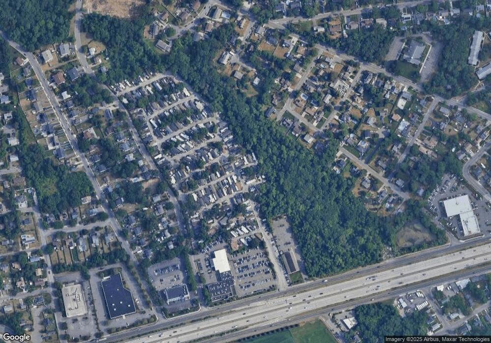
Map
Nearby Homes
- 206 Bay Walk
- 917 E End Walk
- 25 5th Ave
- 39 Sloop Walk
- 329 Bay Walk
- 319 Wilmot Rd
- 165 Bay Walk
- 125 Ocean Rd
- 108 Ocean Rd
- 22 Bungalow Walk
- 24 Bungalow Walk
- 291 Cottage Walk
- 510 Bayberry Walk
- 485 Bayberry Walk
- 597 Bayberry Walk
- 748 Ocean Breeze
- 919 Evergreen Walk
- 976 Surfview Walk
- 987 Surfview Walk
- 12 Surfview Walk