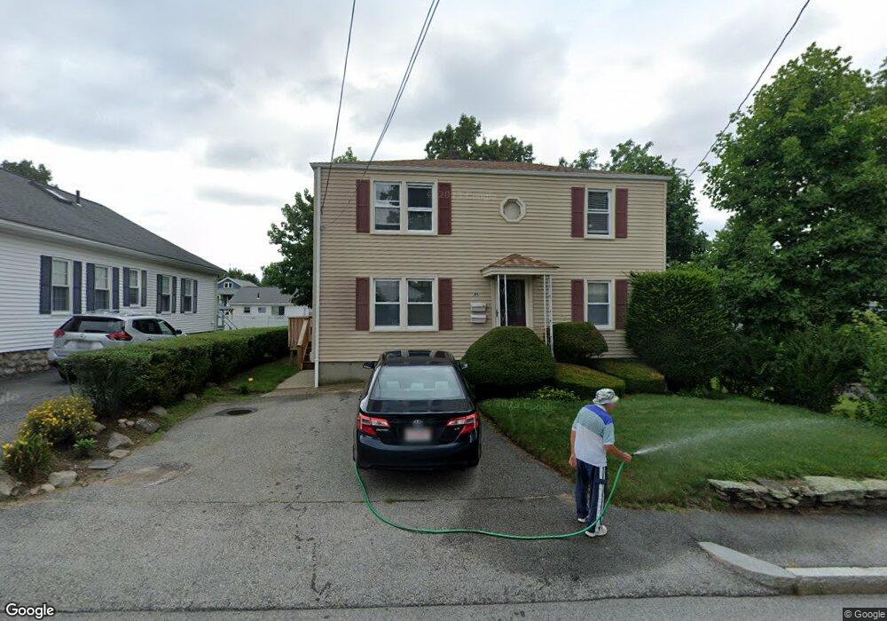
45 Rollinson Rd Worcester, MA 01606
Burncoat NeighborhoodEstimated Value: $425,236 - $580,000
4
Beds
2
Baths
1,536
Sq Ft
$323/Sq Ft
Est. Value
About This Home
This home is located at 45 Rollinson Rd, Worcester, MA 01606 and is currently estimated at $496,309, approximately $323 per square foot. 45 Rollinson Rd is a home located in Worcester County with nearby schools including Belmont Street Community School, Jacob Hiatt Magnet School, and Chandler Magnet.
Ownership History
Date
Name
Owned For
Owner Type
Purchase Details
Closed on
Nov 1, 2000
Sold by
Hajos Gabor R
Bought by
Quist David R and Quist Jo Anne K
Current Estimated Value
Purchase Details
Closed on
Jan 31, 1992
Sold by
Dyer Martin
Bought by
Hajos Gabor
Create a Home Valuation Report for This Property
The Home Valuation Report is an in-depth analysis detailing your home's value as well as a comparison with similar homes in the area
Home Values in the Area
Average Home Value in this Area
Purchase History
| Date | Buyer | Sale Price | Title Company |
|---|---|---|---|
| Quist David R | $144,900 | -- | |
| Hajos Gabor | $121,000 | -- |
Source: Public Records
Mortgage History
| Date | Status | Borrower | Loan Amount |
|---|---|---|---|
| Open | Hajos Gabor | $128,000 | |
| Closed | Hajos Gabor | $115,000 | |
| Closed | Hajos Gabor | $115,920 |
Source: Public Records
Tax History
| Year | Tax Paid | Tax Assessment Tax Assessment Total Assessment is a certain percentage of the fair market value that is determined by local assessors to be the total taxable value of land and additions on the property. | Land | Improvement |
|---|---|---|---|---|
| 2025 | $4,998 | $378,900 | $90,800 | $288,100 |
| 2024 | $4,923 | $358,000 | $90,800 | $267,200 |
| 2023 | $4,599 | $320,700 | $79,000 | $241,700 |
| 2022 | $4,227 | $277,900 | $63,200 | $214,700 |
| 2021 | $3,756 | $230,700 | $50,600 | $180,100 |
| 2020 | $3,539 | $208,200 | $50,600 | $157,600 |
| 2019 | $3,548 | $197,100 | $45,500 | $151,600 |
| 2018 | $3,483 | $184,200 | $45,500 | $138,700 |
| 2017 | $3,329 | $173,200 | $45,500 | $127,700 |
| 2016 | $3,291 | $159,700 | $34,100 | $125,600 |
| 2015 | $3,205 | $159,700 | $34,100 | $125,600 |
| 2014 | $3,121 | $159,700 | $34,100 | $125,600 |
Source: Public Records
Map
Nearby Homes
- 66 Eunice Ave
- 13 Fatima Ln
- 331 Burncoat St
- 323 Burncoat St
- 53 Collins St
- 30 Danielles Way
- 58 Osceola Ave
- 169 Whitmarsh Ave
- 39 Whitmarsh Ave
- 3205 Halcyon Dr Unit 3205
- 69 Santoro Rd
- 10 Beale St
- 12 Beale St
- 12 Erie Ave
- 71 Hillside Village Dr
- 15 Ericsson St
- 39 Mountainshire Dr
- 1110 W Boylston St Unit A
- 31 Danielles Way
- 156 Hillside Village Dr
- 43 Rollinson Rd
- 53 Rollinson Rd
- 38 Arbutus Rd
- 36 Arbutus Rd
- 41 Rollinson Rd
- 89 Quinapoxet Ln
- 44 Rollinson Rd
- 40 Arbutus Rd
- 34 Arbutus Rd
- 40 Rollinson Rd
- 39 Rollinson Rd
- 101 Quinapoxet Ln
- 32 Arbutus Rd
- 85 Quinapoxet Ln
- 36 Rollinson Rd
- 37 Rollinson Rd
- 39 Arbutus Rd
- 30 Arbutus Rd
- 37 Arbutus Rd
- 92 Quinapoxet Ln
Your Personal Tour Guide
Ask me questions while you tour the home.