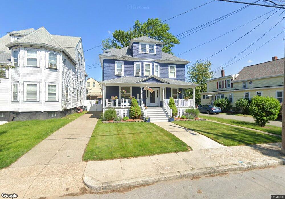
45 Sargent St Winthrop, MA 02152
Court Park NeighborhoodEstimated Value: $931,000 - $1,098,000
5
Beds
2
Baths
2,087
Sq Ft
$483/Sq Ft
Est. Value
About This Home
This home is located at 45 Sargent St, Winthrop, MA 02152 and is currently estimated at $1,009,021, approximately $483 per square foot. 45 Sargent St is a home located in Suffolk County with nearby schools including William P. Gorman/Fort Banks Elementary School, Arthur T. Cummings Elementary School, and Winthrop Middle School.
Ownership History
Date
Name
Owned For
Owner Type
Purchase Details
Closed on
Dec 29, 2003
Sold by
Hamwey Jennifer and Hamwey Joseph
Bought by
Sullivan Anne L and Sullivan Christopher
Current Estimated Value
Purchase Details
Closed on
May 30, 2001
Sold by
Fagone John J
Bought by
Hamwey Jennifer
Purchase Details
Closed on
Sep 24, 1996
Sold by
Campbell Nancy Ann
Bought by
Fagone John J
Create a Home Valuation Report for This Property
The Home Valuation Report is an in-depth analysis detailing your home's value as well as a comparison with similar homes in the area
Home Values in the Area
Average Home Value in this Area
Purchase History
| Date | Buyer | Sale Price | Title Company |
|---|---|---|---|
| Sullivan Anne L | $511,000 | -- | |
| Hamwey Jennifer | $345,000 | -- | |
| Fagone John J | $160,000 | -- |
Source: Public Records
Mortgage History
| Date | Status | Borrower | Loan Amount |
|---|---|---|---|
| Open | Fagone John J | $203,000 | |
| Closed | Fagone John J | $58,700 |
Source: Public Records
Tax History Compared to Growth
Tax History
| Year | Tax Paid | Tax Assessment Tax Assessment Total Assessment is a certain percentage of the fair market value that is determined by local assessors to be the total taxable value of land and additions on the property. | Land | Improvement |
|---|---|---|---|---|
| 2025 | $8,260 | $800,400 | $437,700 | $362,700 |
| 2024 | $8,492 | $815,000 | $420,700 | $394,300 |
| 2023 | $7,804 | $729,300 | $385,100 | $344,200 |
| 2022 | $7,531 | $640,400 | $343,900 | $296,500 |
| 2021 | $7,553 | $595,700 | $307,100 | $288,600 |
| 2020 | $7,518 | $595,700 | $307,100 | $288,600 |
| 2019 | $7,353 | $557,900 | $283,000 | $274,900 |
| 2018 | $7,139 | $504,200 | $242,900 | $261,300 |
| 2017 | $6,816 | $473,000 | $231,700 | $241,300 |
| 2016 | $6,717 | $437,000 | $201,500 | $235,500 |
| 2015 | $6,097 | $425,200 | $195,600 | $229,600 |
| 2014 | $5,620 | $360,700 | $150,500 | $210,200 |
Source: Public Records
Map
Nearby Homes
- 105 Circuit Rd
- 62 Lowell Rd
- 66 Lowell Rd
- 47 Bellevue Ave
- 191 Court Rd Unit 3
- 170 Cottage Park Rd
- 35 Somerset Ave Unit 6
- 191 Cottage Park Rd
- 10 Somerset Ave Unit 405
- 10 Somerset Ave Unit 403
- 10 Somerset Ave Unit 404
- 10 Somerset Ave Unit 408
- 10 Somerset Ave Unit 201
- 10 Somerset Ave Unit 211
- 10 Somerset Ave Unit 206
- 142 Pleasant St Unit 12
- 142 Pleasant St Unit 2
- 220 Woodside Ave Unit 1
- 34 Fremont St
- 92 Plummer Ave
- 51 Sargent St
- 37 Sargent St
- 55 Sargent St
- 42 Sargent St
- 48 Sargent St
- 52 Sargent St
- 31 Sargent St
- 36 Sargent St
- 36 Sargent St Unit 2
- 61 Sargent St
- 124 Circuit Rd
- 124 Circuit Rd Unit 1
- 124 Circuit Rd Unit 2
- 30 Sargent St
- 130 Circuit Rd
- 130 Circuit Rd Unit 2
- 130 Circuit Rd Unit 1
- 120 Circuit Rd
- 25 Sargent St
- 134 Circuit Rd