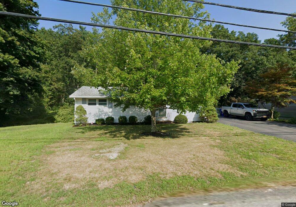
45 Scadding St Taunton, MA 02780
Prospect Hill NeighborhoodEstimated Value: $367,906 - $433,000
3
Beds
1
Bath
968
Sq Ft
$418/Sq Ft
Est. Value
About This Home
This home is located at 45 Scadding St, Taunton, MA 02780 and is currently estimated at $404,227, approximately $417 per square foot. 45 Scadding St is a home located in Bristol County with nearby schools including Hopewell, Benjamin Friedman Middle School, and Taunton High School.
Ownership History
Date
Name
Owned For
Owner Type
Purchase Details
Closed on
Aug 22, 2023
Sold by
Dunn George M
Bought by
George Dunn Sr Lt and Dunn
Current Estimated Value
Purchase Details
Closed on
Apr 19, 2021
Sold by
Dunn Alice and Dunn George
Bought by
George Dunn St Lt and Dunn
Purchase Details
Closed on
Sep 24, 2020
Sold by
Dunn George M and Dunn Susanne M
Bought by
George Dunn Sr Lt and Dunn
Create a Home Valuation Report for This Property
The Home Valuation Report is an in-depth analysis detailing your home's value as well as a comparison with similar homes in the area
Home Values in the Area
Average Home Value in this Area
Purchase History
| Date | Buyer | Sale Price | Title Company |
|---|---|---|---|
| George Dunn Sr Lt | -- | None Available | |
| George Dunn St Lt | -- | None Available | |
| George Dunn Sr Lt | -- | None Available |
Source: Public Records
Tax History
| Year | Tax Paid | Tax Assessment Tax Assessment Total Assessment is a certain percentage of the fair market value that is determined by local assessors to be the total taxable value of land and additions on the property. | Land | Improvement |
|---|---|---|---|---|
| 2025 | $3,821 | $349,300 | $107,000 | $242,300 |
| 2024 | $3,562 | $318,300 | $107,000 | $211,300 |
| 2023 | $3,546 | $294,300 | $111,800 | $182,500 |
| 2022 | $3,295 | $250,000 | $86,700 | $163,300 |
| 2021 | $3,125 | $220,100 | $78,800 | $141,300 |
| 2020 | $3,086 | $207,700 | $78,800 | $128,900 |
| 2019 | $167 | $204,400 | $78,800 | $125,600 |
| 2018 | $2,959 | $188,200 | $78,800 | $109,400 |
| 2017 | $155 | $181,300 | $74,700 | $106,600 |
| 2016 | $2,744 | $175,000 | $72,500 | $102,500 |
| 2015 | $2,654 | $176,800 | $73,000 | $103,800 |
| 2014 | $2,504 | $171,400 | $70,400 | $101,000 |
Source: Public Records
Map
Nearby Homes
- 41 Scadding St
- 68 Sabbatia Ln
- 930 Bay St
- 191 Red Oak Terrace
- 0 Montclair Ave Unit 72130752
- 2 Bassett St
- 19 Abbey Ln
- 170 Lake Ridge Dr
- 563 Whittenton St
- 0 Whittenton St
- 10 Johnny Mac Way Unit B
- 28 Cottage St
- 34 Warren St
- 1 Elizabeth St
- 13 Daisy Ave
- 9 Valley Forge Rd
- 17 Green St
- 5 Green St
- 193 Fremont St
- 11 Settlers Rd
- 11 Hillside Dr
- 46 Scadding St
- 43 Scadding St
- 73 Scadding St
- 42 Scadding St
- 50 Scadding St
- 0 Hillside Dr
- 52 Scadding St
- 77 Scadding St
- 60 Prospect Hill St
- 15 Hillside Dr
- 18 Hillside Dr
- 39 Scadding St
- 26 Cliff Dr Unit B
- 26 Cliff Dr Unit A
- 26 Cliff Dr Unit 26A
- 26A Cliff Dr Unit 26 A
- 21 Cliff Dr Unit B
- 21 Cliff Dr Unit A
- 54 Scadding St
Your Personal Tour Guide
Ask me questions while you tour the home.