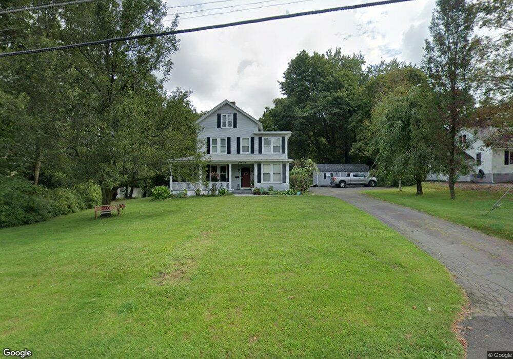
45 Scott Ave Watertown, CT 06795
Estimated Value: $438,911 - $518,000
5
Beds
2
Baths
2,574
Sq Ft
$187/Sq Ft
Est. Value
About This Home
This home is located at 45 Scott Ave, Watertown, CT 06795 and is currently estimated at $480,728, approximately $186 per square foot. 45 Scott Ave is a home located in Litchfield County with nearby schools including John Trumbull Primary School, Swift Middle School, and Watertown High School.
Ownership History
Date
Name
Owned For
Owner Type
Purchase Details
Closed on
Apr 19, 2004
Sold by
Citifinancial
Bought by
Maihot Philip and Maihot Colleen
Current Estimated Value
Home Financials for this Owner
Home Financials are based on the most recent Mortgage that was taken out on this home.
Original Mortgage
$170,905
Outstanding Balance
$76,292
Interest Rate
5.58%
Mortgage Type
Purchase Money Mortgage
Estimated Equity
$404,436
Purchase Details
Closed on
Apr 7, 1989
Sold by
Obrien Edw
Bought by
Perrin Mark
Create a Home Valuation Report for This Property
The Home Valuation Report is an in-depth analysis detailing your home's value as well as a comparison with similar homes in the area
Home Values in the Area
Average Home Value in this Area
Purchase History
| Date | Buyer | Sale Price | Title Company |
|---|---|---|---|
| Maihot Philip | $179,900 | -- | |
| Perrin Mark | $187,000 | -- |
Source: Public Records
Mortgage History
| Date | Status | Borrower | Loan Amount |
|---|---|---|---|
| Open | Perrin Mark | $50,000 | |
| Open | Perrin Mark | $170,905 | |
| Previous Owner | Perrin Mark | $182,704 |
Source: Public Records
Tax History
| Year | Tax Paid | Tax Assessment Tax Assessment Total Assessment is a certain percentage of the fair market value that is determined by local assessors to be the total taxable value of land and additions on the property. | Land | Improvement |
|---|---|---|---|---|
| 2025 | $7,907 | $263,200 | $55,440 | $207,760 |
| 2024 | $7,467 | $263,200 | $55,440 | $207,760 |
| 2023 | $6,270 | $170,100 | $55,800 | $114,300 |
| 2022 | $5,811 | $166,300 | $55,800 | $110,500 |
| 2021 | $5,747 | $166,300 | $55,800 | $110,500 |
| 2020 | $5,519 | $166,300 | $55,800 | $110,500 |
| 2019 | $5,519 | $166,300 | $55,800 | $110,500 |
| 2018 | $5,599 | $166,700 | $60,400 | $106,300 |
| 2017 | $5,314 | $166,700 | $60,400 | $106,300 |
| 2016 | $5,149 | $166,700 | $60,400 | $106,300 |
| 2015 | $5,018 | $166,700 | $60,400 | $106,300 |
| 2014 | $4,854 | $166,700 | $60,400 | $106,300 |
Source: Public Records
Map
Nearby Homes
- 0 French St Unit 170375652
- 97 Orchard Ln
- 429 Main St
- 29 Cannon Ridge Dr
- 45 Westbury Park Rd
- 156 Hamilton Ave
- 55 Cannon Ridge Dr
- 99 Cannon Ridge Dr Unit 99
- 58 Steele Brook Rd
- 243 Echo Lake Rd Unit B-9
- 243 Echo Lake Rd Unit B-10
- 22 Hamilton Ln
- 245 Cherry Ave Unit I12
- 365 Woodbury Rd
- 0 Litchfield Rd Unit 24148536
- 417 Hamilton Ave
- 237 North St
- 87 Litchfield Rd
- 42 Wentworth Ct Unit 11
- 65 Turnberry Ct Unit 15
Your Personal Tour Guide
Ask me questions while you tour the home.