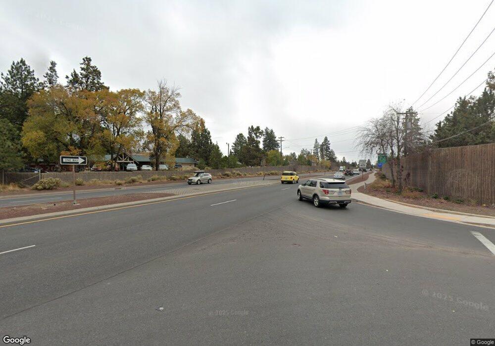
45 SE Truman Ave Bend, OR 97702
Southern Crossing NeighborhoodEstimated Value: $634,000 - $788,000
2
Beds
3
Baths
1,400
Sq Ft
$520/Sq Ft
Est. Value
About This Home
This home is located at 45 SE Truman Ave, Bend, OR 97702 and is currently estimated at $728,216, approximately $520 per square foot. 45 SE Truman Ave is a home located in Deschutes County with nearby schools including Pine Ridge Elementary School, Cascade Middle School, and Bend Senior High School.
Ownership History
Date
Name
Owned For
Owner Type
Purchase Details
Closed on
Feb 23, 2007
Sold by
Mascord Alan and Mascord Donna
Bought by
Entrust Chicago Llc and Edward Torcom Ira #24452
Current Estimated Value
Purchase Details
Closed on
May 9, 2005
Sold by
Kerr Jerry M and Kerr Kelley M
Bought by
Mascord Alan and Mascord Donna
Home Financials for this Owner
Home Financials are based on the most recent Mortgage that was taken out on this home.
Original Mortgage
$200,000
Interest Rate
6.02%
Mortgage Type
Fannie Mae Freddie Mac
Create a Home Valuation Report for This Property
The Home Valuation Report is an in-depth analysis detailing your home's value as well as a comparison with similar homes in the area
Home Values in the Area
Average Home Value in this Area
Purchase History
| Date | Buyer | Sale Price | Title Company |
|---|---|---|---|
| Entrust Chicago Llc | $342,000 | First Amer Title Ins Co Or | |
| Mascord Alan | $260,000 | First Amer Title Ins Co Or |
Source: Public Records
Mortgage History
| Date | Status | Borrower | Loan Amount |
|---|---|---|---|
| Previous Owner | Mascord Alan | $200,000 |
Source: Public Records
Tax History Compared to Growth
Tax History
| Year | Tax Paid | Tax Assessment Tax Assessment Total Assessment is a certain percentage of the fair market value that is determined by local assessors to be the total taxable value of land and additions on the property. | Land | Improvement |
|---|---|---|---|---|
| 2025 | $4,817 | $285,100 | -- | -- |
| 2024 | $4,635 | $276,800 | -- | -- |
| 2023 | $4,296 | $268,740 | $0 | $0 |
| 2022 | $4,008 | $253,330 | $0 | $0 |
| 2021 | $4,015 | $245,960 | $0 | $0 |
| 2020 | $3,809 | $245,960 | $0 | $0 |
| 2019 | $3,703 | $238,800 | $0 | $0 |
| 2018 | $3,598 | $231,850 | $0 | $0 |
| 2017 | $3,493 | $225,100 | $0 | $0 |
| 2016 | $3,331 | $218,550 | $0 | $0 |
| 2015 | $3,239 | $212,190 | $0 | $0 |
| 2014 | $3,143 | $206,010 | $0 | $0 |
Source: Public Records
Map
Nearby Homes
- 624 SW Hill St
- 757 SW Pelton Place Unit 7
- 8 SW Mckinley Ave
- 977 SW Hill St
- 195 SE Roosevelt Ave
- 334 SW Roosevelt Ave Unit 3
- 1063 SW Crosscut Ct
- 530 SE 3rd St
- 363 SW Bluff Dr Unit 103
- 211 SW Log Ct
- 205 SW Log Ct
- 274 SW Bluff Dr
- 291 SW Bluff Dr Unit 210
- 617 SW Peak View Place
- 477 SE Roosevelt Ave
- 501 SE Wilson Ave
- 1175 SW Chamberlain St
- 892 SW Theater Dr
- 1217 SW Tanner Ct
- 322 SE 5th St
- 45 SW Truman Ave
- 39 SW Truman Ave
- 606 SW Hill St
- 33 SE Truman Ave
- 33 SW Truman Ave
- 612 SW Hill St
- 605 SW Pelton Place
- 618 SW Hill St
- 42 SW Taft Ave
- 36 SW Taft Ave
- 36 SW Taft Ave Unit 10
- 48 SW Taft Ave
- 30 SW Taft Ave
- 54 SW Taft Ave
- 8 SW Taft Ave
- 630 SW Hill St
- 10 SW Taft Ave
- 24 SW Taft Ave
- 60 SW Taft Ave
- 631 SW Pelton Place
