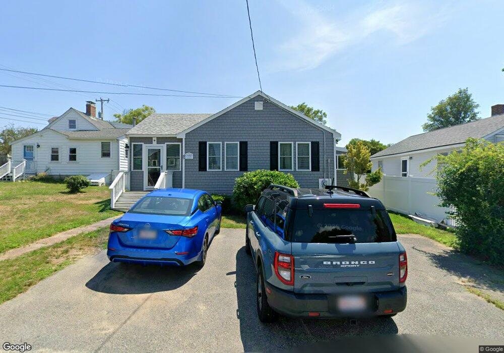
45 Sekonnet Ave Marshfield, MA 02050
Ocean Bluff-Brant Rock NeighborhoodEstimated Value: $583,000 - $693,000
3
Beds
1
Bath
840
Sq Ft
$740/Sq Ft
Est. Value
About This Home
This home is located at 45 Sekonnet Ave, Marshfield, MA 02050 and is currently estimated at $621,651, approximately $740 per square foot. 45 Sekonnet Ave is a home located in Plymouth County with nearby schools including Governor Edward Winslow School, Furnace Brook Middle School, and Marshfield High School.
Ownership History
Date
Name
Owned For
Owner Type
Purchase Details
Closed on
Jun 15, 2000
Sold by
Mahoney Melissa A and Mahoney Kjeld J
Bought by
Fahey Richard F and Fahey Brenda E
Current Estimated Value
Home Financials for this Owner
Home Financials are based on the most recent Mortgage that was taken out on this home.
Original Mortgage
$165,292
Outstanding Balance
$58,355
Interest Rate
8.24%
Mortgage Type
Purchase Money Mortgage
Estimated Equity
$563,296
Create a Home Valuation Report for This Property
The Home Valuation Report is an in-depth analysis detailing your home's value as well as a comparison with similar homes in the area
Home Values in the Area
Average Home Value in this Area
Purchase History
| Date | Buyer | Sale Price | Title Company |
|---|---|---|---|
| Fahey Richard F | $171,000 | -- | |
| Fahey Richard F | $171,000 | -- |
Source: Public Records
Mortgage History
| Date | Status | Borrower | Loan Amount |
|---|---|---|---|
| Open | Fahey Richard F | $165,292 | |
| Closed | Fahey Richard F | $165,292 |
Source: Public Records
Tax History
| Year | Tax Paid | Tax Assessment Tax Assessment Total Assessment is a certain percentage of the fair market value that is determined by local assessors to be the total taxable value of land and additions on the property. | Land | Improvement |
|---|---|---|---|---|
| 2025 | $5,251 | $530,400 | $378,100 | $152,300 |
| 2024 | $5,147 | $495,400 | $358,200 | $137,200 |
| 2023 | $4,575 | $433,200 | $310,500 | $122,700 |
| 2022 | $4,575 | $353,300 | $248,800 | $104,500 |
| 2021 | $4,565 | $346,100 | $248,800 | $97,300 |
| 2020 | $4,592 | $344,500 | $248,800 | $95,700 |
| 2019 | $4,492 | $335,700 | $248,800 | $86,900 |
| 2018 | $3,924 | $293,500 | $209,000 | $84,500 |
| 2017 | $3,966 | $289,100 | $209,000 | $80,100 |
| 2016 | $3,925 | $282,800 | $209,000 | $73,800 |
| 2015 | $3,531 | $265,700 | $199,000 | $66,700 |
| 2014 | $3,631 | $273,200 | $209,000 | $64,200 |
Source: Public Records
Map
Nearby Homes
- 255 Plymouth Ave
- 49 Sekonnet Ave
- 48 Satucket Ave
- 52 Satucket Ave
- 33 Sekonnet Ave
- 265 Plymouth Ave
- 44 Sekonnet Ave
- 51 Sekonnet Ave
- 50 Sekonnet Ave
- 56 Satucket Ave
- 34 Satucket Ave
- 29 Sekonnet Ave
- 271 Plymouth Ave
- 30 Satucket Ave
- 266 Plymouth Ave
- 25 Sekonnet Ave
- 63 Sekonnet Ave
- 26 Satucket Ave
- 33 Seminole Ave
- 26 Sekonnet Ave
Your Personal Tour Guide
Ask me questions while you tour the home.