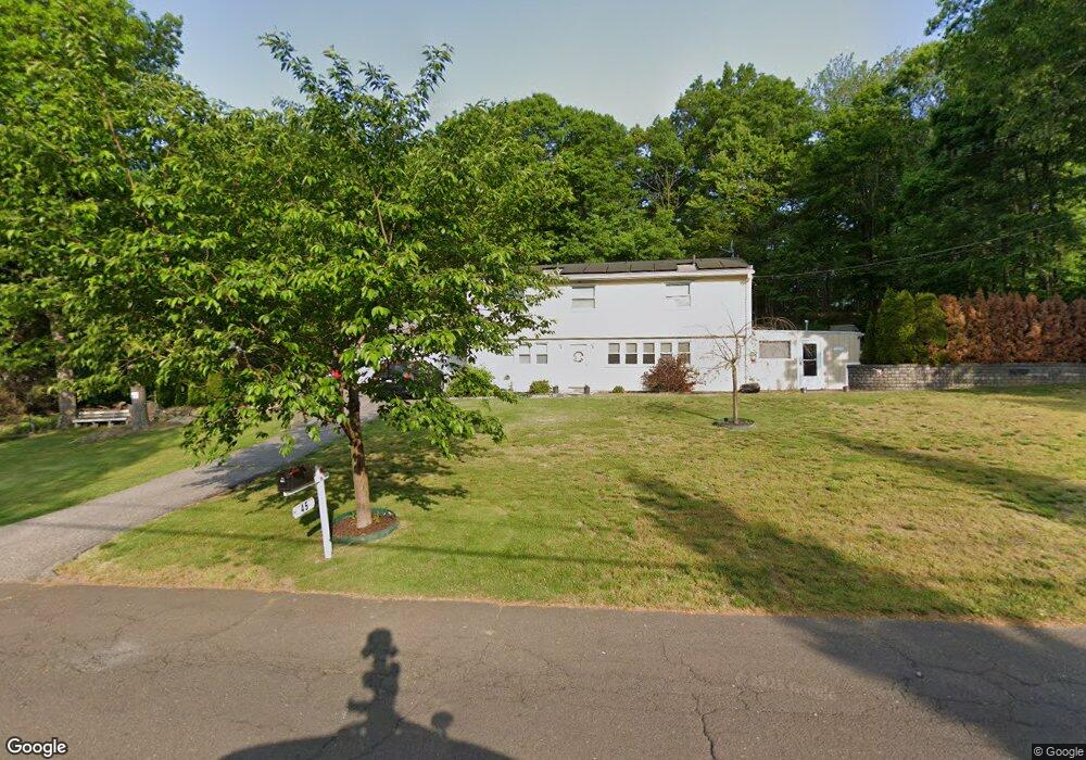
45 Shawnee Rd Trumbull, CT 06611
Trumbull Center NeighborhoodEstimated Value: $497,000 - $585,688
3
Beds
2
Baths
1,000
Sq Ft
$540/Sq Ft
Est. Value
About This Home
This home is located at 45 Shawnee Rd, Trumbull, CT 06611 and is currently estimated at $540,422, approximately $540 per square foot. 45 Shawnee Rd is a home located in Fairfield County with nearby schools including Booth Hill School, Hillcrest Middle School, and Trumbull High School.
Ownership History
Date
Name
Owned For
Owner Type
Purchase Details
Closed on
Dec 8, 2010
Sold by
Dias Alberto
Bought by
Dias Carlos A and Dias Kara L
Current Estimated Value
Home Financials for this Owner
Home Financials are based on the most recent Mortgage that was taken out on this home.
Original Mortgage
$111,000
Interest Rate
4.24%
Purchase Details
Closed on
Mar 1, 2004
Sold by
Levesque Paul N and Levesque Theresa A
Bought by
Dias Carlos A and Dias Kara L
Purchase Details
Closed on
Aug 19, 1998
Sold by
Mingey Antoinette
Bought by
Levesque Paul N and Levesque Normand P
Create a Home Valuation Report for This Property
The Home Valuation Report is an in-depth analysis detailing your home's value as well as a comparison with similar homes in the area
Home Values in the Area
Average Home Value in this Area
Purchase History
| Date | Buyer | Sale Price | Title Company |
|---|---|---|---|
| Dias Carlos A | -- | -- | |
| Dias Carlos A | $335,000 | -- | |
| Levesque Paul N | $190,000 | -- |
Source: Public Records
Mortgage History
| Date | Status | Borrower | Loan Amount |
|---|---|---|---|
| Open | Levesque Paul N | $100,000 | |
| Closed | Levesque Paul N | $111,000 | |
| Previous Owner | Levesque Paul N | $45,399 |
Source: Public Records
Tax History Compared to Growth
Tax History
| Year | Tax Paid | Tax Assessment Tax Assessment Total Assessment is a certain percentage of the fair market value that is determined by local assessors to be the total taxable value of land and additions on the property. | Land | Improvement |
|---|---|---|---|---|
| 2025 | $9,058 | $245,350 | $161,980 | $83,370 |
| 2024 | $8,811 | $245,350 | $161,980 | $83,370 |
| 2023 | $8,668 | $245,350 | $161,980 | $83,370 |
| 2022 | $8,530 | $245,350 | $161,980 | $83,370 |
| 2021 | $7,222 | $197,610 | $120,330 | $77,280 |
| 2020 | $7,084 | $197,610 | $120,330 | $77,280 |
| 2018 | $6,909 | $197,610 | $120,330 | $77,280 |
| 2017 | $6,770 | $197,610 | $120,330 | $77,280 |
| 2016 | $6,634 | $197,610 | $120,330 | $77,280 |
| 2015 | $6,745 | $198,600 | $120,300 | $78,300 |
| 2014 | $6,600 | $198,600 | $120,300 | $78,300 |
Source: Public Records
Map
Nearby Homes
- 1 Village Dr
- 401 Unity Rd
- 121 Paugusett Cir
- 40 Puritan Rd
- 877 White Plains Rd
- 8 Hawthorne Ridge Cir
- 0 Lot #4 & Lot #5 W Mischa Rd Unit 24138429
- 58 Daniels Farm Rd
- 546 Church Hill Rd
- 11 Knollcrest Dr
- 32 Marshall Ave
- 0 Pinewood Trail
- 755 Old Town Rd
- 36 Craig Ln
- 375 Silver St
- 69 Glen Cir
- 1800 Chopsey Hill Rd
- 123 Beverly Dr
- Lot 31 Valley View Rd
- 43 Woodmere Dr