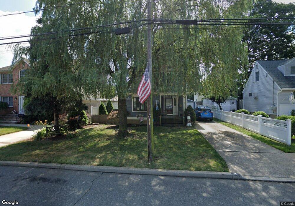
45 Sherman St Merrick, NY 11566
Estimated Value: $750,056 - $853,000
Studio
2
Baths
1,796
Sq Ft
$446/Sq Ft
Est. Value
About This Home
This home is located at 45 Sherman St, Merrick, NY 11566 and is currently estimated at $801,528, approximately $446 per square foot. 45 Sherman St is a home located in Nassau County with nearby schools including Merrick Avenue Middle School, Sanford H Calhoun High School, and Grace Christian Academy.
Ownership History
Date
Name
Owned For
Owner Type
Purchase Details
Closed on
Feb 7, 2024
Sold by
Safrath Anne W
Bought by
Safrath Anne W and Safrath Bernadette Anne
Current Estimated Value
Home Financials for this Owner
Home Financials are based on the most recent Mortgage that was taken out on this home.
Original Mortgage
$125,000
Outstanding Balance
$122,531
Interest Rate
6.72%
Mortgage Type
Stand Alone Second
Estimated Equity
$678,997
Purchase Details
Closed on
Jun 28, 2002
Sold by
Dicarlo Dennis
Bought by
Safrath Anne
Create a Home Valuation Report for This Property
The Home Valuation Report is an in-depth analysis detailing your home's value as well as a comparison with similar homes in the area
Home Values in the Area
Average Home Value in this Area
Purchase History
| Date | Buyer | Sale Price | Title Company |
|---|---|---|---|
| Safrath Anne W | -- | None Available | |
| Safrath Anne W | -- | None Available | |
| Safrath Anne W | -- | None Available | |
| Safrath Anne W | -- | None Available | |
| Safrath Anne | $415,000 | -- | |
| Safrath Anne | $415,000 | -- |
Source: Public Records
Mortgage History
| Date | Status | Borrower | Loan Amount |
|---|---|---|---|
| Open | Safrath Anne W | $125,000 | |
| Closed | Safrath Anne W | $125,000 |
Source: Public Records
Tax History
| Year | Tax Paid | Tax Assessment Tax Assessment Total Assessment is a certain percentage of the fair market value that is determined by local assessors to be the total taxable value of land and additions on the property. | Land | Improvement |
|---|---|---|---|---|
| 2025 | $14,387 | $510 | $184 | $326 |
| 2024 | $3,751 | $531 | $192 | $339 |
| 2023 | $13,738 | $532 | $193 | $339 |
| 2022 | $13,738 | $531 | $192 | $339 |
| 2021 | $18,740 | $536 | $194 | $342 |
| 2020 | $14,583 | $812 | $423 | $389 |
| 2019 | $13,962 | $1,070 | $558 | $512 |
| 2018 | $17,632 | $1,070 | $0 | $0 |
| 2017 | $10,886 | $1,070 | $558 | $512 |
| 2016 | $15,465 | $1,070 | $558 | $512 |
| 2015 | $4,246 | $1,070 | $558 | $512 |
| 2014 | $4,246 | $1,070 | $558 | $512 |
| 2013 | $4,018 | $1,070 | $558 | $512 |
Source: Public Records
Map
Nearby Homes
- 1931 Miller Place
- 1911 Carroll Ave
- 2203 Washington St
- 221 Thelma Ave
- 236 Thelma Ave
- 1811 Bedford Ave
- 24 Loines Ave
- 160 Bedford Ave
- 29 Babylon Turnpike
- 19 Margaret Blvd
- 1729 Gormley Ave
- 138 Hewlett Ave
- 1741 Bushwick Ave
- 132 Webster St
- 131 Gregory Ave
- 2 Garfield St
- 1772 Rose St
- 1715 Remson Ave
- 80 Dobson Ave
- 2341 Dobson Ave
- 2054 Sherman St
- 126 Washington St
- 57 Sherman St
- 2070 Sherman St
- 2049 Washington St
- 122 Washington St
- 2059 Sherman St
- 63 Sherman St
- 2067 Washington St
- 44 Sherman St
- 138 Washington St
- 20 Sherman St
- 37 Sherman St
- 38 Sherman St
- 69 Sherman St
- 2073 Washington St
- 36 Sherman St
- 2035 Washington St
- 33 Sherman St
- 75 Sherman St
Your Personal Tour Guide
Ask me questions while you tour the home.