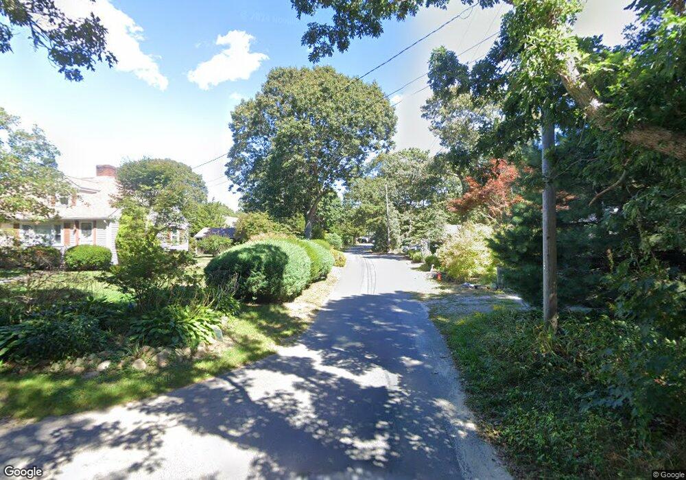
45 South Rd West Yarmouth, MA 02673
Estimated Value: $1,238,000 - $3,027,292
5
Beds
6
Baths
4,072
Sq Ft
$620/Sq Ft
Est. Value
About This Home
This home is located at 45 South Rd, West Yarmouth, MA 02673 and is currently estimated at $2,526,323, approximately $620 per square foot. 45 South Rd is a home located in Barnstable County with nearby schools including Dennis-Yarmouth Regional High School and St. Pius X. School.
Ownership History
Date
Name
Owned For
Owner Type
Purchase Details
Closed on
Jun 18, 2015
Sold by
Drollett Ronald W and Drollett Barbara
Bought by
Silver Lining T
Current Estimated Value
Home Financials for this Owner
Home Financials are based on the most recent Mortgage that was taken out on this home.
Original Mortgage
$1,060,000
Outstanding Balance
$798,428
Interest Rate
3%
Mortgage Type
Adjustable Rate Mortgage/ARM
Estimated Equity
$1,727,895
Purchase Details
Closed on
Sep 23, 1999
Sold by
Lassila Gertrude and Karvonen Elsa
Bought by
Drollett Ronald W and Drollett Barbara
Home Financials for this Owner
Home Financials are based on the most recent Mortgage that was taken out on this home.
Original Mortgage
$1,150,000
Interest Rate
8.1%
Mortgage Type
Purchase Money Mortgage
Create a Home Valuation Report for This Property
The Home Valuation Report is an in-depth analysis detailing your home's value as well as a comparison with similar homes in the area
Home Values in the Area
Average Home Value in this Area
Purchase History
| Date | Buyer | Sale Price | Title Company |
|---|---|---|---|
| Silver Lining T | $1,850,000 | -- | |
| Drollett Ronald W | $600,000 | -- | |
| Drollett Ronald W | $600,000 | -- |
Source: Public Records
Mortgage History
| Date | Status | Borrower | Loan Amount |
|---|---|---|---|
| Open | Silver Lining T | $1,060,000 | |
| Closed | Drollett Ronald W | $1,060,000 | |
| Previous Owner | Drollett Ronald W | $1,150,000 |
Source: Public Records
Tax History Compared to Growth
Tax History
| Year | Tax Paid | Tax Assessment Tax Assessment Total Assessment is a certain percentage of the fair market value that is determined by local assessors to be the total taxable value of land and additions on the property. | Land | Improvement |
|---|---|---|---|---|
| 2025 | $19,429 | $2,744,200 | $896,200 | $1,848,000 |
| 2024 | $18,730 | $2,537,900 | $780,600 | $1,757,300 |
| 2023 | $20,376 | $2,512,500 | $747,000 | $1,765,500 |
| 2022 | $19,268 | $2,098,900 | $713,000 | $1,385,900 |
| 2021 | $17,306 | $1,810,200 | $713,000 | $1,097,200 |
| 2020 | $18,134 | $1,813,400 | $757,500 | $1,055,900 |
| 2019 | $16,970 | $1,680,200 | $757,500 | $922,700 |
| 2018 | $15,991 | $1,554,000 | $631,300 | $922,700 |
| 2017 | $14,959 | $1,492,900 | $631,300 | $861,600 |
| 2016 | $10,394 | $1,041,500 | $466,700 | $574,800 |
| 2015 | -- | $969,200 | $446,400 | $522,800 |
Source: Public Records
Map
Nearby Homes
- 45 Seth Ln
- 29 Bass River Rd
- 18 Turner Ln
- 308 Old Main St
- 116 N Main St
- 61 Station Ave
- 141 Main St Unit 4
- 141 Main St Unit 23
- 15 Sharon Rd
- 7 Sunset Pines Rd
- 251 Old Main St
- 22 Powhatan Rd
- 209 Main St Unit 3
- 209 Main St Unit 6
- 209 Main St Unit 1
- 209 Main St Unit 2
- 209 Main St Unit 4
- 209 Main St Unit 5
- 14 Schoolhouse Ln
- 4 Raymond Ave