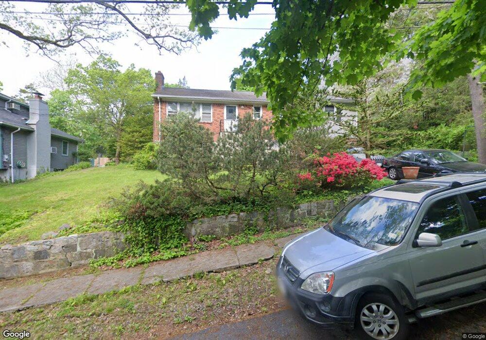
45 Southgate Ave Hastings On Hudson, NY 10706
Estimated Value: $929,000 - $1,066,000
--
Bed
--
Bath
1,413
Sq Ft
$698/Sq Ft
Est. Value
About This Home
This home is located at 45 Southgate Ave, Hastings On Hudson, NY 10706 and is currently estimated at $986,701, approximately $698 per square foot. 45 Southgate Ave is a home located in Westchester County with nearby schools including Hastings High School, St Anthony Catholic School, and Hudson Lab School.
Ownership History
Date
Name
Owned For
Owner Type
Purchase Details
Closed on
May 7, 2002
Sold by
Campo Thomas and Campo Barbara
Bought by
Sprague Peter and Lynch Robin
Current Estimated Value
Home Financials for this Owner
Home Financials are based on the most recent Mortgage that was taken out on this home.
Original Mortgage
$189,000
Interest Rate
6.73%
Mortgage Type
Purchase Money Mortgage
Create a Home Valuation Report for This Property
The Home Valuation Report is an in-depth analysis detailing your home's value as well as a comparison with similar homes in the area
Home Values in the Area
Average Home Value in this Area
Purchase History
| Date | Buyer | Sale Price | Title Company |
|---|---|---|---|
| Sprague Peter | $466,000 | -- |
Source: Public Records
Mortgage History
| Date | Status | Borrower | Loan Amount |
|---|---|---|---|
| Previous Owner | Sprague Peter | $189,000 |
Source: Public Records
Tax History Compared to Growth
Tax History
| Year | Tax Paid | Tax Assessment Tax Assessment Total Assessment is a certain percentage of the fair market value that is determined by local assessors to be the total taxable value of land and additions on the property. | Land | Improvement |
|---|---|---|---|---|
| 2024 | $23,699 | $896,100 | $409,700 | $486,400 |
| 2023 | $22,321 | $873,600 | $390,200 | $483,400 |
| 2022 | $21,067 | $800,800 | $390,200 | $410,600 |
| 2021 | $20,189 | $728,000 | $390,200 | $337,800 |
| 2020 | $20,005 | $684,600 | $410,700 | $273,900 |
| 2019 | $21,033 | $684,600 | $410,700 | $273,900 |
| 2018 | $22,366 | $666,100 | $410,700 | $255,400 |
| 2017 | $3,845 | $641,500 | $410,700 | $230,800 |
| 2016 | $495,926 | $616,800 | $410,700 | $206,100 |
| 2015 | $14,728 | $18,250 | $1,950 | $16,300 |
| 2014 | $14,728 | $18,250 | $1,950 | $16,300 |
| 2013 | $14,728 | $18,250 | $1,950 | $16,300 |
Source: Public Records
Map
Nearby Homes
- 22 Lincoln Ave
- 12 Glenn Place
- 83 Ravensdale Rd
- 51 Branford Rd
- 40 Dorchester Ave
- 538 Farragut Pkwy
- 24 School St
- 65 Circle Dr
- 445 Broadway Unit 2R
- 445 Broadway Unit 2-O
- 445 Broadway Unit 3A
- 39 Edison Ave
- 100 Clarewood Dr Unit 4G
- 40 Floral Dr
- 555 Broadway Unit 1H
- 45 Main St Unit 2A
- 1 Nodine St Unit 1
- 6 Nodine St Unit 6
- 5 Nodine St Unit 5
- 350 Warburton Ave
- 41 Southgate Ave
- 61 Southgate Ave
- 2 Lincoln Ave
- 12 Lincoln Ave
- 40 Southgate Ave
- 37 Southgate Ave
- 22 Fairmont Ave
- 67 Southgate Ave
- 35 Fairmont Ave Unit 2
- 1 Glenn Place
- 3 Fairmont Ave
- 59 Fairmont Ave
- 75 Southgate Ave
- 83 Fairmont Ave
- 8 Lefurgy Ave
- 87 Fairmont Ave
- 50 Southgate Ave
- 36 Fairmont Ave
- 14 Lefurgy Ave
- 30 Lincoln Ave