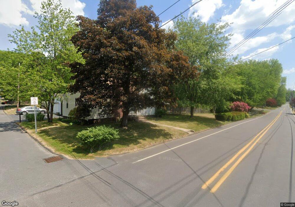
45 Stang St Shavertown, PA 18708
Estimated Value: $232,012 - $280,000
--
Bed
--
Bath
1,487
Sq Ft
$172/Sq Ft
Est. Value
About This Home
This home is located at 45 Stang St, Shavertown, PA 18708 and is currently estimated at $256,253, approximately $172 per square foot. 45 Stang St is a home located in Luzerne County with nearby schools including Dallas Senior High School and Cornerstone Christian Academy.
Ownership History
Date
Name
Owned For
Owner Type
Purchase Details
Closed on
Jan 8, 2020
Sold by
Howes Jeffrey L and Howes Dennis Carol
Bought by
Howes Jeffrey L
Current Estimated Value
Home Financials for this Owner
Home Financials are based on the most recent Mortgage that was taken out on this home.
Original Mortgage
$126,000
Outstanding Balance
$98,946
Interest Rate
3.6%
Mortgage Type
New Conventional
Estimated Equity
$157,307
Purchase Details
Closed on
Aug 28, 2000
Bought by
Dennis Carol A
Create a Home Valuation Report for This Property
The Home Valuation Report is an in-depth analysis detailing your home's value as well as a comparison with similar homes in the area
Home Values in the Area
Average Home Value in this Area
Purchase History
| Date | Buyer | Sale Price | Title Company |
|---|---|---|---|
| Howes Jeffrey L | -- | Bilbow Abstract Llc | |
| Dennis Carol A | $109,000 | -- |
Source: Public Records
Mortgage History
| Date | Status | Borrower | Loan Amount |
|---|---|---|---|
| Open | Howes Jeffrey L | $126,000 |
Source: Public Records
Tax History Compared to Growth
Tax History
| Year | Tax Paid | Tax Assessment Tax Assessment Total Assessment is a certain percentage of the fair market value that is determined by local assessors to be the total taxable value of land and additions on the property. | Land | Improvement |
|---|---|---|---|---|
| 2025 | $3,168 | $146,300 | $21,900 | $124,400 |
| 2024 | $3,071 | $146,300 | $21,900 | $124,400 |
| 2023 | $3,071 | $146,300 | $21,900 | $124,400 |
| 2022 | $3,044 | $146,300 | $21,900 | $124,400 |
| 2021 | $3,044 | $146,300 | $21,900 | $124,400 |
| 2020 | $3,044 | $146,300 | $21,900 | $124,400 |
| 2019 | $3,015 | $146,300 | $21,900 | $124,400 |
| 2018 | $2,986 | $146,300 | $21,900 | $124,400 |
| 2017 | $2,943 | $146,300 | $21,900 | $124,400 |
| 2016 | -- | $146,300 | $21,900 | $124,400 |
| 2015 | $2,410 | $146,300 | $21,900 | $124,400 |
| 2014 | $2,410 | $146,300 | $21,900 | $124,400 |
Source: Public Records
Map
Nearby Homes
- 125 N Lehigh St
- 70 Shaver Ave
- 3 N Pioneer Ave
- Lot # 4 Pioneer Ave
- 59 Zinn St
- 98 Davis St
- 175 N Pioneer Ave
- 205 Beech St
- 318 Echo Valley Dr
- 7 Echo Valley Dr
- 65 E Overbrook Rd
- 65 E Overbrook Ave
- 7 Orchard St
- 945 Lantern Hill Rd
- 162 E Overbrook Rd
- 235 E Center St
- 1021 Lower Demunds Rd
- 0 Main St
- 242 Maple St
- 747 Greens