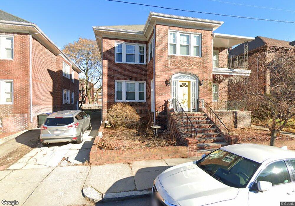
45 Supple Rd Dorchester, MA 02121
Dudley-Brunswick King NeighborhoodEstimated Value: $693,000 - $927,310
6
Beds
2
Baths
3,442
Sq Ft
$245/Sq Ft
Est. Value
About This Home
This home is located at 45 Supple Rd, Dorchester, MA 02121 and is currently estimated at $843,328, approximately $245 per square foot. 45 Supple Rd is a home located in Suffolk County with nearby schools including Bridge Boston Charter School and Mother Caroline Academy & Education Center.
Ownership History
Date
Name
Owned For
Owner Type
Purchase Details
Closed on
Jul 27, 2009
Sold by
Supply Rt
Bought by
Walker Robin R and Walker Betty J
Current Estimated Value
Home Financials for this Owner
Home Financials are based on the most recent Mortgage that was taken out on this home.
Original Mortgage
$261,800
Outstanding Balance
$173,887
Interest Rate
5.58%
Mortgage Type
Purchase Money Mortgage
Estimated Equity
$669,441
Create a Home Valuation Report for This Property
The Home Valuation Report is an in-depth analysis detailing your home's value as well as a comparison with similar homes in the area
Home Values in the Area
Average Home Value in this Area
Purchase History
| Date | Buyer | Sale Price | Title Company |
|---|---|---|---|
| Walker Robin R | $340,000 | -- |
Source: Public Records
Mortgage History
| Date | Status | Borrower | Loan Amount |
|---|---|---|---|
| Open | Walker Robin R | $261,800 |
Source: Public Records
Tax History Compared to Growth
Tax History
| Year | Tax Paid | Tax Assessment Tax Assessment Total Assessment is a certain percentage of the fair market value that is determined by local assessors to be the total taxable value of land and additions on the property. | Land | Improvement |
|---|---|---|---|---|
| 2025 | $9,563 | $825,800 | $241,300 | $584,500 |
| 2024 | $8,529 | $782,500 | $244,800 | $537,700 |
| 2023 | $8,240 | $767,200 | $240,000 | $527,200 |
| 2022 | $7,726 | $710,100 | $222,100 | $488,000 |
| 2021 | $6,790 | $636,400 | $207,600 | $428,800 |
| 2020 | $6,419 | $607,900 | $219,000 | $388,900 |
| 2019 | $5,583 | $529,700 | $164,900 | $364,800 |
| 2018 | $5,047 | $481,600 | $164,900 | $316,700 |
| 2017 | $5,100 | $481,600 | $164,900 | $316,700 |
| 2016 | $4,819 | $438,100 | $164,900 | $273,200 |
| 2015 | $4,522 | $373,400 | $113,400 | $260,000 |
| 2014 | $4,184 | $332,600 | $113,400 | $219,200 |
Source: Public Records
Map
Nearby Homes
- 32 Hartwell St
- 9-13 Hewins St
- 408 Seaver St Unit 2
- 27 Brinsley St
- 157-165 Stanwood St
- 103 Devon St
- 157 Stanwood St
- 154 Stanwood St
- 40 Devon St Unit 3
- 63 Normandy St
- 15 Ellington St
- 20 Rosseter St
- 25 Hutchings St
- 52 Intervale St
- 74 Glenway St
- 15 Mclellan St
- 21 Mclellan St
- 136-138 Homestead St
- 164 Ruthven St Unit 1
- 52 Mclellan St
- 41 Supple Rd
- 41 Supple Rd Unit 2
- 49 Supple Rd Unit 51
- 49 Supple Rd Unit 1
- 195 Normandy St Unit 197
- 53 Supple Rd Unit 55
- 25 Castlegate Rd
- 23 Castlegate Rd
- 23 Castlegate Rd Unit 2
- 23 Castlegate Rd Unit 1
- 000 Confidential Unit 3
- 97-99 Calendar Unit 1
- 000 Stock Photo
- 44 Supple Rd
- 37 Supple Rd
- 37 Supple Rd Unit 1
- 48 Supple Rd
- 40 Supple Rd Unit 42
- 21 Castlegate Rd
- 57 Supple Rd Unit 59