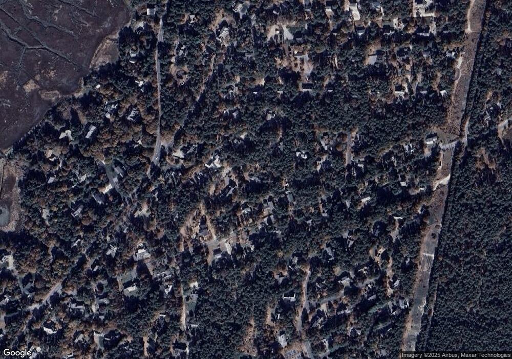
45 Tern Ln Eastham, MA 02642
Estimated Value: $646,000 - $760,000
3
Beds
2
Baths
1,366
Sq Ft
$503/Sq Ft
Est. Value
About This Home
This home is located at 45 Tern Ln, Eastham, MA 02642 and is currently estimated at $686,553, approximately $502 per square foot. 45 Tern Ln is a home located in Barnstable County with nearby schools including Eastham Elementary School, Nauset Regional Middle School, and Nauset Regional High School.
Ownership History
Date
Name
Owned For
Owner Type
Purchase Details
Closed on
Jun 29, 2021
Sold by
Wilcinski Leanne and Feinberg Harold
Bought by
45 Tern Lane T
Current Estimated Value
Purchase Details
Closed on
Feb 17, 2021
Sold by
Ciccone Deuese H
Bought by
Feinberg Harold and Wilcinski Leanne
Purchase Details
Closed on
Jan 19, 2021
Sold by
P H Bell T 1989
Bought by
Ciccone Deuese H
Create a Home Valuation Report for This Property
The Home Valuation Report is an in-depth analysis detailing your home's value as well as a comparison with similar homes in the area
Home Values in the Area
Average Home Value in this Area
Purchase History
| Date | Buyer | Sale Price | Title Company |
|---|---|---|---|
| 45 Tern Lane T | -- | None Available | |
| Feinberg Harold | -- | None Available | |
| Feinberg Harold | $425,000 | None Available | |
| Ciccone Deuese H | -- | None Available |
Source: Public Records
Tax History
| Year | Tax Paid | Tax Assessment Tax Assessment Total Assessment is a certain percentage of the fair market value that is determined by local assessors to be the total taxable value of land and additions on the property. | Land | Improvement |
|---|---|---|---|---|
| 2025 | $4,626 | $600,000 | $270,400 | $329,600 |
| 2024 | $4,117 | $587,300 | $262,500 | $324,800 |
| 2023 | $3,861 | $533,300 | $243,100 | $290,200 |
| 2022 | $3,726 | $434,300 | $217,000 | $217,300 |
| 2021 | $3,666 | $399,400 | $197,300 | $202,100 |
| 2020 | $3,437 | $394,100 | $201,300 | $192,800 |
| 2019 | $3,180 | $385,500 | $195,500 | $190,000 |
| 2018 | $3,130 | $374,800 | $189,800 | $185,000 |
| 2017 | $2,921 | $369,800 | $186,100 | $183,700 |
| 2016 | $2,728 | $366,700 | $186,100 | $180,600 |
| 2015 | $2,560 | $360,500 | $182,400 | $178,100 |
Source: Public Records
Map
Nearby Homes
- 55 Grandfathers Way
- 10 Cartway N
- 330 Hay Rd
- 785 State Hwy Unit 9
- 1061 State Hwy Unit 4
- 1061 State Hwy Unit 1061
- 40 Bayview Rd
- 20 Kittiwake Ln
- 25 Twin Rocks Dr
- 320 State Hwy
- 339 Dyer Prince Rd
- 181 Rock Harbor Rd
- 188 Rock Harbor Rd
- 20 Billingsgate Ave
- 2705 State Hwy
- 2705 State Hwy Unit 1-8
- 6 Penny Ln
- 46 Freeman Ln
- 2 Reilly Run
- 3 Reilly Run
- 970 Governor Prence Rd
- 65 Tern Ln
- 1000 Governor Prence Rd
- 30 Tern Ln
- 1220 Bridge Rd
- 15 Tern Ln
- 50 Tern Ln
- 20 Tern Ln
- 1030 Governor Prence Rd
- 60 Tern Ln
- 975 Governor Prence Rd
- 1005 Governor Prence Rd
- 955 Governor Prence Rd
- 1228-R Bridge Rd
- 1228 Bridge Rd
- 1230 Bridge Rd
- 70 Tern Ln
- 1200 Bridge Rd
- 75 Tern Ln
- 15 Gull Ln
