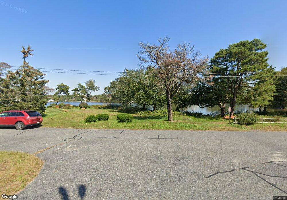
45 Uncle Stevens Rd West Dennis, MA 02670
West Dennis NeighborhoodEstimated Value: $1,070,654 - $2,245,000
4
Beds
3
Baths
1,585
Sq Ft
$918/Sq Ft
Est. Value
About This Home
This home is located at 45 Uncle Stevens Rd, West Dennis, MA 02670 and is currently estimated at $1,455,414, approximately $918 per square foot. 45 Uncle Stevens Rd is a home located in Barnstable County with nearby schools including Dennis-Yarmouth Regional High School and St. Pius X. School.
Ownership History
Date
Name
Owned For
Owner Type
Purchase Details
Closed on
Nov 18, 2024
Sold by
Hebner Richard J and Hebner Patricia C
Bought by
Patricia C Hebner Ret and Hebner
Current Estimated Value
Purchase Details
Closed on
Jun 14, 1984
Bought by
Hebner Richard J and Hebner Patricia C D
Create a Home Valuation Report for This Property
The Home Valuation Report is an in-depth analysis detailing your home's value as well as a comparison with similar homes in the area
Home Values in the Area
Average Home Value in this Area
Purchase History
| Date | Buyer | Sale Price | Title Company |
|---|---|---|---|
| Patricia C Hebner Ret | -- | None Available | |
| Patricia C Hebner Ret | -- | None Available | |
| Patricia C Hebner Ret | -- | None Available | |
| Hebner Richard J | $153,000 | -- |
Source: Public Records
Tax History Compared to Growth
Tax History
| Year | Tax Paid | Tax Assessment Tax Assessment Total Assessment is a certain percentage of the fair market value that is determined by local assessors to be the total taxable value of land and additions on the property. | Land | Improvement |
|---|---|---|---|---|
| 2025 | $4,322 | $998,200 | $592,200 | $406,000 |
| 2024 | $4,229 | $963,300 | $569,500 | $393,800 |
| 2023 | $4,090 | $875,700 | $517,700 | $358,000 |
| 2022 | $4,131 | $737,600 | $466,400 | $271,200 |
| 2021 | $3,629 | $601,900 | $368,000 | $233,900 |
| 2020 | $3,608 | $591,400 | $368,000 | $223,400 |
| 2019 | $3,666 | $594,200 | $393,600 | $200,600 |
| 2018 | $3,869 | $610,300 | $416,300 | $194,000 |
| 2017 | $3,753 | $610,300 | $416,300 | $194,000 |
| 2016 | $3,799 | $581,700 | $416,300 | $165,400 |
| 2015 | $6,597 | $735,400 | $637,000 | $98,400 |
| 2014 | $6,270 | $714,900 | $618,000 | $96,900 |
Source: Public Records
Map
Nearby Homes
- 6 Baker Way
- 178 School St
- 61 Trotters Ln
- 14 Schoolhouse Ln
- 23 Doric Ave
- 401 Main St Unit 201
- 401 Main St Unit 101
- 2 Rita Mary Way
- 10 Grindell Ave
- 209 Main St Unit 3
- 209 Main St Unit 6
- 209 Main St Unit 1
- 209 Main St Unit 2
- 209 Main St Unit 4
- 209 Main St Unit 5
- 467 Main St
- 37 Ocean Dr Unit 2
- 112 Old Wharf Rd Unit E4
- 112 Old Wharf Rd Unit E1
- 64 Beaten Rd
- 45 Uncle Stephens Rd
- 47 Uncle Stephens Rd
- 41 Uncle Stephens Rd
- 41 Uncle Stevens Rd
- 8 Babcock Ln
- 37-B Uncle Stephens Rd
- 35 Uncle Stevens Rd
- 61 Uncle Stevens Rd Unit 8
- 61 Uncle Stevens Rd Unit 7
- 61 Uncle Stevens Rd Unit 6
- 61 Uncle Stevens Rd Unit 4
- 61 Uncle Stevens Rd Unit 3
- 61 Uncle Stevens Rd Unit 2
- 61 Uncle Stevens Rd Unit 1
- 35 Uncle Stephens Rd
- 53 Uncle Stevens Rd
- 34 Uncle Stephens Rd
- 34 Uncle Stevens Rd
- 46 Uncle Stevens Rd
- 37B Uncle Stevens Rd