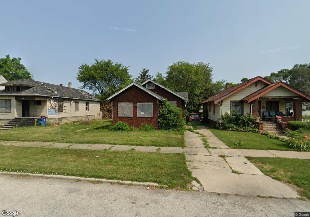
45 W 151st St Harvey, IL 60426
Estimated Value: $76,000 - $161,000
2
Beds
1
Bath
912
Sq Ft
$121/Sq Ft
Est. Value
About This Home
This home is located at 45 W 151st St, Harvey, IL 60426 and is currently estimated at $110,576, approximately $121 per square foot. 45 W 151st St is a home located in Cook County with nearby schools including Thornton Township High School.
Ownership History
Date
Name
Owned For
Owner Type
Purchase Details
Closed on
Feb 24, 2009
Sold by
Aghimien
Bought by
Wells Fargo Bank Na
Current Estimated Value
Purchase Details
Closed on
Oct 10, 2002
Sold by
Hud
Bought by
Aghimien Lucky and Aghimien Jeanette
Purchase Details
Closed on
Nov 14, 2001
Sold by
Bowden Elishes
Bought by
Hud
Purchase Details
Closed on
Aug 27, 1998
Sold by
Johnson Joann
Bought by
Bowden Elishes
Home Financials for this Owner
Home Financials are based on the most recent Mortgage that was taken out on this home.
Original Mortgage
$40,250
Interest Rate
7.04%
Mortgage Type
FHA
Create a Home Valuation Report for This Property
The Home Valuation Report is an in-depth analysis detailing your home's value as well as a comparison with similar homes in the area
Home Values in the Area
Average Home Value in this Area
Purchase History
| Date | Buyer | Sale Price | Title Company |
|---|---|---|---|
| Wells Fargo Bank Na | -- | None Available | |
| Aghimien Lucky | -- | Stewart Title | |
| Hud | -- | -- | |
| Bowden Elishes | $40,000 | -- |
Source: Public Records
Mortgage History
| Date | Status | Borrower | Loan Amount |
|---|---|---|---|
| Previous Owner | Bowden Elishes | $40,250 |
Source: Public Records
Tax History Compared to Growth
Tax History
| Year | Tax Paid | Tax Assessment Tax Assessment Total Assessment is a certain percentage of the fair market value that is determined by local assessors to be the total taxable value of land and additions on the property. | Land | Improvement |
|---|---|---|---|---|
| 2024 | $3,688 | $5,200 | $1,533 | $3,667 |
| 2023 | $3,700 | $5,200 | $1,533 | $3,667 |
| 2022 | $3,700 | $4,272 | $1,533 | $2,739 |
| 2021 | $3,618 | $4,272 | $1,533 | $2,739 |
| 2020 | $3,510 | $4,272 | $1,533 | $2,739 |
| 2019 | $4,209 | $5,190 | $1,394 | $3,796 |
| 2018 | $4,075 | $5,190 | $1,394 | $3,796 |
| 2017 | $4,007 | $5,190 | $1,394 | $3,796 |
| 2016 | $3,879 | $5,369 | $1,254 | $4,115 |
| 2015 | $3,731 | $5,369 | $1,254 | $4,115 |
| 2014 | $3,713 | $5,369 | $1,254 | $4,115 |
| 2013 | $3,680 | $5,776 | $1,254 | $4,522 |
Source: Public Records
Map
Nearby Homes
- 15033 Paulina St
- 15032 Marshfield Ave
- 14911 Page Ave
- 110 W 150th St
- 14910 S Wood St
- 36 E 151st St
- 14921 Lincoln Ave
- 15131 Winchester Ave
- 15240 Ashland Ave
- 15231 Ashland Ave
- 15032 Winchester Ave
- 15018 Myrtle Ave
- 14900 Vine Ave
- 147 W 150th St
- 14807 Paulina St
- 15311 Winchester Ave
- 14806 Lincoln Ave
- 15321 Winchester Ave
- 14727 Wood St
- 15025 Loomis Ave
- 45 W 151st St
- 47 W 151st St
- 43 W 151st St
- 49 W 151st St
- 55 W 151st St
- 15034 Paulina St
- 15032 Paulina St
- 57 W 151st St
- 37 W 151st St
- 54 W 151st St
- 15026 Paulina St
- 44 W 151st St
- 48 W 151st St
- 15108 Paulina St
- 15108 Paulina St
- 50 W 151st St
- 35 W 151st St
- 15033 Paulina St
- 15024 Paulina St
- 33 W 151st St