45 Walnut Rd Lewisburg, PA 17837
East Buffalo Township NeighborhoodEstimated Value: $298,953 - $352,000
3
Beds
2
Baths
1,830
Sq Ft
$180/Sq Ft
Est. Value
About This Home
This home is located at 45 Walnut Rd, Lewisburg, PA 17837 and is currently estimated at $329,738, approximately $180 per square foot. 45 Walnut Rd is a home located in Union County with nearby schools including Kelly Elementary School, Linntown Elementary School, and Donald H. Eichhorn Middle School.
Ownership History
Date
Name
Owned For
Owner Type
Purchase Details
Closed on
Nov 8, 2012
Sold by
Dershem Joan P
Bought by
Bullock Edward R and Bullock Amy M
Current Estimated Value
Home Financials for this Owner
Home Financials are based on the most recent Mortgage that was taken out on this home.
Original Mortgage
$149,600
Outstanding Balance
$106,312
Interest Rate
4%
Mortgage Type
Adjustable Rate Mortgage/ARM
Estimated Equity
$223,426
Create a Home Valuation Report for This Property
The Home Valuation Report is an in-depth analysis detailing your home's value as well as a comparison with similar homes in the area
Home Values in the Area
Average Home Value in this Area
Purchase History
| Date | Buyer | Sale Price | Title Company |
|---|---|---|---|
| Bullock Edward R | $187,000 | None Available |
Source: Public Records
Mortgage History
| Date | Status | Borrower | Loan Amount |
|---|---|---|---|
| Open | Bullock Edward R | $149,600 |
Source: Public Records
Tax History Compared to Growth
Tax History
| Year | Tax Paid | Tax Assessment Tax Assessment Total Assessment is a certain percentage of the fair market value that is determined by local assessors to be the total taxable value of land and additions on the property. | Land | Improvement |
|---|---|---|---|---|
| 2025 | $3,636 | $123,900 | $33,100 | $90,800 |
| 2024 | $3,539 | $123,900 | $33,100 | $90,800 |
| 2023 | $3,432 | $123,900 | $33,100 | $90,800 |
| 2022 | $3,426 | $123,900 | $33,100 | $90,800 |
| 2021 | $3,441 | $123,900 | $33,100 | $90,800 |
| 2020 | $3,443 | $123,900 | $33,100 | $90,800 |
| 2019 | $34,692 | $123,900 | $33,100 | $90,800 |
| 2018 | $3,422 | $123,900 | $33,100 | $90,800 |
| 2017 | $3,422 | $123,900 | $33,100 | $90,800 |
| 2016 | $3,292 | $123,900 | $33,100 | $90,800 |
| 2015 | -- | $123,900 | $33,100 | $90,800 |
| 2014 | -- | $123,900 | $33,100 | $90,800 |
Source: Public Records
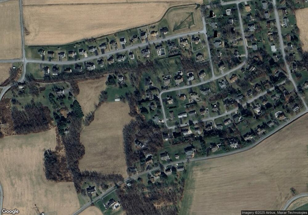
Map
Nearby Homes
- 3 Walnut Rd
- 137 Valley View Rd
- 2935 Smoketown Rd
- 55 Bel Air Dr
- LOT 3 Smoketown Rd
- 20 Bel Air Dr
- 25 Brook Dr
- 15 Primavera Cir
- 9 Westridge Ln
- 0 Bull Run Crossing
- 300 Sunnyside Dr
- 520 S 22nd St
- 96 Dogwood Ln
- 2111 Madison Ave
- 416 S 21st St
- 407 S 20th St
- 1500 Smoketown Rd
- 0 Reitz Blvd
- 211 James Rd
- 14 Edward Cir
- 63 Walnut Rd
- 23 Walnut Rd
- 42 Walnut Rd
- 18 Walnut Rd
- 69 Walnut Rd
- 262 Poplar Rd
- 87 E Jupiter Ln
- 216 Mountainview Rd
- 237 Poplar Rd
- 243 Mountain View Rd
- 242 Poplar Rd
- 231 Mountainview Rd
- 196 Mountain View Rd
- 196 Mountainview Rd
- 219 Poplar Rd
- 215 Mountainview Rd
- 214 Poplar Rd
- 161 Lowe St
- 141 Lowe St
- 117 Lowe St