45 Wildcat Creek Rd Boothbay, ME 04537
Estimated Value: $557,000 - $897,000
3
Beds
3
Baths
640
Sq Ft
$1,038/Sq Ft
Est. Value
About This Home
This home is located at 45 Wildcat Creek Rd, Boothbay, ME 04537 and is currently estimated at $664,474, approximately $1,038 per square foot. 45 Wildcat Creek Rd is a home with nearby schools including Boothbay Region Elementary School, Boothbay Region High School, and The Deck House School.
Ownership History
Date
Name
Owned For
Owner Type
Purchase Details
Closed on
Mar 6, 2012
Sold by
Arsenault Lisa
Bought by
Arsenault Alex
Current Estimated Value
Home Financials for this Owner
Home Financials are based on the most recent Mortgage that was taken out on this home.
Original Mortgage
$190,000
Interest Rate
3.88%
Mortgage Type
Purchase Money Mortgage
Create a Home Valuation Report for This Property
The Home Valuation Report is an in-depth analysis detailing your home's value as well as a comparison with similar homes in the area
Home Values in the Area
Average Home Value in this Area
Purchase History
| Date | Buyer | Sale Price | Title Company |
|---|---|---|---|
| Arsenault Alex | -- | -- |
Source: Public Records
Mortgage History
| Date | Status | Borrower | Loan Amount |
|---|---|---|---|
| Closed | Arsenault Alex | $190,000 |
Source: Public Records
Tax History Compared to Growth
Tax History
| Year | Tax Paid | Tax Assessment Tax Assessment Total Assessment is a certain percentage of the fair market value that is determined by local assessors to be the total taxable value of land and additions on the property. | Land | Improvement |
|---|---|---|---|---|
| 2024 | $4,123 | $363,301 | $156,896 | $206,405 |
| 2023 | $3,651 | $363,301 | $156,896 | $206,405 |
| 2022 | $3,379 | $363,301 | $156,896 | $206,405 |
| 2021 | $3,314 | $347,043 | $156,896 | $190,147 |
| 2020 | $3,260 | $339,539 | $156,896 | $182,643 |
| 2019 | $3,209 | $339,539 | $156,896 | $182,643 |
| 2018 | $3,158 | $339,539 | $156,896 | $182,643 |
| 2017 | $3,246 | $352,800 | $133,900 | $218,900 |
| 2016 | $3,105 | $352,800 | $133,900 | $218,900 |
| 2015 | $3,021 | $345,300 | $126,400 | $218,900 |
| 2014 | $2,935 | $345,300 | $126,400 | $218,900 |
Source: Public Records
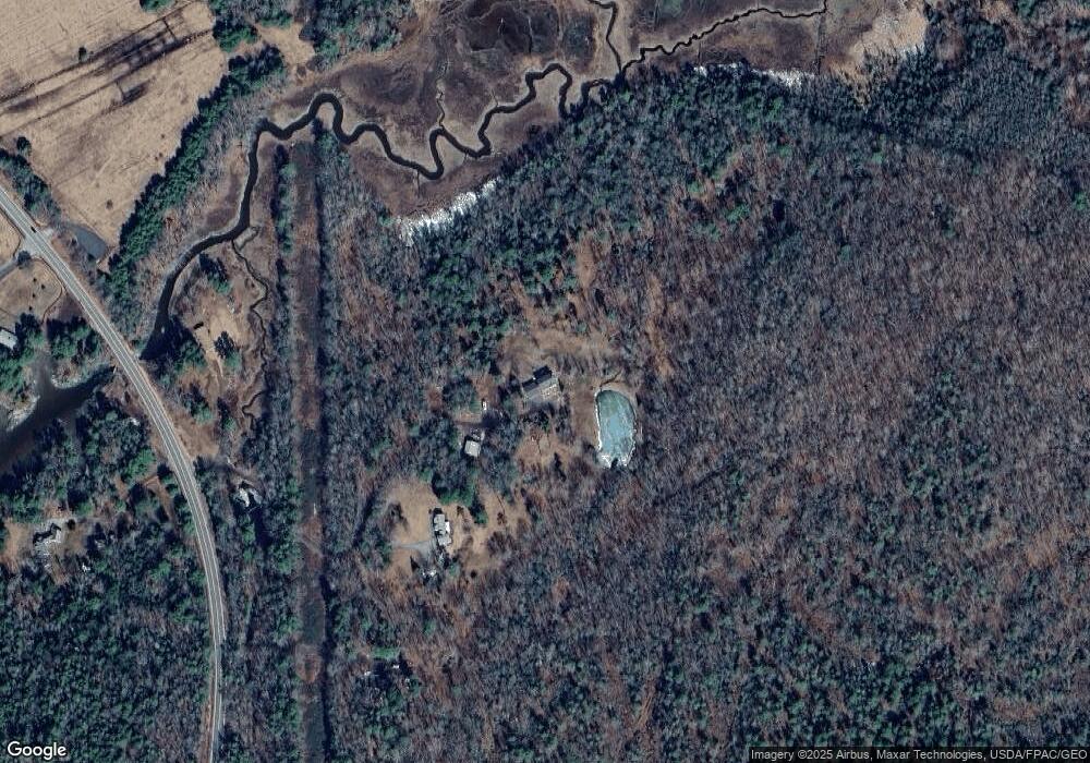
Map
Nearby Homes
- 5 Hillside Place Unit 2
- 29 Wiscasset Rd
- 5 Moose Ridge Crossing
- 9 Tomcat Trail
- 96 Forest Haven Rd
- 494 Wiscasset Rd
- 50 Hardwick Rd
- 18 High Head Rd
- 29 Mill Rd
- 3-10 Industrial Park Rd
- 712 Back River Rd
- 664 Boothbay Rd
- 50 Bunchberry Ln
- 34 Bunchberry Ln
- 693 Wiscasset Rd
- 105-26 Back Eighty Rd
- 576 Back River Rd
- 29 Good Day Dr
- 62 Murphy Rd
- 1 Good Day Dr
- 23 Wildcat Creek Rd
- 204 Wiscasset Rd
- 181 Wiscasset Rd
- 159 Wiscasset Rd
- 227 Wiscasset Rd
- 92 Burleigh Hill Rd
- 34 Hillside Place
- 246 Wiscasset Rd
- 22 Hillside Place
- 0 Hillside Place
- 45 Hillside Place
- 27 Deer Run Rd
- 55 Hillside Place
- 21 Hillside Place
- 104 Wiscasset Rd
- 116 Wiscasset Rd
- 267 Wiscasset Rd
- 310 River Rd
- 5-C Hillside Place Unit C