45 Windy Ridge Rd Warren, CT 06754
Estimated Value: $600,000 - $670,878
3
Beds
2
Baths
3,374
Sq Ft
$186/Sq Ft
Est. Value
About This Home
This home is located at 45 Windy Ridge Rd, Warren, CT 06754 and is currently estimated at $628,220, approximately $186 per square foot. 45 Windy Ridge Rd is a home located in Litchfield County with nearby schools including Lakeview High School.
Ownership History
Date
Name
Owned For
Owner Type
Purchase Details
Closed on
May 17, 2002
Sold by
Mollin Keith and Mollins Jennifer
Bought by
Syed Magsood and Brady-Syed Colleen C
Current Estimated Value
Purchase Details
Closed on
Jun 19, 2000
Sold by
Deanne Richard G and Deanne Lori B
Bought by
Mollin Keith and Mollin Jennifer
Create a Home Valuation Report for This Property
The Home Valuation Report is an in-depth analysis detailing your home's value as well as a comparison with similar homes in the area
Home Values in the Area
Average Home Value in this Area
Purchase History
| Date | Buyer | Sale Price | Title Company |
|---|---|---|---|
| Syed Magsood | $221,500 | -- | |
| Syed Magsood | $221,500 | -- | |
| Mollin Keith | $182,500 | -- | |
| Mollin Keith | $182,500 | -- |
Source: Public Records
Mortgage History
| Date | Status | Borrower | Loan Amount |
|---|---|---|---|
| Open | Mollin Keith | $276,000 | |
| Closed | Mollin Keith | $250,000 |
Source: Public Records
Tax History
| Year | Tax Paid | Tax Assessment Tax Assessment Total Assessment is a certain percentage of the fair market value that is determined by local assessors to be the total taxable value of land and additions on the property. | Land | Improvement |
|---|---|---|---|---|
| 2025 | $4,542 | $356,230 | $69,300 | $286,930 |
| 2024 | $4,542 | $356,230 | $69,300 | $286,930 |
| 2023 | $4,684 | $356,230 | $69,300 | $286,930 |
| 2022 | $4,188 | $295,940 | $69,300 | $226,640 |
| 2021 | $4,188 | $295,940 | $69,300 | $226,640 |
| 2020 | $4,217 | $295,940 | $69,300 | $226,640 |
| 2019 | $4,217 | $295,940 | $69,300 | $226,640 |
| 2018 | $4,217 | $295,940 | $69,300 | $226,640 |
| 2017 | $4,004 | $276,150 | $77,140 | $199,010 |
| 2016 | $3,963 | $276,150 | $77,140 | $199,010 |
| 2015 | $3,921 | $276,150 | $77,140 | $199,010 |
| 2014 | $3,921 | $276,150 | $77,140 | $199,010 |
Source: Public Records
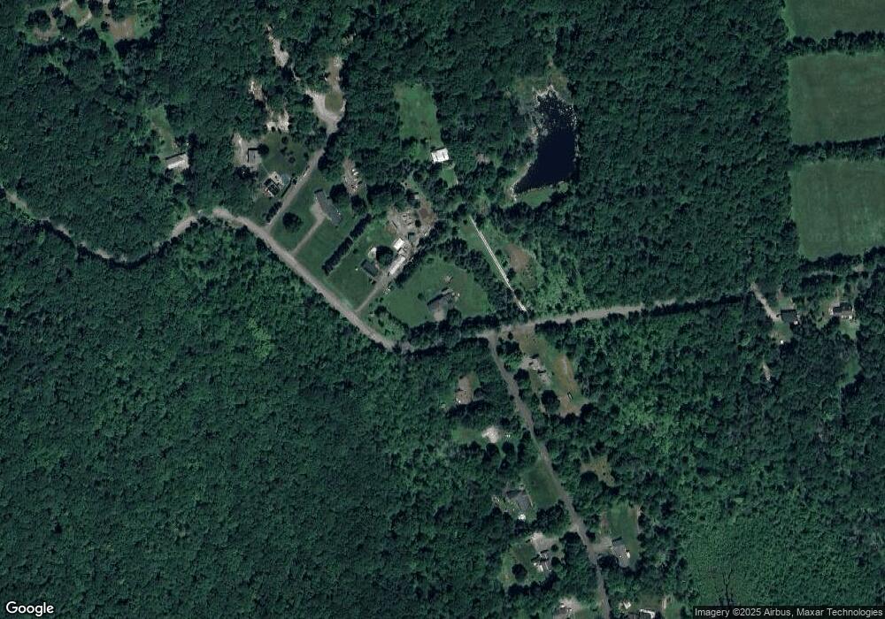
Map
Nearby Homes
- 102 Melius Rd
- 11 Day Rd
- 0 Lake Rd
- 34 Kent Rd
- 143 Whitcomb Hill Rd
- 00 Above All Rd
- 70 Kent Rd S
- 0 Stonewall Unit 39
- 11 Old Paddock Ln
- 0 Mountain Lake Rd
- 0 Curtiss Rd
- 25 Mountain Lake Rd
- 552 Milton Rd
- 132 Curtiss Rd
- 28 Headquarters Rd
- 0 Mount Mauwee Rd
- 00 Upper Kent Hollow Rd
- 0 Gorham Rd Unit 24138133
- 18 Arrow Point Rd
- 23 Mauwee Brook Rd
- 44 Windy Ridge Rd
- 39 Windy Ridge Rd
- 2 Reverie Ln
- 00 Windy Ridge Rd
- 35 Windy Ridge Rd
- 35 Windy Ridge Rd Unit A
- 6 Reverie Ln
- 3 Reverie Ln
- 53 Windy Ridge Rd
- 10 Reverie Ln
- 31 Windy Ridge Rd
- 0 Evergreen Ln Unit L10091177
- 14 Reverie Ln
- 21 Reverie Ln
- 27 Windy Ridge Rd
- 15 Reverie Ln
- 18 Reverie Ln
- 70 Windy Ridge Rd
- 19 Reverie Ln
- 74 Windy Ridge Rd
Your Personal Tour Guide
Ask me questions while you tour the home.