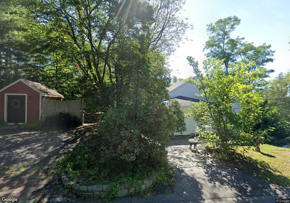
45 Woodside Path East Weymouth, MA 02189
East Weymouth NeighborhoodEstimated Value: $309,000 - $484,923
2
Beds
1
Bath
808
Sq Ft
$536/Sq Ft
Est. Value
About This Home
This home is located at 45 Woodside Path, East Weymouth, MA 02189 and is currently estimated at $433,231, approximately $536 per square foot. 45 Woodside Path is a home located in Norfolk County with nearby schools including William Seach Elementary School, Abigail Adams Middle School, and Weymouth Middle School Chapman.
Ownership History
Date
Name
Owned For
Owner Type
Purchase Details
Closed on
Jun 22, 2021
Sold by
Farrell Linda A
Bought by
Linda Farrell Rt
Current Estimated Value
Purchase Details
Closed on
Oct 1, 1999
Sold by
Clarke Gerald L and Clarke Jessica R
Bought by
Farrell Linda A
Home Financials for this Owner
Home Financials are based on the most recent Mortgage that was taken out on this home.
Original Mortgage
$84,000
Interest Rate
7.85%
Mortgage Type
Purchase Money Mortgage
Purchase Details
Closed on
Nov 18, 1994
Sold by
Gilcoine Elizabeth
Bought by
Clarke Gerald L and Clarke Jessica R
Home Financials for this Owner
Home Financials are based on the most recent Mortgage that was taken out on this home.
Original Mortgage
$80,000
Interest Rate
8.9%
Mortgage Type
Purchase Money Mortgage
Create a Home Valuation Report for This Property
The Home Valuation Report is an in-depth analysis detailing your home's value as well as a comparison with similar homes in the area
Home Values in the Area
Average Home Value in this Area
Purchase History
| Date | Buyer | Sale Price | Title Company |
|---|---|---|---|
| Linda Farrell Rt | -- | None Available | |
| Farrell Linda A | $118,000 | -- | |
| Clarke Gerald L | $90,000 | -- |
Source: Public Records
Mortgage History
| Date | Status | Borrower | Loan Amount |
|---|---|---|---|
| Previous Owner | Clarke Gerald L | $83,000 | |
| Previous Owner | Clarke Gerald L | $84,000 | |
| Previous Owner | Clarke Gerald L | $80,000 |
Source: Public Records
Tax History Compared to Growth
Tax History
| Year | Tax Paid | Tax Assessment Tax Assessment Total Assessment is a certain percentage of the fair market value that is determined by local assessors to be the total taxable value of land and additions on the property. | Land | Improvement |
|---|---|---|---|---|
| 2025 | $4,359 | $431,600 | $218,400 | $213,200 |
| 2024 | $4,222 | $411,100 | $208,000 | $203,100 |
| 2023 | $3,978 | $380,700 | $192,600 | $188,100 |
| 2022 | $3,904 | $340,700 | $178,400 | $162,300 |
| 2021 | $3,469 | $295,500 | $170,300 | $125,200 |
| 2020 | $3,267 | $274,100 | $170,300 | $103,800 |
| 2019 | $3,139 | $259,000 | $163,700 | $95,300 |
| 2018 | $3,054 | $244,300 | $155,900 | $88,400 |
| 2017 | $2,981 | $232,700 | $148,500 | $84,200 |
| 2016 | $2,865 | $223,800 | $142,800 | $81,000 |
| 2015 | $2,741 | $212,500 | $142,800 | $69,700 |
| 2014 | $2,782 | $209,200 | $139,200 | $70,000 |
Source: Public Records
Map
Nearby Homes
- 25 Echo Ave
- 966 Washington St Unit 2
- 1015 Washington St
- 747 Middle St
- 215 Winter St Unit 1P
- 16 Oak Cliff Rd
- 2 Tara Dr Unit 1
- 10 Chapman St Unit 202
- 211 Lake Shore Dr
- 209 Lake Shore Dr
- 191 Tall Oaks Dr Unit C
- 675 Pleasant St Unit 8
- 200 Burkhall St Unit 803
- 200 Burkhall St Unit 102
- 131 Mutton Ln
- 14 Old Stone Way Unit 11
- 120 Burkhall St Unit K
- 110 Burkhall St Unit H
- 955 Pleasant St Unit 11
- 449 Middle St
- 33 Woodside Path
- 49 Woodside Path
- 142 Lane Ave
- 15 Wycliffe St
- 30 Woodside Path
- 29 Woodside Path
- 29 Woodside Path Unit 2
- 10 Wycliffe St
- 16 Woodside Path
- 7 Woodside Path
- 1 Woodside Path
- 34 Saint Margaret St
- 6 Perkins Rd
- 0 Perkins Rd
- 8 Perkins Rd
- 2 Perkins Rd
- 24 Saint Margaret St
- 26 Saint Margaret St
- 60 Patterson St
- 7 Lakecrest Path