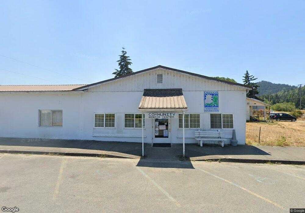
450 1/2 1st Ave Powers, OR 97466
Estimated Value: $145,282 - $214,000
2
Beds
1
Bath
480
Sq Ft
$374/Sq Ft
Est. Value
About This Home
This home is located at 450 1/2 1st Ave, Powers, OR 97466 and is currently estimated at $179,641, approximately $374 per square foot. 450 1/2 1st Ave is a home located in Coos County with nearby schools including Powers High School.
Ownership History
Date
Name
Owned For
Owner Type
Purchase Details
Closed on
Sep 22, 2023
Sold by
Coos County
Bought by
Wilkins Family Revocable Living Trust and Loomis
Current Estimated Value
Purchase Details
Closed on
May 24, 2017
Sold by
Smith Geneva A
Bought by
Mclean Timothy W
Purchase Details
Closed on
Jun 16, 2016
Sold by
Durham Vandoh Lee and Smith Geneva Ann
Bought by
Lebbitt Theresa
Purchase Details
Closed on
Jul 11, 2012
Sold by
Ray Allen X
Bought by
Smith Geneva Ann and Durham Vandol Lee
Create a Home Valuation Report for This Property
The Home Valuation Report is an in-depth analysis detailing your home's value as well as a comparison with similar homes in the area
Home Values in the Area
Average Home Value in this Area
Purchase History
| Date | Buyer | Sale Price | Title Company |
|---|---|---|---|
| Wilkins Family Revocable Living Trust | -- | None Listed On Document | |
| Mclean Timothy W | -- | None Available | |
| Lebbitt Theresa | -- | None Available | |
| Smith Geneva Ann | -- | None Available | |
| Ray Allen X | -- | None Available |
Source: Public Records
Tax History Compared to Growth
Tax History
| Year | Tax Paid | Tax Assessment Tax Assessment Total Assessment is a certain percentage of the fair market value that is determined by local assessors to be the total taxable value of land and additions on the property. | Land | Improvement |
|---|---|---|---|---|
| 2025 | -- | -- | -- | -- |
| 2024 | -- | -- | -- | -- |
| 2023 | $270 | $17,150 | $0 | $0 |
| 2022 | $266 | $16,660 | $0 | $0 |
| 2021 | $259 | $16,180 | $0 | $0 |
| 2020 | $246 | $16,180 | $0 | $0 |
| 2019 | $236 | $15,260 | $0 | $0 |
| 2018 | $229 | $14,820 | $0 | $0 |
| 2017 | $223 | $14,390 | $0 | $0 |
| 2016 | $217 | $13,980 | $0 | $0 |
| 2015 | $202 | $13,580 | $0 | $0 |
| 2014 | $202 | $13,190 | $0 | $0 |
Source: Public Records
Map
Nearby Homes
- 141 Poplar St
- 432 2nd Ave
- 510 Fir St
- 711 Ave H
- 815 E Ave
- 130 E Date St
- 889 H Ave
- 110 E Birch St
- 711 H Ave
- 45275 Highway 242
- 46255 Highway 242
- 51014 Dement Creek Rd
- 51256 Salmon Gulch Rd
- 51320 Myrtle Creek Rd
- 15779 Oregon 42
- 98470 Carla Ln
- 000 Eden Valley Rd Unit 600
- 20191 Highway 42
- 1985 Roseburg Rd
- 1753 20th St