Estimated Value: $401,000 - $556,000
4
Beds
4
Baths
3,689
Sq Ft
$129/Sq Ft
Est. Value
About This Home
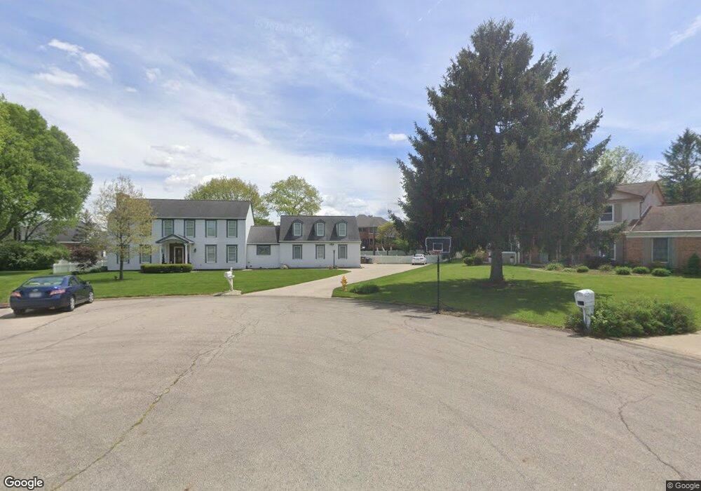
This home is located at 450 Birchwood Ct, Troy, OH 45373 and is currently estimated at $474,156, approximately $128 per square foot. 450 Birchwood Ct is a home located in Miami County with nearby schools including Concord Elementary School, Van Cleve Elementary School, and Troy Junior High School.
Ownership History
Date
Name
Owned For
Owner Type
Purchase Details
Closed on
Oct 26, 2016
Sold by
Ocampo Victoria G
Bought by
Victoria G Ocampo
Current Estimated Value
Home Financials for this Owner
Home Financials are based on the most recent Mortgage that was taken out on this home.
Interest Rate
3.52%
Purchase Details
Closed on
Oct 1, 1981
Bought by
Ocampo Victoria G
Create a Home Valuation Report for This Property
The Home Valuation Report is an in-depth analysis detailing your home's value as well as a comparison with similar homes in the area
Home Values in the Area
Average Home Value in this Area
Purchase History
| Date | Buyer | Sale Price | Title Company |
|---|---|---|---|
| Victoria G Ocampo | -- | -- | |
| Ocampo Victoria G | $180,000 | -- |
Source: Public Records
Mortgage History
| Date | Status | Borrower | Loan Amount |
|---|---|---|---|
| Previous Owner | Victoria G Ocampo | -- |
Source: Public Records
Tax History Compared to Growth
Tax History
| Year | Tax Paid | Tax Assessment Tax Assessment Total Assessment is a certain percentage of the fair market value that is determined by local assessors to be the total taxable value of land and additions on the property. | Land | Improvement |
|---|---|---|---|---|
| 2024 | $4,585 | $118,020 | $24,850 | $93,170 |
| 2023 | $4,585 | $118,020 | $24,850 | $93,170 |
| 2022 | $3,840 | $118,020 | $24,850 | $93,170 |
| 2021 | $3,558 | $102,630 | $21,600 | $81,030 |
| 2020 | $3,562 | $102,630 | $21,600 | $81,030 |
| 2019 | $3,594 | $102,630 | $21,600 | $81,030 |
| 2018 | $3,036 | $82,570 | $20,860 | $61,710 |
| 2017 | $3,064 | $82,570 | $20,860 | $61,710 |
| 2016 | $2,701 | $82,570 | $20,860 | $61,710 |
| 2015 | $2,576 | $76,440 | $19,320 | $57,120 |
| 2014 | $2,576 | $76,440 | $19,320 | $57,120 |
| 2013 | $2,593 | $76,440 | $19,320 | $57,120 |
Source: Public Records
Map
Nearby Homes
- 0 Lincolnshire Unit 939331
- 2765 Silver Maple Ct
- 2215 Merrimont Dr
- 445 Wisteria Dr
- 2015 Merrimont Dr
- 660 Wisteria Dr
- 203 Boone Dr
- 2065 S Co Road 25a
- 650 Swailes Rd
- 1117 Honeydew Dr
- 1701 Chevington Chase
- 1550 Creekwood Dr
- Spruce Plan at Summit Landing
- Norway Plan at Summit Landing
- Chestnut Plan at Summit Landing
- Juniper Plan at Summit Landing
- Palmetto Plan at Summit Landing
- Ashton Plan at Summit Landing
- Empress Plan at Summit Landing
- Ironwood Plan at Summit Landing
- 460 Birchwood Ct
- 325 Countryside Dr N
- 337 Countryside Dr N
- 311 Countryside Dr N
- 349 Countryside Dr N
- 430 Meadowood Dr
- 485 Birchwood Ct
- 480 Birchwood Ct
- 460 Cottonwood Ct
- 441 Meadowood Dr
- 299 Countryside Dr N
- 330 Countryside Dr N
- 361 Countryside Dr N
- 480 Cottonwood Ct
- 344 Countryside Dr N
- 2585 Broken Woods Dr
- 510 Birchwood Ct
- 314 Countryside Dr N
- 444 Cottonwood Ct
- 450 Meadowood Dr