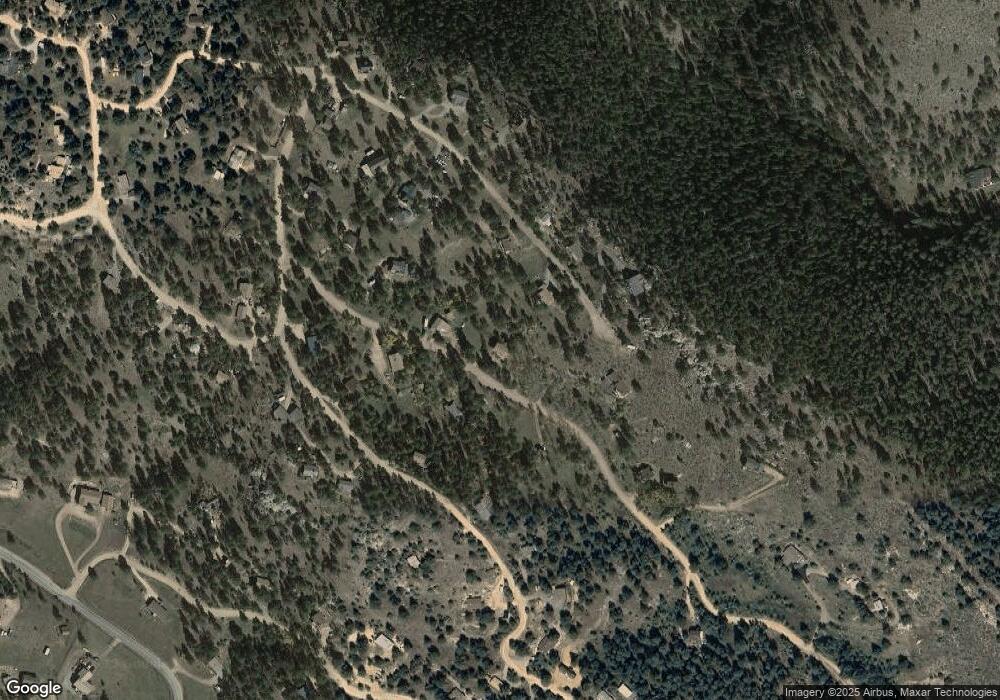
450 Bob Cat Trail Bailey, CO 80421
Estimated Value: $475,491 - $540,000
2
Beds
1
Bath
1,768
Sq Ft
$289/Sq Ft
Est. Value
About This Home
This home is located at 450 Bob Cat Trail, Bailey, CO 80421 and is currently estimated at $510,623, approximately $288 per square foot. 450 Bob Cat Trail is a home located in Park County with nearby schools including Deer Creek Elementary School, Fitzsimmons Middle School, and Platte Canyon High School.
Ownership History
Date
Name
Owned For
Owner Type
Purchase Details
Closed on
Jan 15, 2021
Sold by
Renfro Crystal
Bought by
Aend Living Trust
Current Estimated Value
Purchase Details
Closed on
Jul 22, 2016
Sold by
Landers Christopher
Bought by
Renfro Crystal
Home Financials for this Owner
Home Financials are based on the most recent Mortgage that was taken out on this home.
Original Mortgage
$199,500
Interest Rate
3.6%
Mortgage Type
New Conventional
Purchase Details
Closed on
Jun 17, 2015
Sold by
Port Kevin Arthur
Bought by
Landers Christopher
Home Financials for this Owner
Home Financials are based on the most recent Mortgage that was taken out on this home.
Original Mortgage
$223,250
Interest Rate
3.82%
Mortgage Type
New Conventional
Create a Home Valuation Report for This Property
The Home Valuation Report is an in-depth analysis detailing your home's value as well as a comparison with similar homes in the area
Home Values in the Area
Average Home Value in this Area
Purchase History
| Date | Buyer | Sale Price | Title Company |
|---|---|---|---|
| Aend Living Trust | -- | None Available | |
| Renfro Crystal | $266,000 | Fidelity National Title Insu | |
| Landers Christopher | $235,000 | Fidelity National Title Insu |
Source: Public Records
Mortgage History
| Date | Status | Borrower | Loan Amount |
|---|---|---|---|
| Previous Owner | Renfro Crystal | $199,500 | |
| Previous Owner | Landers Christopher | $223,250 |
Source: Public Records
Tax History Compared to Growth
Tax History
| Year | Tax Paid | Tax Assessment Tax Assessment Total Assessment is a certain percentage of the fair market value that is determined by local assessors to be the total taxable value of land and additions on the property. | Land | Improvement |
|---|---|---|---|---|
| 2024 | $1,721 | $29,090 | $4,130 | $24,960 |
| 2023 | $1,721 | $29,090 | $4,130 | $24,960 |
| 2022 | $1,513 | $23,899 | $3,390 | $20,509 |
| 2021 | $1,501 | $24,590 | $3,490 | $21,100 |
| 2020 | $1,406 | $22,120 | $2,360 | $19,760 |
| 2019 | $1,387 | $22,120 | $2,360 | $19,760 |
| 2018 | $1,201 | $22,120 | $2,360 | $19,760 |
| 2017 | $1,199 | $18,560 | $2,190 | $16,370 |
| 2016 | $1,095 | $16,860 | $2,250 | $14,610 |
| 2015 | $1,104 | $16,860 | $2,250 | $14,610 |
| 2014 | $931 | $0 | $0 | $0 |
Source: Public Records
Map
Nearby Homes
- 209 Fawn Rd
- 80 Fawn Rd
- 325 Bob Cat Trail
- 2729 County Road 72
- 174 Chickadee Dr
- 262 Dick Mountain Dr
- 665 Impala Trail
- 217 Catamount Ridge Rd
- 243 Hi Meadow Dr
- 331 Bluebird Ln
- 000 Mockingbird Trail
- 364 Sleepy Hollow Dr
- 360 Hi Meadow Dr
- 360 Hi Meadow Dr Unit 21
- 42 Catamount Ridge Rd
- 294 Kudu Trail
- 12 High View Ln
- 456 Lo Meadow Ln Unit 13
- 4501 County Road 72
- 1740 County Road 72
- 447 Bob Cat Trail
- 492 Bob Cat Trail
- 176 Fawn Rd
- 419 Bob Cat Trail
- 493 Bob Cat Trail
- 126 Bunny Rd
- 414 Bob Cat Trail Unit 7
- 414 Bobcat Trail
- 142 Fawn Rd
- 528 Bob Cat Trail
- 181 Fawn Rd
- 153 Fawn Rd
- 154 Bunny Rd
- 68 Bunny Rd
- 186 Bunny Rd
- 404 Bob Cat Trail
- 12 Bunny Rd
- 564 Bob Cat Trail
- 53 Bunny Rd
- 388 Bob Cat Trail
