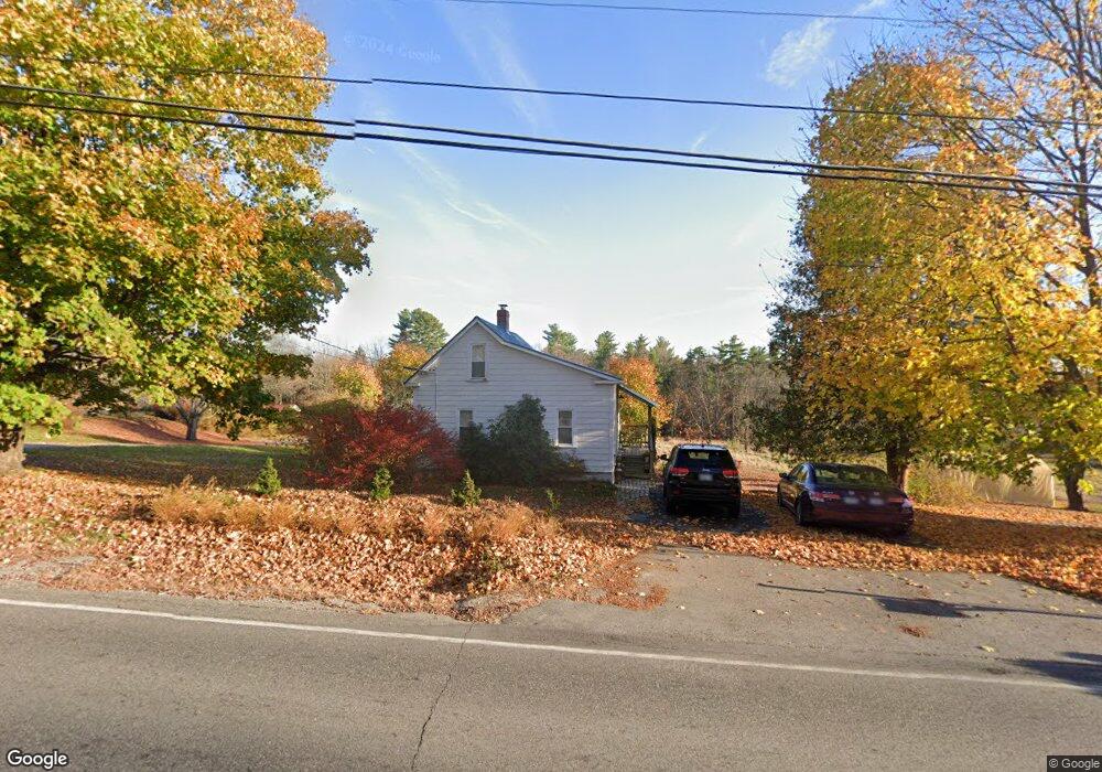
450 Bonny Eagle Rd Standish, ME 04084
Estimated Value: $236,024 - $303,000
2
Beds
2
Baths
788
Sq Ft
$343/Sq Ft
Est. Value
About This Home
This home is located at 450 Bonny Eagle Rd, Standish, ME 04084 and is currently estimated at $270,506, approximately $343 per square foot. 450 Bonny Eagle Rd is a home located in Cumberland County with nearby schools including Bonny Eagle High School and Standish Baptist Academy.
Ownership History
Date
Name
Owned For
Owner Type
Purchase Details
Closed on
Jan 10, 2020
Sold by
Eastman Kim B and Eastman Patricia A
Bought by
Johnson Doris B and Johnson Stephen
Current Estimated Value
Home Financials for this Owner
Home Financials are based on the most recent Mortgage that was taken out on this home.
Original Mortgage
$106,000
Outstanding Balance
$93,889
Interest Rate
3.73%
Mortgage Type
New Conventional
Estimated Equity
$176,617
Create a Home Valuation Report for This Property
The Home Valuation Report is an in-depth analysis detailing your home's value as well as a comparison with similar homes in the area
Home Values in the Area
Average Home Value in this Area
Purchase History
| Date | Buyer | Sale Price | Title Company |
|---|---|---|---|
| Johnson Doris B | -- | None Available | |
| Johnson Doris B | -- | None Available |
Source: Public Records
Mortgage History
| Date | Status | Borrower | Loan Amount |
|---|---|---|---|
| Open | Johnson Doris B | $106,000 | |
| Closed | Johnson Doris B | $106,000 |
Source: Public Records
Tax History Compared to Growth
Tax History
| Year | Tax Paid | Tax Assessment Tax Assessment Total Assessment is a certain percentage of the fair market value that is determined by local assessors to be the total taxable value of land and additions on the property. | Land | Improvement |
|---|---|---|---|---|
| 2024 | $2,150 | $170,600 | $68,100 | $102,500 |
| 2023 | $1,957 | $141,300 | $57,600 | $83,700 |
| 2022 | $1,880 | $130,100 | $51,500 | $78,600 |
| 2021 | $1,832 | $122,100 | $47,200 | $74,900 |
| 2019 | $1,685 | $117,800 | $45,000 | $72,800 |
| 2018 | $1,578 | $113,500 | $40,700 | $72,800 |
| 2017 | $1,504 | $113,500 | $40,700 | $72,800 |
| 2016 | $1,447 | $112,900 | $40,700 | $72,200 |
| 2015 | $1,444 | $112,900 | $40,700 | $72,200 |
| 2013 | $1,364 | $112,900 | $40,700 | $72,200 |
Source: Public Records
Map
Nearby Homes
- 379 Bonny Eagle Rd
- 580 Bonny Eagle Rd
- 170 Dow Rd
- 15 Cider Mill Ln
- 170&0 Cram Rd
- 324 Ossipee Trail W Unit 2
- 322 Ossipee Trail W Unit 1
- 38 Rego Dr
- 8 Cortland Place Unit 5
- 4 Cortland Place Unit 3
- 541 Cape Rd
- Lot 2 Commerce Way
- 47 Proprietors Rd
- 11 Macie Dr Unit 79
- 1 Macie Dr Unit 84
- 7 Macie Dr
- 75 Allen Ave
- 14 Patrick Dr
- 50 Holiday Ln
- 15 Deer Hill Ave
- 440 Bonny Eagle Rd
- 470 Bonny Eagle Rd
- 425 Bonny Eagle Rd
- 421 Bonny Eagle Rd
- 502 Bonny Eagle Rd
- 417 Bonny Eagle Rd
- 415 Bonny Eagle Rd
- 510 Bonny Eagle Rd
- 390 Bonny Eagle Rd
- 383 Bonny Eagle Rd
- 61 Chicopee Rd
- 2 Bonny Eagle Rd
- 2 Dow Rd
- 36 Dow Rd
- 0 Dow Rd
- 65 Chicopee Rd
- 1 Chicopee Rd
- 42 Dow Rd
- 33 Curtis Hill Ln
- 20 Chicopee Rd