450 E Red Day Rd Martinsville, IN 46151
Estimated Value: $411,000 - $488,000
3
Beds
4
Baths
2,136
Sq Ft
$211/Sq Ft
Est. Value
About This Home
This home is located at 450 E Red Day Rd, Martinsville, IN 46151 and is currently estimated at $451,443, approximately $211 per square foot. 450 E Red Day Rd is a home located in Morgan County with nearby schools including Martinsville High School.
Ownership History
Date
Name
Owned For
Owner Type
Purchase Details
Closed on
Feb 17, 2022
Sold by
Capps Charles A and Capps Dawn M M
Bought by
Capps Charles A
Current Estimated Value
Purchase Details
Closed on
Aug 9, 2013
Sold by
Houppert Kevin L
Bought by
Capps Charles A and Capps Dawn M
Home Financials for this Owner
Home Financials are based on the most recent Mortgage that was taken out on this home.
Original Mortgage
$146,944
Interest Rate
4.25%
Mortgage Type
VA
Create a Home Valuation Report for This Property
The Home Valuation Report is an in-depth analysis detailing your home's value as well as a comparison with similar homes in the area
Home Values in the Area
Average Home Value in this Area
Purchase History
| Date | Buyer | Sale Price | Title Company |
|---|---|---|---|
| Capps Charles A | $69,650 | Mortgage Connect | |
| Capps Charles A | -- | None Available |
Source: Public Records
Mortgage History
| Date | Status | Borrower | Loan Amount |
|---|---|---|---|
| Previous Owner | Capps Charles A | $146,944 |
Source: Public Records
Tax History Compared to Growth
Tax History
| Year | Tax Paid | Tax Assessment Tax Assessment Total Assessment is a certain percentage of the fair market value that is determined by local assessors to be the total taxable value of land and additions on the property. | Land | Improvement |
|---|---|---|---|---|
| 2024 | $1,796 | $332,800 | $80,600 | $252,200 |
| 2023 | $1,700 | $317,300 | $80,600 | $236,700 |
| 2022 | $1,409 | $279,800 | $76,900 | $202,900 |
| 2021 | $996 | $218,000 | $62,100 | $155,900 |
| 2020 | $757 | $194,000 | $47,400 | $146,600 |
| 2019 | $773 | $184,000 | $47,400 | $136,600 |
| 2018 | $695 | $174,000 | $47,400 | $126,600 |
| 2017 | $671 | $170,900 | $47,400 | $123,500 |
| 2016 | $629 | $158,900 | $47,400 | $111,500 |
| 2014 | $498 | $162,000 | $47,400 | $114,600 |
| 2013 | $498 | $162,000 | $47,400 | $114,600 |
Source: Public Records
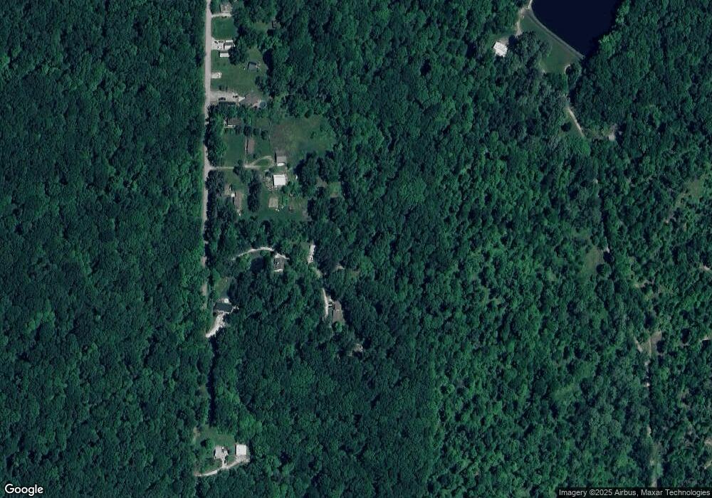
Map
Nearby Homes
- Lot 5 Goat Hollow Estates
- 0 Goat Hollow Estates Lot 6
- Lot 2 Goat Hollow Estates Rd
- 0 Goat Hollow Estates Lot 4
- 0 Goat Hollow Lot 4
- 0 Goat Hollow Estate Lot 1
- 6150 Red Day Rd
- 4392 N York Dr
- 1740 Haven Trail
- 7247 Bethany Blvd
- 0 E Terrace S Unit MBR22039049
- 8548 N Observatory Ln
- 8190 Beech Grove Rd
- 326 Mcclure Blvd
- 0 N Oxford Ct Unit MBR21838244
- N Oxford Ct N Oxford Ct
- 7591 - 7593 N Old State Road 67
- 7591-7593 N Old State Road 67
- Lot #297 E Durham Dr
- LOT 293 E Durham Dr
- 450 E Red Day Dr
- 5835 Red Day Rd
- 496 E Red Day Dr
- 417 E Red Day Dr
- 5785 Red Day Rd
- 5939 Red Day Rd
- 5949 Red Day Rd
- 5979 Red Day Rd
- 5645 Red Day Rd
- 5991 Red Day Rd
- 6005 Red Day Rd
- 6040 Red Day Rd
- 6055 Red Day Rd
- 6060 Red Day Rd
- 6130 Goat Hollow Rd
- 6095 Red Day Rd
- 6140 Goat Hollow Rd
- 6125 Red Day Rd
- 6110 Red Day Rd
- 6395 Red Day Rd