450 Forrest Hill S Rd Dahlonega, GA 30533
Estimated Value: $72,699 - $116,000
--
Bed
2
Baths
--
Sq Ft
2.29
Acres
About This Home
This home is located at 450 Forrest Hill S Rd, Dahlonega, GA 30533 and is currently estimated at $98,900. 450 Forrest Hill S Rd is a home located in Lumpkin County with nearby schools including Lumpkin County High School.
Ownership History
Date
Name
Owned For
Owner Type
Purchase Details
Closed on
Jul 31, 2018
Sold by
Roberson Denise
Bought by
Wesley Chapel Road Land Llc
Current Estimated Value
Purchase Details
Closed on
Jul 11, 2014
Sold by
Gilstrap Davis Richard
Bought by
Roberson Denise
Purchase Details
Closed on
Jun 19, 2013
Sold by
Roberson Keith Eugene
Bought by
Gilstrap Davis Richard L
Purchase Details
Closed on
Jul 7, 2006
Sold by
Not Provided
Bought by
Roberson Keith E
Home Financials for this Owner
Home Financials are based on the most recent Mortgage that was taken out on this home.
Original Mortgage
$17,550
Interest Rate
6.54%
Mortgage Type
New Conventional
Purchase Details
Closed on
Dec 1, 1986
Sold by
Judith A
Bought by
Snead Durwood S
Purchase Details
Closed on
Sep 1, 1985
Bought by
Kraft Darlene
Create a Home Valuation Report for This Property
The Home Valuation Report is an in-depth analysis detailing your home's value as well as a comparison with similar homes in the area
Home Values in the Area
Average Home Value in this Area
Purchase History
| Date | Buyer | Sale Price | Title Company |
|---|---|---|---|
| Wesley Chapel Road Land Llc | $40,000 | -- | |
| Roberson Denise | $3,000 | -- | |
| Gilstrap Davis Richard L | $3,000 | -- | |
| Roberson Keith E | $117,000 | -- | |
| Snead Durwood S | -- | -- | |
| Kraft Darlene | -- | -- |
Source: Public Records
Mortgage History
| Date | Status | Borrower | Loan Amount |
|---|---|---|---|
| Previous Owner | Roberson Keith E | $17,550 | |
| Previous Owner | Roberson Keith E | $93,600 |
Source: Public Records
Tax History Compared to Growth
Tax History
| Year | Tax Paid | Tax Assessment Tax Assessment Total Assessment is a certain percentage of the fair market value that is determined by local assessors to be the total taxable value of land and additions on the property. | Land | Improvement |
|---|---|---|---|---|
| 2024 | $347 | $10,644 | $10,644 | $0 |
| 2023 | $250 | $10,644 | $10,644 | $0 |
| 2022 | $264 | $10,644 | $10,644 | $0 |
| 2021 | $272 | $10,644 | $10,644 | $0 |
| 2020 | $281 | $10,644 | $10,644 | $0 |
| 2019 | $283 | $10,644 | $10,644 | $0 |
| 2018 | $302 | $10,644 | $10,644 | $0 |
| 2017 | $308 | $10,644 | $10,644 | $0 |
| 2016 | $318 | $10,644 | $10,644 | $0 |
| 2015 | $32 | $10,644 | $10,644 | $0 |
| 2014 | $32 | $10,644 | $10,644 | $0 |
| 2013 | -- | $10,644 | $10,644 | $0 |
Source: Public Records
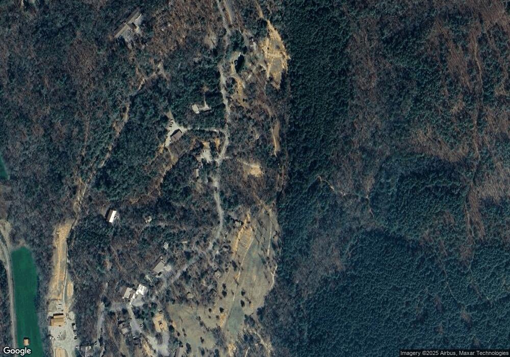
Map
Nearby Homes
- 47 Chester Rd
- 45 Chester Rd
- 00 Chester Rd
- 2716 Bailey Waters Rd
- 1028 Jess Grizzle Rd
- 61 Station Gap
- 119 Waldrip Rd
- 590 Ridge Rd
- 56 Deer Trail
- Lot123 Mountain View Rd
- LOT 124 Mountain View Rd
- LOT 123 Mountain View Rd
- Lot124 Mountain View Rd
- 564 Ridge Rd
- 0 Mccormick Dr Unit 7568882
- 0 Mccormick Dr Unit 10509566
- 38 &51 Mountain Crest Rd
- 117 Poplar Dr
- 748 Elm Ln Unit 8A
- 748 Elm Ln
- 415 Forrest Hill S Rd
- 515 Forrest Hill S Rd
- 0 Forrest Hills Rd Unit LOT 24 8381959
- 0 Forrest Hills Rd Unit LOT 24 3278476
- 100 Forrest Hills Rd
- 159 Lovebird Ln
- Lot 24 Forrest Hills Rd
- 598 Forrest Hills Rd
- 559 Forrest Hills Rd
- 275 Forest Run
- 135 Forrest Hill S Rd
- 135 Forrest Hill S Rd
- 117 Wrens Nest Dr
- 175 Wrens Nest Dr
- 780 Chester Rd
- 753 Forrest Hill S Rd
- 86 Moonlight Meadow
- 17 Wysteria Ln
- 874 Chester Rd
- 154 Ovr Th Hill Place