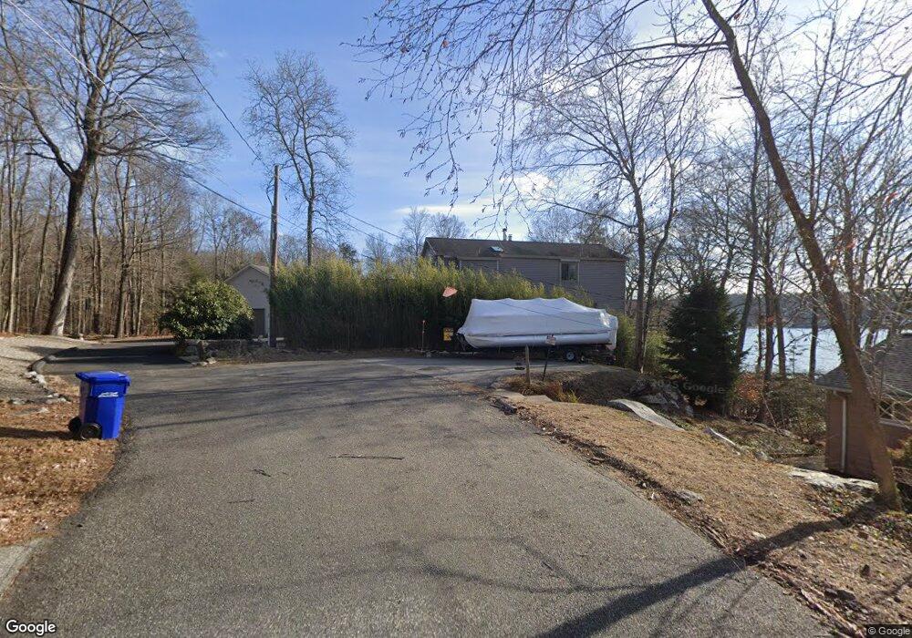
450 Hemlock Point Dr Coventry, CT 06238
Estimated Value: $574,000 - $1,020,116
3
Beds
3
Baths
1,941
Sq Ft
$380/Sq Ft
Est. Value
About This Home
This home is located at 450 Hemlock Point Dr, Coventry, CT 06238 and is currently estimated at $736,705, approximately $379 per square foot. 450 Hemlock Point Dr is a home located in Tolland County with nearby schools including George Hersey Robertson School, Coventry Grammar School, and Capt. Nathan Hale School.
Ownership History
Date
Name
Owned For
Owner Type
Purchase Details
Closed on
Jul 6, 2022
Sold by
Boucher Robert J and Boucher Blanche F
Bought by
Buckley Elizabeth C and Boucher Robert J
Current Estimated Value
Purchase Details
Closed on
May 1, 1998
Sold by
Est Moriarty Matthew and Moriarty Maurice
Bought by
Boucher Robert and Boucher Blance
Create a Home Valuation Report for This Property
The Home Valuation Report is an in-depth analysis detailing your home's value as well as a comparison with similar homes in the area
Home Values in the Area
Average Home Value in this Area
Purchase History
| Date | Buyer | Sale Price | Title Company |
|---|---|---|---|
| Buckley Elizabeth C | -- | None Available | |
| Boucher Robert | $200,000 | -- | |
| Boucher Robert | $200,000 | -- |
Source: Public Records
Tax History
| Year | Tax Paid | Tax Assessment Tax Assessment Total Assessment is a certain percentage of the fair market value that is determined by local assessors to be the total taxable value of land and additions on the property. | Land | Improvement |
|---|---|---|---|---|
| 2025 | $16,045 | $675,300 | $414,500 | $260,800 |
| 2024 | $14,843 | $445,600 | $304,300 | $141,300 |
| 2023 | $14,143 | $445,600 | $304,300 | $141,300 |
| 2022 | $13,880 | $445,600 | $304,300 | $141,300 |
| 2021 | $13,880 | $445,600 | $304,300 | $141,300 |
| 2020 | $13,889 | $445,600 | $304,300 | $141,300 |
| 2019 | $14,348 | $445,600 | $304,300 | $141,300 |
| 2018 | $13,498 | $419,200 | $281,100 | $138,100 |
| 2017 | $13,414 | $419,200 | $281,100 | $138,100 |
| 2016 | $13,079 | $419,200 | $281,100 | $138,100 |
| 2015 | $13,079 | $419,200 | $281,100 | $138,100 |
| 2014 | $12,239 | $429,900 | $285,700 | $144,200 |
Source: Public Records
Map
Nearby Homes
- 152 Cheney Ln
- 0 Woodland Rd
- 27 Fox Trail
- 0 Daly Rd Unit 24146464
- 198 Forest Rd
- 2478 Main St
- 17 Ireland Dr
- 0 Hinkel Mae Dr
- 498 Root Rd
- 55 Whites Hill Rd
- 550 High St
- 864 Boston Turnpike
- 0 Skinner Hill Rd Unit 24077239
- 499 Woodmont Dr
- 0 Wheeling Rd Unit 24116879
- 103 S Street Extension
- 106 S Street Extension
- 149 Hillyndale Rd
- 17 Route 6
- 31 Wyllys Farm Rd
- 433 Hemlock Point Dr
- 421 Hemlock Point Dr
- 436 Hemlock Point Dr
- 411 Hemlock Point Dr
- 457 Hemlock Point Dr
- 402 Hemlock Point Dr
- 397 Hemlock Point Dr
- 333 Hemlock Point Dr
- 396 Hemlock Point Dr
- 291 Hemlock Point Dr
- 383 Hemlock Point Dr
- 390 Hemlock Point Dr
- 321 Hemlock Point Dr
- 386 Hemlock Point Dr
- 297 Hemlock Point Dr
- 359 Hemlock Point Dr
- 382 Hemlock Point Dr
- 334 Hemlock Point Dr
- 378 Hemlock Point Dr
- 309 Hemlock Point Dr
Your Personal Tour Guide
Ask me questions while you tour the home.