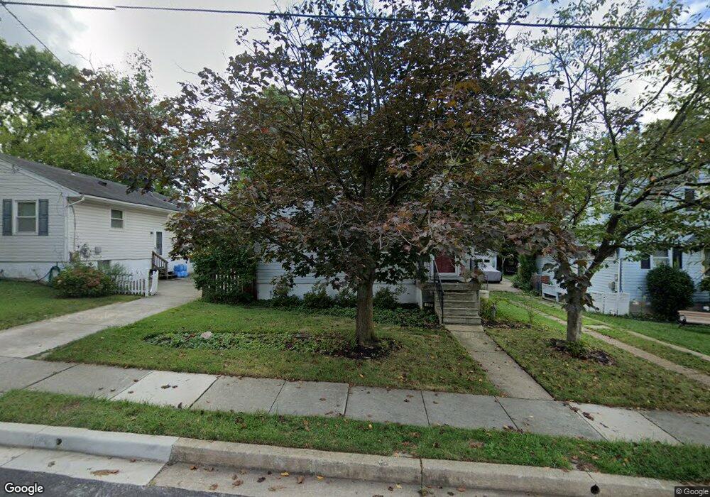
450 Kent Ave Catonsville, MD 21228
Estimated Value: $338,000 - $389,000
--
Bed
1
Bath
1,248
Sq Ft
$298/Sq Ft
Est. Value
About This Home
This home is located at 450 Kent Ave, Catonsville, MD 21228 and is currently estimated at $372,504, approximately $298 per square foot. 450 Kent Ave is a home located in Baltimore County with nearby schools including Hillcrest Elementary School, Catonsville Middle School, and Catonsville High School.
Ownership History
Date
Name
Owned For
Owner Type
Purchase Details
Closed on
Jul 22, 2004
Sold by
Murray Dylan Francis
Bought by
Kosloski Jon T and Kosloski Lauren M
Current Estimated Value
Purchase Details
Closed on
Jul 21, 2004
Sold by
Murray Dylan Francis
Bought by
Kosloski Jon T and Kosloski Lauren M
Purchase Details
Closed on
Jul 6, 2004
Sold by
Murray Dylan Francis
Bought by
Kosloski Jon T and Kosloski Lauren M
Purchase Details
Closed on
Jun 17, 1994
Sold by
Robinson James
Bought by
Murray Dylan F
Home Financials for this Owner
Home Financials are based on the most recent Mortgage that was taken out on this home.
Original Mortgage
$107,100
Interest Rate
8.5%
Create a Home Valuation Report for This Property
The Home Valuation Report is an in-depth analysis detailing your home's value as well as a comparison with similar homes in the area
Home Values in the Area
Average Home Value in this Area
Purchase History
| Date | Buyer | Sale Price | Title Company |
|---|---|---|---|
| Kosloski Jon T | $225,000 | -- | |
| Kosloski Jon T | $225,000 | -- | |
| Kosloski Jon T | $225,000 | -- | |
| Murray Dylan F | $109,900 | -- |
Source: Public Records
Mortgage History
| Date | Status | Borrower | Loan Amount |
|---|---|---|---|
| Previous Owner | Murray Dylan F | $107,100 |
Source: Public Records
Tax History Compared to Growth
Tax History
| Year | Tax Paid | Tax Assessment Tax Assessment Total Assessment is a certain percentage of the fair market value that is determined by local assessors to be the total taxable value of land and additions on the property. | Land | Improvement |
|---|---|---|---|---|
| 2025 | $3,900 | $265,900 | -- | -- |
| 2024 | $3,900 | $250,300 | $91,100 | $159,200 |
| 2023 | $1,895 | $241,633 | $0 | $0 |
| 2022 | $3,814 | $232,967 | $0 | $0 |
| 2021 | $3,463 | $224,300 | $91,100 | $133,200 |
| 2020 | $3,463 | $215,767 | $0 | $0 |
| 2019 | $3,164 | $207,233 | $0 | $0 |
| 2018 | $2,969 | $198,700 | $76,100 | $122,600 |
| 2017 | $2,756 | $190,133 | $0 | $0 |
| 2016 | $2,438 | $181,567 | $0 | $0 |
| 2015 | $2,438 | $173,000 | $0 | $0 |
| 2014 | $2,438 | $173,000 | $0 | $0 |
Source: Public Records
Map
Nearby Homes
- 429 Lafayette Ave
- 905 Woodsdale Rd
- 133 Wesley Ave
- 509 Valcour Rd
- 514 Kent Ave
- 518 Ingleside Ave
- 3 Arthur Ave
- 172 Winters Ln
- 0 Melvin Ave
- 177 Winters Ln
- 42 Winters Ln
- 201 Suter Rd
- 206 Winters Ln
- 38A Winters Ln
- 5926 Old Frederick Rd
- 346 Suter Rd
- 27 Glenwood Ave
- 14 Glenwood Ave
- 6040 Old Frederick Rd
- 343 N Beaumont Ave
- 448H Kent Ave
- 452 Kent Ave
- 448 Kent Ave
- 448 Kent Ave Unit H
- 413 Lafayette Ave
- 454 Kent Ave
- 411 Lafayette Ave
- 415 Lafayette Ave
- 446 Kent Ave
- 415 Lafayette Ave
- 449 Kent Ave
- 421 Lafayette Ave
- 409 Lafayette Ave
- 444 Kent Ave
- 721 Raynor Ave
- 456A Kent Ave
- 445 Kent Ave
- 719 Linda Dr
- 719 Raynor Ave
- 423 Lafayette Ave