450 Lewis Deas Rd Fort Worth, TX 76108
Far West Fort Worth NeighborhoodEstimated Value: $573,000
--
Bed
--
Bath
1,280
Sq Ft
$448/Sq Ft
Est. Value
About This Home
This home is located at 450 Lewis Deas Rd, Fort Worth, TX 76108 and is currently estimated at $573,000, approximately $447 per square foot. 450 Lewis Deas Rd is a home located in Parker County with nearby schools including Silver Creek Elementary School, Azle Elementary School, and Azle Junior High School.
Ownership History
Date
Name
Owned For
Owner Type
Purchase Details
Closed on
Jun 25, 2024
Sold by
Timmons Donna Brock and White Jay Brock
Bought by
Timmons Donna Brock and White Jay Brock
Current Estimated Value
Purchase Details
Closed on
Oct 23, 2023
Sold by
Brock Regina Gayle
Bought by
Timmons Donna Brock and White Jay Brock
Purchase Details
Closed on
Mar 4, 2016
Sold by
Brock Daniel M and Brock Regina G
Bought by
Brock Daniel M & Regina C Life Estate
Purchase Details
Closed on
May 2, 1972
Bought by
Brock Daniel M & Regina C Life Estate
Create a Home Valuation Report for This Property
The Home Valuation Report is an in-depth analysis detailing your home's value as well as a comparison with similar homes in the area
Home Values in the Area
Average Home Value in this Area
Purchase History
| Date | Buyer | Sale Price | Title Company |
|---|---|---|---|
| Timmons Donna Brock | -- | None Listed On Document | |
| Timmons Donna Brock | -- | None Listed On Document | |
| Timmons Donna Brock | -- | None Listed On Document | |
| Brock Regina C | -- | None Listed On Document | |
| Brock Daniel M & Regina C Life Estate | -- | -- | |
| Tompkins Teo Dewayne | -- | Attorney | |
| Brock Daniel M & Regina C Life Estate | -- | -- |
Source: Public Records
Tax History Compared to Growth
Tax History
| Year | Tax Paid | Tax Assessment Tax Assessment Total Assessment is a certain percentage of the fair market value that is determined by local assessors to be the total taxable value of land and additions on the property. | Land | Improvement |
|---|---|---|---|---|
| 2025 | $381 | $139,870 | $30,920 | $108,950 |
| 2024 | $381 | $99,374 | -- | -- |
| 2023 | $381 | $90,340 | $0 | $0 |
| 2022 | $1,520 | $99,530 | $16,220 | $83,310 |
| 2021 | $1,448 | $99,530 | $16,220 | $83,310 |
| 2020 | $1,309 | $67,880 | $11,080 | $56,800 |
| 2019 | $1,387 | $67,880 | $11,080 | $56,800 |
| 2018 | $1,267 | $61,810 | $7,000 | $54,810 |
| 2017 | $1,208 | $61,810 | $7,000 | $54,810 |
| 2016 | $1,040 | $53,250 | $7,000 | $46,250 |
| 2015 | $276 | $53,250 | $7,000 | $46,250 |
| 2014 | $452 | $54,250 | $7,000 | $47,250 |
Source: Public Records
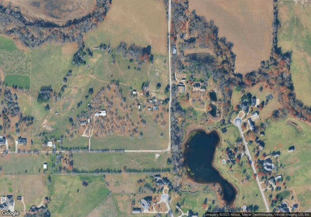
Map
Nearby Homes
- 420 Cattlebaron Parc Dr
- 694 Boling Ranch Rd
- 742 Boling Ranch Rd
- 142 Crown Ridge Ct
- 108 Stone Canyon Cir
- 100 Stone Canyon Cir
- 145 Ranch Creek Dr
- 813 Remuda Dr
- 741 Remuda Dr
- 101 Deer Crossing Way
- 1144 Rd
- 1144 Boling Ranch Rd N
- 175 N Boyce Ln
- 129 Lariat Ct
- 918 Boling Ranch Rd
- 900 Reese Ln
- 125 Branding Iron Ct
- 101 E Bozeman Ln
- 301 Silver Canyon Dr
- 104 Woodview Creek Trail
- 159 Waggoner Ct
- 650 Lewis Deas Rd
- 700 Lewis Deas Rd
- 565 Lewis Deas Rd
- TBD Lewis Deas Rd
- 158 Waggoner Ct
- 158 Waggoner Ct
- 115 Matador Ct
- 133 Waggoner Ct
- 146 Waggoner Ct
- 770 Lewis Deas Rd
- 107 Matador Ct
- 761 Lewis Deas Rd
- 134 Waggoner Ct
- 769 Lewis Deas Rd
- 101 Matador Ct
- 122 Waggoner Ct
- 224 Cattlebaron Parc Dr
- 850 Lewis Deas Rd
- 212 Cattlebaron Parc Dr