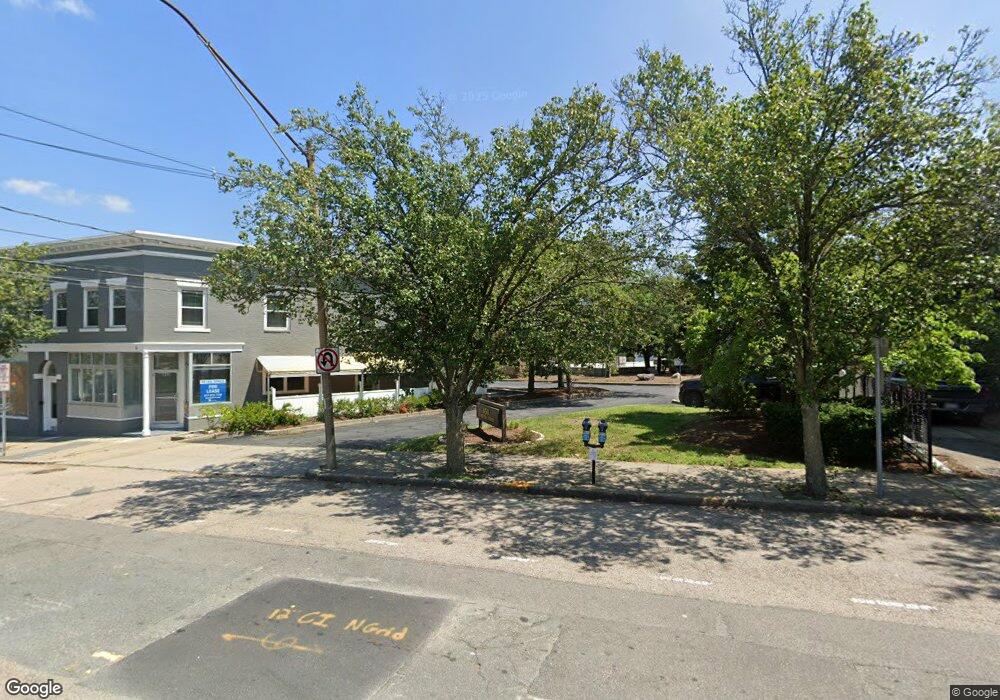
450 Lexington St Unit 201 Auburndale, MA 02466
Auburndale NeighborhoodEstimated Value: $926,356
--
Bed
--
Bath
2,156
Sq Ft
$430/Sq Ft
Est. Value
About This Home
This home is located at 450 Lexington St Unit 201, Auburndale, MA 02466 and is currently estimated at $926,356, approximately $429 per square foot. 450 Lexington St Unit 201 is a home located in Middlesex County with nearby schools including C.C. Burr, F.A. Day Middle School, and Newton North High School.
Ownership History
Date
Name
Owned For
Owner Type
Purchase Details
Closed on
Dec 5, 2024
Sold by
Gentile Leonard J
Bought by
Rubicon Lexington St Llc
Current Estimated Value
Purchase Details
Closed on
Aug 8, 2008
Sold by
450 Lexington Street L
Bought by
Gentile Leonard J
Create a Home Valuation Report for This Property
The Home Valuation Report is an in-depth analysis detailing your home's value as well as a comparison with similar homes in the area
Home Values in the Area
Average Home Value in this Area
Purchase History
| Date | Buyer | Sale Price | Title Company |
|---|---|---|---|
| Rubicon Lexington St Llc | $875,000 | None Available | |
| Rubicon Lexington St Llc | $875,000 | None Available | |
| Gentile Leonard J | -- | -- | |
| Gentile Leonard J | -- | -- |
Source: Public Records
Mortgage History
| Date | Status | Borrower | Loan Amount |
|---|---|---|---|
| Previous Owner | Gentile Leonard J | $500,000 |
Source: Public Records
Tax History Compared to Growth
Tax History
| Year | Tax Paid | Tax Assessment Tax Assessment Total Assessment is a certain percentage of the fair market value that is determined by local assessors to be the total taxable value of land and additions on the property. | Land | Improvement |
|---|---|---|---|---|
| 2025 | $13,738 | $749,100 | $0 | $749,100 |
| 2024 | $13,846 | $755,400 | $0 | $755,400 |
| 2023 | $15,445 | $809,900 | $0 | $809,900 |
| 2022 | $15,469 | $775,400 | $0 | $775,400 |
| 2021 | $14,893 | $740,200 | $0 | $740,200 |
| 2020 | $14,745 | $740,200 | $0 | $740,200 |
| 2019 | $14,413 | $722,800 | $0 | $722,800 |
| 2018 | $13,611 | $660,100 | $0 | $660,100 |
| 2017 | $13,138 | $617,700 | $0 | $617,700 |
| 2016 | $13,552 | $617,700 | $0 | $617,700 |
| 2015 | $13,824 | $617,700 | $0 | $617,700 |
Source: Public Records
Map
Nearby Homes
- 226 Auburn St Unit 226
- 224 Auburn St Unit 224
- 224 Auburn St Unit A
- 283 Melrose St
- 62-64 Rowe St Unit B
- 2202 Commonwealth Ave Unit 2
- 2202 Commonwealth Ave Unit 1
- 17 Lasell St
- 13 Weir St
- 160 Pine St Unit 12
- 17 Crescent St
- 51 Bourne St
- 10 Crescent St Unit 1
- 10 Crescent St Unit 2
- 49 Staniford St
- 17 Gilbert St
- 283 Woodland Rd
- 1639 Washington St
- 27 Oakwood Rd
- 0 Duncan Rd Unit 72925240
- 450 Lexington St Unit 204
- 450 Lexington St Unit Suite 104
- 450 Lexington St Unit 203
- 450 Lexington St
- 271 Auburn St
- 271 Auburn St
- 287 Auburn St
- 438-442 Lexington St
- 430 Lexington St
- 415 Lexington St
- 417 Lexington St
- 303 Auburn St
- 100 Confidential Way
- 318 Auburn St Unit A
- 409 Lexington St
- 2061 Commonwealth Ave
- 2061 Commonwealth Ave Unit 2
- 2053 Commonwealth Ave
- 2053 Commonwealth Ave Unit 3
- 2053 Commonwealth Ave Unit 1