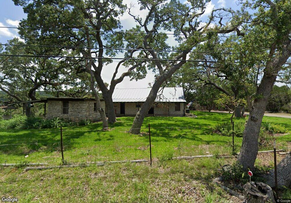
450 Lonesome Dove Unit 2 Bulverde, TX 78163
Comal NeighborhoodEstimated Value: $716,000 - $1,028,280
--
Bed
1
Bath
2,091
Sq Ft
$412/Sq Ft
Est. Value
About This Home
This home is located at 450 Lonesome Dove Unit 2, Bulverde, TX 78163 and is currently estimated at $861,070, approximately $411 per square foot. 450 Lonesome Dove Unit 2 is a home located in Comal County with nearby schools including Johnson Ranch Elementary School, Smithson Valley Middle School, and Smithson Valley High School.
Ownership History
Date
Name
Owned For
Owner Type
Purchase Details
Closed on
Dec 22, 2015
Sold by
Bradfield Robert W and Bradfield Bernadine
Bought by
Maddox Dalton and Maddox Gretchen
Current Estimated Value
Home Financials for this Owner
Home Financials are based on the most recent Mortgage that was taken out on this home.
Original Mortgage
$472,000
Interest Rate
4.03%
Mortgage Type
Commercial
Create a Home Valuation Report for This Property
The Home Valuation Report is an in-depth analysis detailing your home's value as well as a comparison with similar homes in the area
Home Values in the Area
Average Home Value in this Area
Purchase History
| Date | Buyer | Sale Price | Title Company |
|---|---|---|---|
| Maddox Dalton | $472,000 | Netco Inc |
Source: Public Records
Mortgage History
| Date | Status | Borrower | Loan Amount |
|---|---|---|---|
| Previous Owner | Maddox Dalton | $472,000 |
Source: Public Records
Tax History Compared to Growth
Tax History
| Year | Tax Paid | Tax Assessment Tax Assessment Total Assessment is a certain percentage of the fair market value that is determined by local assessors to be the total taxable value of land and additions on the property. | Land | Improvement |
|---|---|---|---|---|
| 2025 | $13,200 | $559,480 | $340,610 | $218,870 |
| 2024 | $13,200 | $867,890 | $648,280 | $219,610 |
| 2023 | $13,200 | $866,870 | $648,280 | $218,590 |
| 2022 | $12,453 | $722,800 | $504,270 | $218,530 |
| 2021 | $8,842 | $486,790 | $314,880 | $171,910 |
| 2020 | $9,080 | $480,950 | $314,880 | $166,070 |
| 2019 | $5,377 | $278,180 | $85,820 | $192,360 |
| 2018 | $6,552 | $338,950 | $119,200 | $219,750 |
| 2017 | $6,859 | $357,630 | $119,200 | $238,430 |
| 2016 | $6,584 | $343,270 | $119,200 | $224,070 |
| 2015 | $4,956 | $410,510 | $194,080 | $216,430 |
| 2014 | $4,956 | $400,120 | $194,080 | $206,040 |
Source: Public Records
Map
Nearby Homes
- 226 Shearer Rd
- 1124 Portnall Place Rd
- 751 Shearer Rd
- 5907 Draw Loop
- 6056 Draw Loop
- 29545 Lost Copper
- 31920 Native Sun Rd
- 3625 Copper Horse
- 34676 Ansley Ridge Trail
- 34668 Ansley Ridge Trail
- 29554 Lost Copper
- 2561 Stoney Creek Dr
- 5990 Temerity Way
- 3869 Wrangler Cir
- 3877 Wrangler Cir
- 6527 Preakness Pass
- 710 Stoney Ridge Rd
- 0 State Highway 46 W
- 6239 Chastetree
- 31838 Cherry Island
- 450 Lonesome Dove Unit 1
- 450 Lonesome Dove
- 450 Lonesome Dove
- 450 Lonesome Dove
- 359 Lonesome Dove
- 419 Lonesome Dove
- 471 Lonesome Dove
- 34000 Smithson Valley Rd
- 615 Lonesome Dove
- 33600 Smithson Valley Rd
- 33600 Smithson Valley Rd
- 1160 Windmill Pass
- 33801 Smithson Valley Rd
- 952 Lonesome Dove
- 785 Lonesome Dove
- 33552 Smithson Valley Rd
- 34170 Smithson Valley Rd
- 1000 Ridge Creek Ln
- 33633 Smithson Valley Rd
- 34240 Smithson Valley Rd