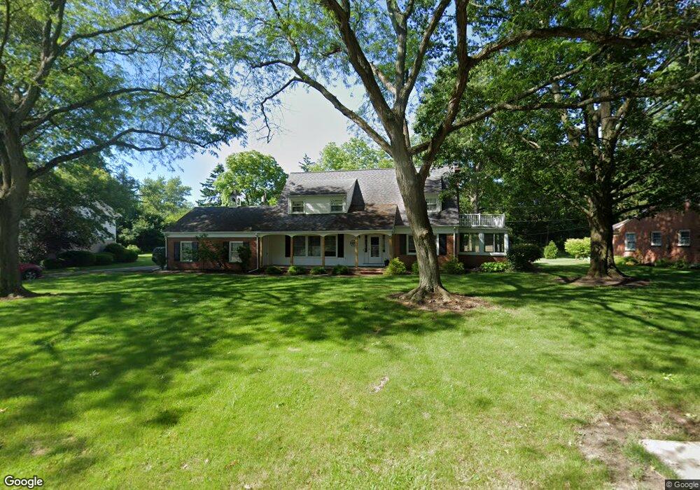
450 Mader Dr Bucyrus, OH 44820
Estimated Value: $334,000 - $374,000
4
Beds
4
Baths
1,758
Sq Ft
$200/Sq Ft
Est. Value
About This Home
This home is located at 450 Mader Dr, Bucyrus, OH 44820 and is currently estimated at $351,979, approximately $200 per square foot. 450 Mader Dr is a home located in Crawford County with nearby schools including Bucyrus Elementary School, Bucyrus Secondary School, and CENTER FOR AUTISM / DYSLEXIA - BUCYRUS.
Ownership History
Date
Name
Owned For
Owner Type
Purchase Details
Closed on
May 15, 2019
Sold by
Heckenhauer Janet M
Bought by
Hoover Matthew S and Hoover Anne K
Current Estimated Value
Home Financials for this Owner
Home Financials are based on the most recent Mortgage that was taken out on this home.
Original Mortgage
$172,000
Outstanding Balance
$150,605
Interest Rate
4%
Mortgage Type
New Conventional
Estimated Equity
$201,374
Create a Home Valuation Report for This Property
The Home Valuation Report is an in-depth analysis detailing your home's value as well as a comparison with similar homes in the area
Home Values in the Area
Average Home Value in this Area
Purchase History
| Date | Buyer | Sale Price | Title Company |
|---|---|---|---|
| Hoover Matthew S | $215,000 | Acs Title Bucyrus |
Source: Public Records
Mortgage History
| Date | Status | Borrower | Loan Amount |
|---|---|---|---|
| Open | Hoover Matthew S | $172,000 |
Source: Public Records
Tax History Compared to Growth
Tax History
| Year | Tax Paid | Tax Assessment Tax Assessment Total Assessment is a certain percentage of the fair market value that is determined by local assessors to be the total taxable value of land and additions on the property. | Land | Improvement |
|---|---|---|---|---|
| 2024 | $4,404 | $97,620 | $9,010 | $88,610 |
| 2023 | $4,404 | $62,030 | $8,540 | $53,490 |
| 2022 | $3,309 | $62,030 | $8,540 | $53,490 |
| 2021 | $3,302 | $62,030 | $8,540 | $53,490 |
| 2020 | $3,220 | $57,340 | $8,540 | $48,800 |
| 2019 | $3,292 | $57,340 | $8,540 | $48,800 |
| 2018 | $3,277 | $57,340 | $8,540 | $48,800 |
| 2017 | $3,157 | $53,310 | $8,540 | $44,770 |
| 2016 | $3,061 | $53,310 | $8,540 | $44,770 |
| 2015 | $2,456 | $53,310 | $8,540 | $44,770 |
| 2014 | $2,445 | $53,310 | $8,540 | $44,770 |
| 2013 | $2,445 | $53,310 | $8,540 | $44,770 |
Source: Public Records
Map
Nearby Homes
- 1211 S Sandusky Ave
- 900 S Spring St
- 1258 S Sandusky Ave
- 1021 S Sandusky Ave
- 0 Lynne Ave
- 1145 Lynne Ave
- 137 Wallace Ave
- 221 W Oakwood Ave
- 703 S Poplar St
- 1112 Hillcrest Dr
- 823 S Walnut St
- 622 S Poplar St
- 325 W Liberty St
- 1123 Hillcrest Dr
- 531 S Poplar St
- 427 E Southern Ave
- 419 Short St
- 550 S Walnut St
- 508 W Charles St
- 2440 Wyandot Rd